
Geomorphology: study of landforms and surface processes
Scientific study of landforms, the processes that shape them, and landscape evolution. Combines field observation, experiments and modeling; informs hazard assessment, planning, and planetary studies.
Overview
Geomorphology is the scientific study of landforms and the processes that create, modify and destroy them. It examines the evolution of topography and the arrangement of features across landscapes, seeking to explain why surfaces have particular shapes, how they change through time, and how they respond to natural and human disturbances. The discipline integrates observations from the field, laboratory experiments and quantitative approaches such as numerical modeling.
Image gallery
10 Images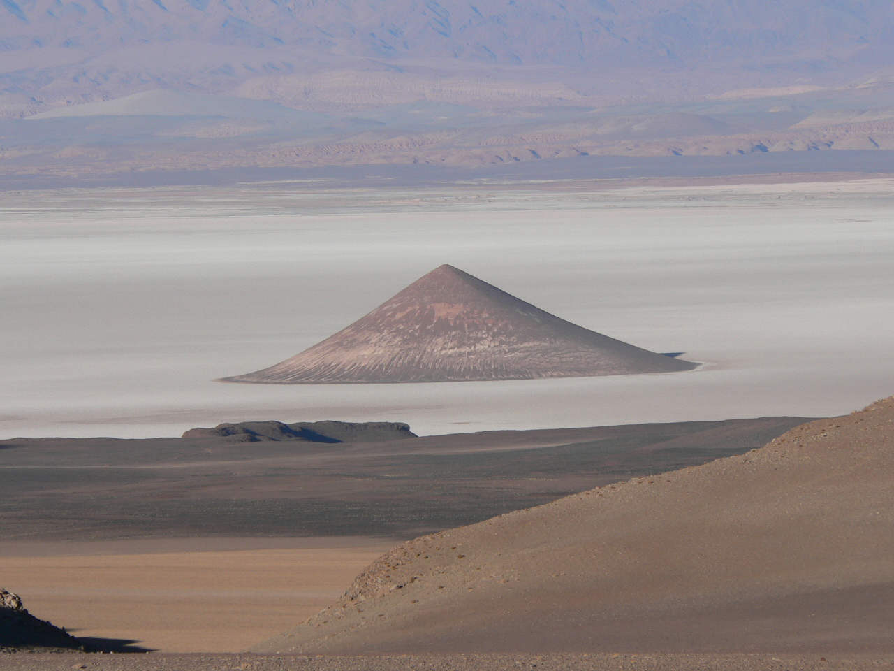




Key processes
Important surface processes include physical and chemical weathering, erosion by water, ice and wind, transport of sediment, and deposition. Tectonic uplift and subsidence, volcanism, glacial flow, coastal dynamics and mass wasting (landslides) are also central drivers. Interactions among climate, vegetation, rock or sediment properties, and time control which processes dominate and the forms they produce.
Methods and tools
Geomorphologists use field mapping, stratigraphic and sediment analyses, age-dating techniques, controlled laboratory and flume experiments, and computational models to test process hypotheses. Remote sensing, digital elevation models, LiDAR and geographic information systems support measurement and analysis across scales. These methods link form to process and allow reconstruction of landscape history.
Scales and timescales
Landforms and processes operate over a wide range of spatial and temporal scales, from ripples and dunes that change in hours to mountain ranges that evolve over millions of years. Quantitative approaches aim to bridge these scales and to relate short-term observations to long-term landscape evolution.
Interdisciplinary connections
Geomorphology overlaps with many fields. It is a core component of physical geography and geology, contributes to precise surface measurement in geodesy, informs engineering geology for infrastructure planning and slope stability, and provides context for archaeology where human artifacts are preserved in deposits.
Planetary applications
Principles of geomorphology are applied beyond Earth to interpret landforms on the Moon, Mars and icy moons, revealing how impact cratering, volcanism, fluvial and glacial processes operate under different gravity and atmospheric conditions. Comparative studies highlight similarities and differences in surface-shaping mechanisms.
Applications and importance
Applied geomorphology supports hazard assessment (flooding, landslides, coastal retreat), river and coastal management, restoration of degraded systems, and sustainable land-use planning. Because landforms preserve records of past environments, they are also valuable archives for paleoenvironmental reconstruction and for informing policy and resource management.
- Typical methods: mapping, sedimentology, dating, modeling and experiments.
- Scales: from bedforms in streams to regional drainage networks and mountain belts.
- Common tools: GIS, LiDAR, satellite imagery, instrumentation and numerical models.
Contemporary research emphasizes process quantification, prediction of landscape response to climate and land-use change, and integration of field observations with models to inform both basic science and practical decision-making.
Related articles
Author
AlegsaOnline.com Geomorphology: study of landforms and surface processes Leandro Alegsa
URL: https://en.alegsaonline.com/art/38150