Topography: description, features, history and applications
Topography is the study and description of the Earth's surface form — its uplands, lowlands and the arrangement of natural and human-made features, represented on maps and in digital models.
Topography is the study and depiction of the shape and arrangement of the Earth's surface. The word derives from Greek roots meaning "place" and "to write," and it sits within broader fields such as earth science. In everyday use topography refers to the visible forms of the landscape, from broad physiographic regions down to small-scale landforms.
Image gallery
6 Images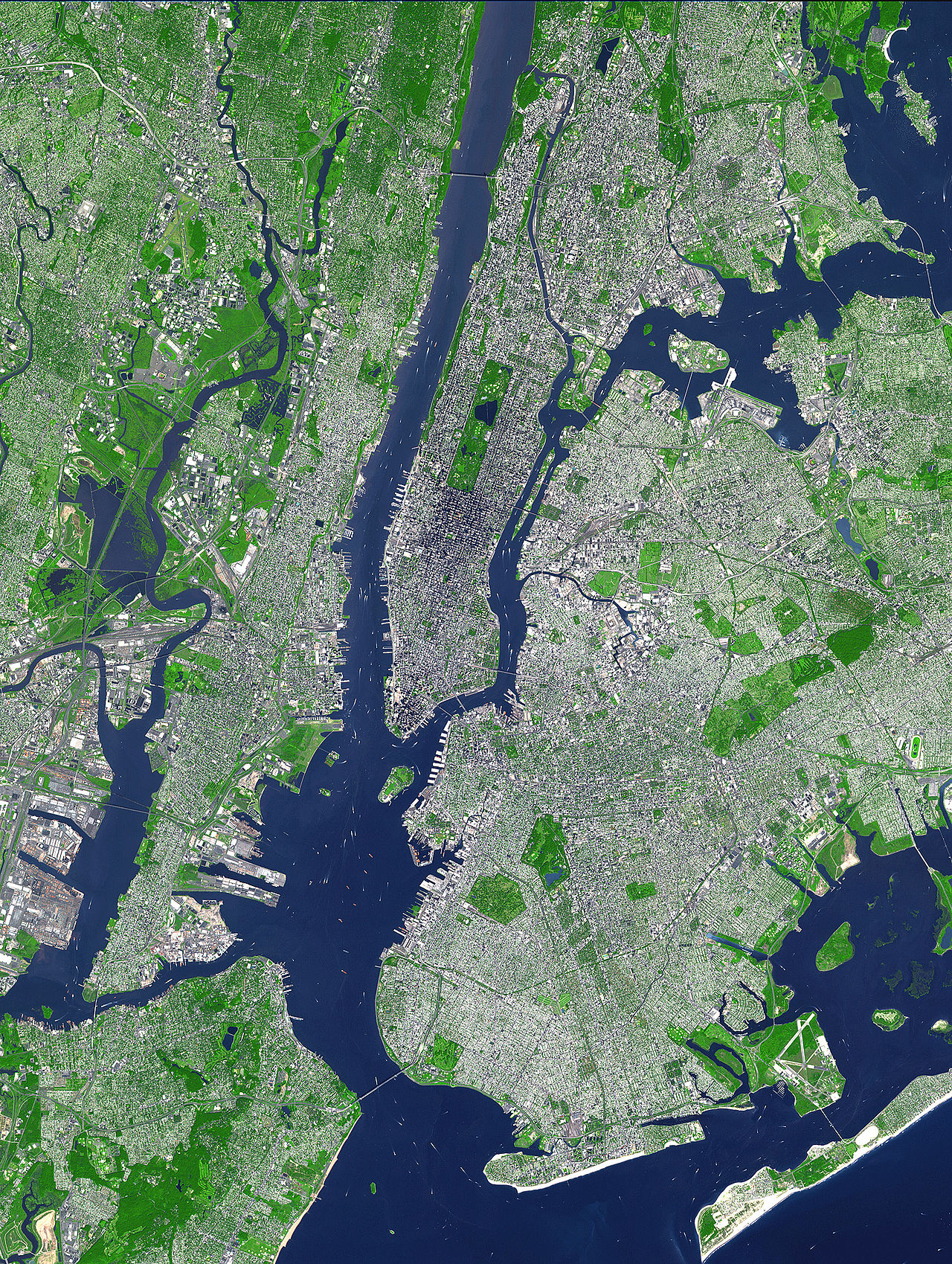


Key elements of topography
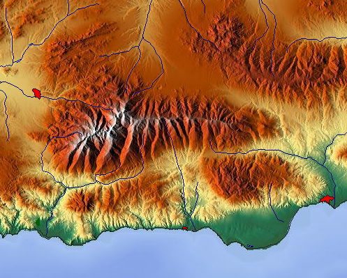
- Relief and elevation: differences in height above a reference level.
- Slope and aspect: steepness and direction of land surfaces.
- Specific landforms: valleys, hills, mountains, ridges and plains.
- Hydrological features: rivers, streams and lakes.
- Coastline and shoreline shapes and human alterations to the land (landscape context).
Topography is commonly shown on maps and models. Traditional topographic maps use contour lines, spot heights and symbols to convey elevation and landform type; modern work increasingly relies on digital elevation models and remote sensing. For printed and digital map traditions see examples of topographic maps.
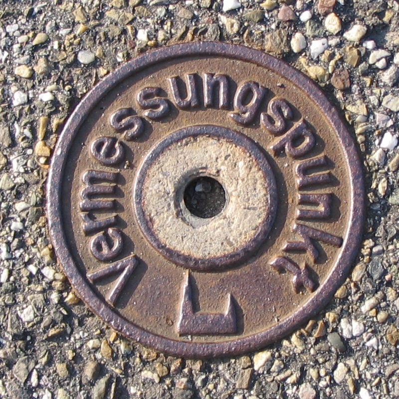
Methods for measuring topography range from field surveying to airborne and satellite techniques such as LiDAR, photogrammetry and radar. Each method varies in accuracy, spatial coverage and resolution; planners and scientists choose an approach based on the task, whether broad regional analysis or detailed site investigation.
Historically, topographic recording grew from early mapmaking and land surveys. Contour mapping became a standard practice for representing three-dimensional form on two-dimensional media. In recent decades geographic information systems and digital elevation datasets have made it easier to analyze slope, watershed boundaries and terrain visibility.
Practical uses of topography include engineering and infrastructure design, flood and landslide risk assessment, ecological habitat mapping, military navigation and outdoor recreation. Good topographic information supports land-use decisions, emergency response and natural resource management.
Distinctions to note: topography describes surface form on land, whereas related terms like bathymetry refer to underwater topography; physiography emphasizes larger-scale region classification. Scale and resolution strongly influence which topographic details are visible and how they are interpreted.

See also
- Mapping (cartography)
- Terrestrial photogrammetry
- Terrain profile
Related articles
Author
AlegsaOnline.com Topography: description, features, history and applications Leandro Alegsa
URL: https://en.alegsaonline.com/art/100656