Geography: the study of Earth's places, environments, and people
Geography examines Earth's physical features, human societies, and their interactions. It spans physical and human branches, mapping and methods, historical development, and practical applications.
Overview
Geography (from Greek geographia, literally "earth description") is the systematic study of the Earth, its physical features, and the distribution and activities of life on it. The subject considers landforms, water bodies, climate and ecosystems alongside human settlements, economies and cultures. A professional who practices geography is called a geographer, and the field seeks to explain where things are, why they are there, and how they change over time.
Image gallery
10 Images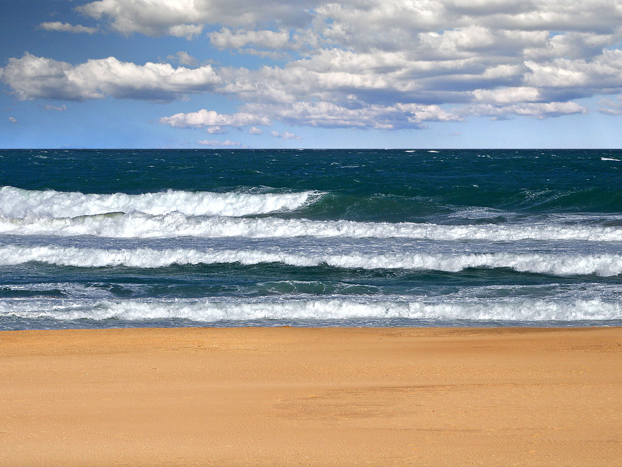


Physical features and phenomena
Physical geography describes natural elements of the planet: large-scale areas such as continents, oceans and seas, networks of rivers, and ranges of mountains. It also treats living systems and their distributions — for example, patterns of animals and plants — and dynamic processes such as tides, winds, and earthquakes. Subdisciplines include geomorphology (landforms), climatology (weather and climate), hydrology (water), and biogeography (life on Earth).
Human geography and cultural landscapes
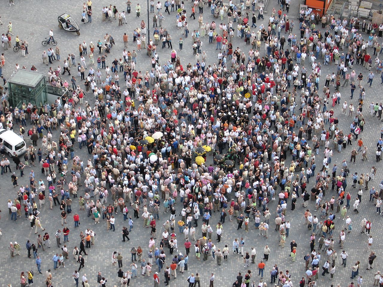
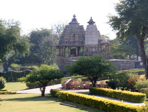
Human geography examines people, their communities and how they use space. Topics range from population distribution and mobility (population) to economic activities and trade (economy), urban planning, political organization, cultural practices and migration. Human geographers study how societies shape places and how places influence livelihoods, identities and social processes.
Branches, tools and methods
- Major branches: physical geography, human geography, and environmental geography, which integrates both perspectives.
- Mapping and representation: Maps are central to the discipline; creating them is the practice of cartography. Modern geographers commonly use remote sensing, geographic information systems (GIS), spatial statistics and field observation.
- Scales and approaches: Research ranges from local case studies to global synthesis and often combines qualitative and quantitative methods.
History and development
Geography has roots in ancient mapmaking and travel narratives, grew through medieval and early modern exploration, and professionalized in the 19th and 20th centuries as systematic regional studies and thematic research matured. Technological advances — surveying instruments, aerial photography, satellites and digital computing — have repeatedly reshaped what geographers can observe and analyze.
Applications and significance
Geography informs practical problems such as land-use planning, disaster risk reduction, resource management, transportation, public health and conservation. Its spatial perspective helps policymakers, scientists and communities anticipate change, manage environments, and design infrastructure. By linking physical processes to human decisions, geography contributes to sustainable development and to understanding global challenges such as climate change.
For further reading or introductory resources, see general surveys and textbooks used in introductory courses, specialized atlases, and digital map platforms maintained by academic and public institutions. The discipline continues to evolve as methods and data sources advance, retaining a central role in explaining how places and people are interconnected across the planet.
Questions and answers
Q: What is geography?
A: Geography is the study of earth and its people, including its features, inhabitants, and phenomena.
Q: Who is a geographer?
A: A geographer is a person who is an expert in geography and tries to understand the world and the things that are in it.
Q: How is geography divided?
A: Geography is divided into two main parts called physical geography and human geography. Physical geography studies the natural environment while human geography studies the human environment.
Q: What tools do geographers use?
A: Maps are a main tool of geography, so geographers spend much time making and studying them. Making maps is called cartography, and people who specialize in making maps are cartographers.
Q: What does physical geography study?
A: Physical geography studies the natural environment.
Q: What does human geography study?
A: Human geography studies the human environment such as population in a country, how a country's economy is doing, etc.
Q: What does environmental geography study?
A: Environmental Geography studies how humans interact with their natural environment such as climate change or pollution levels in an area.
Related articles
Author
AlegsaOnline.com Geography: the study of Earth's places, environments, and people Leandro Alegsa
URL: https://en.alegsaonline.com/art/38137
Sources
- etymonline.com : "Online Etymology Dictionary" · web.archive.org
- dictionary.reference.com : "Geography"
- web.clas.ufl.edu : web.clas.ufl.edu/users/morgans/lecture_2.prn.pdf · web.archive.org
- henry-davis.com : "Slide 103"
- books.google.com : Mathematics and the Sciences of the Heavens and the Earth
- jstor.org : 30222166