
Geodesy — the science of Earth’s shape, gravity and precise positioning
Geodesy is the scientific discipline that measures and models Earth's size, shape, gravity field and the precise positions of points on its surface for mapping, navigation and geoscience.
Geodesy is the scientific discipline concerned with measuring and modelling the Earth so that positions, distances and directions on and above the planet can be defined consistently. It overlaps with surveying and geography but extends to a global scale, combining observations of the surface, sea level and the gravity field to establish coordinate systems and reference surfaces. For introductions and technical overviews see technical resources and general geography texts, and historical treatments of field campaigns use specialised archival sources. Practical datasets often describe the terrestrial surface rather than only local surveys.
Image gallery
10 Images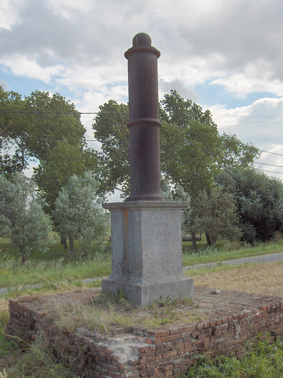


Core concepts
Central objects in geodesy include the reference ellipsoid and the geoid: mathematical and physical surfaces used to express height and position. The geometric model (ellipsoid) provides a simple, smooth shape for coordinate work while the geoid represents mean sea level and the equipotential surface of Earth's gravity field used for orthometric heights. Modern geodesy integrates measurements of gravity and the gravity potential (gravity field) to reconcile geometric and physical heights.
History and development
Formal scientific geodesy emerged in the 18th–19th centuries from national mapping and arc measurement efforts. Figures such as Friedrich Robert Helmert (1843–1917) helped establish geodesy as a distinct science by combining precise measurement, mathematical models and gravity studies. In the 20th and 21st centuries satellite techniques and global networks transformed the field, enabling continuous observation of motions, tides and long-term changes such as sea-level trends and crustal deformation; specialized studies examine effects like ocean and solid earth tides and pole movement (polar motion).
Methods and instruments
- Traditional geodetic methods: triangulation, trilateration and spirit levelling.
- Space-based techniques: GNSS (GPS, GLONASS, Galileo), satellite altimetry and satellite gravimetry.
- Gravity measurement: absolute and relative gravimeters, gravity gradiometry.
- Geodetic VLBI and SLR for precise time, orientation and distance monitoring.
Applications and significance
Geodesy underpins mapping, navigation, cadastral systems, infrastructure engineering and the reference frames used by mapping and positioning services. It provides essential input to geophysics and climatology: precise vertical datums for sea-level monitoring, measurement of tectonic plate motions for earthquake research, and accurate positioning for surveying and construction. International coordination maintains global reference frames that make data from different countries mutually consistent.
Distinctions and notable facts
Geodesy differs from general surveying by its global scope and by explicitly modelling the gravity field and time-dependent deformation. Subfields include physical geodesy (gravity and the geoid), geometric geodesy (coordinate systems and reference frames) and dynamic geodesy (time-variable processes). Readers can follow foundational overviews and datasets via institutional portals and educational pages such as key references and specialist portals at academic and research sites.
Related articles
Author
AlegsaOnline.com Geodesy — the science of Earth’s shape, gravity and precise positioning Leandro Alegsa
URL: https://en.alegsaonline.com/art/38092