Precipitation: forms, formation, measurement, and impacts
Comprehensive overview of precipitation: how it forms, common types (rain, snow, sleet, hail, dew, frost), how it is measured, and its environmental and societal importance.
Precipitation is any form of water — liquid or solid — that originates in the atmosphere and falls to the Earth's surface. It is a central concept in meteorology and a key component of the global water cycle, transferring moisture from clouds to land and oceans. Precipitation regulates freshwater supplies, influences ecosystems and agriculture, and plays a major role in weather and climate patterns.
Image gallery
10 Images


How precipitation forms
Precipitation begins when atmospheric water vapor condenses or deposits onto microscopic particles called cloud condensation nuclei or ice nuclei. Processes such as collision–coalescence (where liquid droplets merge) and the Bergeron–Findeisen mechanism (where ice crystals grow at the expense of supercooled water) lead to particle growth. Once droplets or ice crystals become sufficiently heavy, they descend under gravity and reach the surface. The initial phase change that creates liquid droplets from vapor is broadly described as condensation, while deposition refers to direct vapor-to-ice transitions.
Common types and distinctions
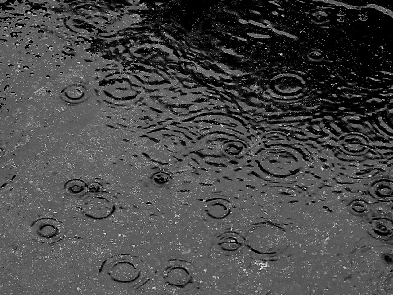
- Rain — liquid water drops that reach the ground. (rain)
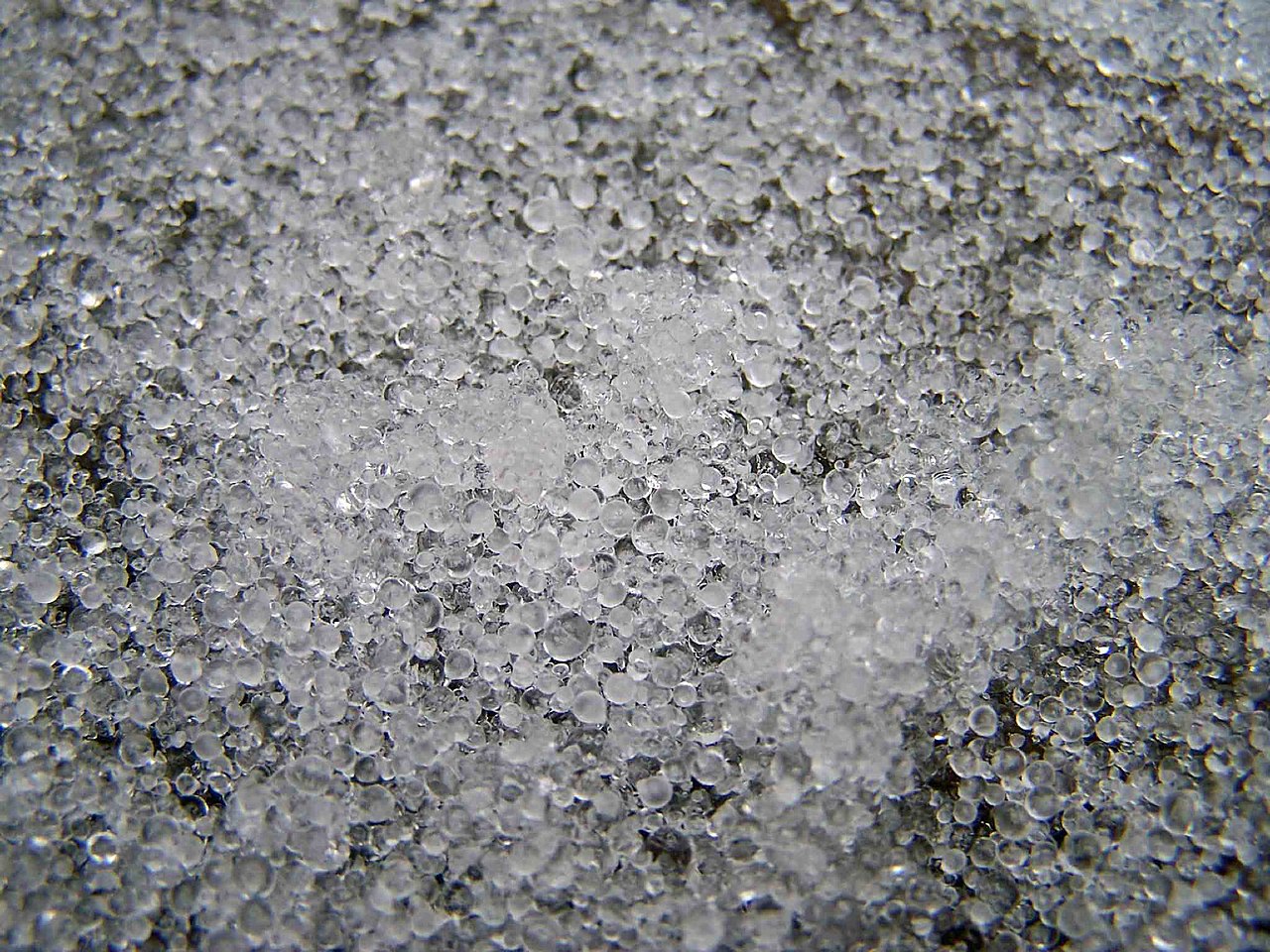
- Snow — ice crystals or aggregates of crystals; the most common solid precipitation in cold regions. (snow)
- Sleet — partially melted snow or refrozen raindrops that reach the surface as small pellets. (sleet)
- Ice pellets — similar to sleet; small, translucent pellets of frozen water. (ice pellets)
- Hail — layered ice stones produced in strong convective storms; can grow rapidly within thunderclouds.
- Dew — water condensed on surfaces near the ground, not precipitation from clouds. (dew)
- Frost — ice that forms on surfaces by deposition of water vapor, distinct from precipitation aloft. (frost)
Fog and mist consist of suspended tiny droplets or ice crystals near the surface and are considered atmospheric suspensions, not precipitating phenomena. (fog) Snow sometimes forms directly by vapor changing to solid ice crystals under the right temperature and humidity conditions.
Measurement and observation
Precipitation is quantified through several methods. A simple and widely used instrument is the rain gauge, which measures liquid accumulation. (rain gauge) Weather radars estimate precipitation intensity and movement by detecting returned radio waves from hydrometeors, while satellites provide broad coverage of cloud systems and large-scale precipitation patterns. Observers record type, intensity, and duration; these data feed flood forecasts, water-resource planning, and climate records.
Importance, impacts, and examples
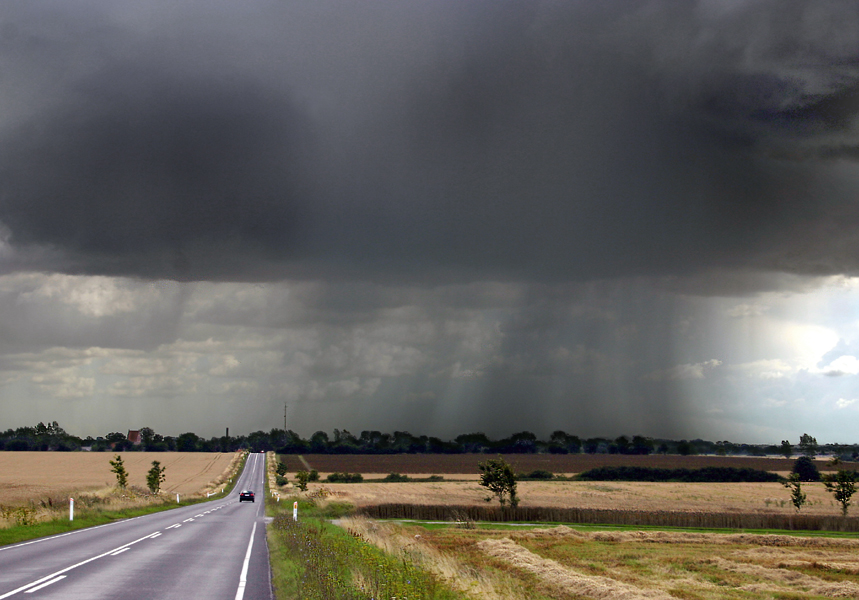
Precipitation sustains rivers, aquifers and soils and is essential for agriculture; conversely, too little leads to drought while excessive amounts cause flooding and landslides. Snowpack serves as a seasonal water reservoir in many regions. Urban areas are particularly vulnerable to intense rain because of paved surfaces and drainage limits. Hail can damage crops, vehicles and buildings; freezing rain causes hazardous ice on roads and power lines. Long-term changes in precipitation patterns are among the most significant indicators of climate variability and change.
Notable distinctions and practical notes
Different forms of frozen precipitation are often confused: freezing rain forms when raindrops freeze on contact with cold surfaces, while sleet and ice pellets are frozen before reaching the ground. Measurement units vary by application: liquid precipitation is typically reported in millimeters or inches, while snowfall is reported as depth (centimeters or inches) and sometimes water-equivalent depth. Historical records of precipitation date back centuries, and modern networks combine automated gauges, radar, and satellite retrievals to provide accurate, timely information for forecasting and water management.
Related articles
Author
AlegsaOnline.com Precipitation: forms, formation, measurement, and impacts Leandro Alegsa
URL: https://en.alegsaonline.com/art/78681