
Ice pellets (sleet): formation, characteristics and distinctions
Ice pellets are small, hard frozen precipitation formed when liquid droplets freeze before reaching the ground. This article explains formation, terminology (sleet, graupel, hail), hazards, and forecasting.
Overview
Ice pellets are small, solid balls of ice that fall from the atmosphere as a form of frozen precipitation. In North American meteorology the term sleet commonly refers to these pellets, though everyday usage and regional dialects vary. They are distinct from wet snow, graupel, and the larger, layered stones called hail.
Image gallery
4 Images


Formation and characteristics
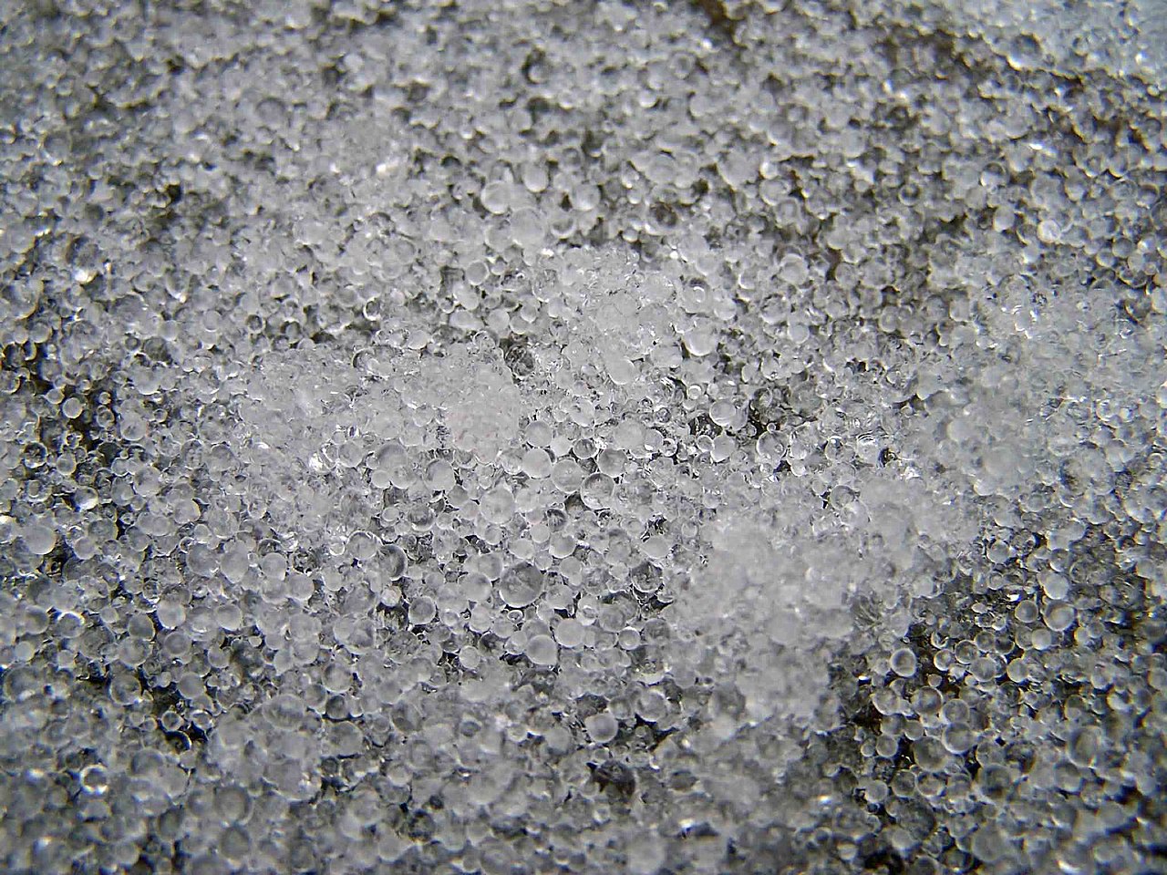
Ice pellets typically form when snowflakes or raindrops pass through a shallow layer of above-freezing air and partially melt, then fall through a deeper subfreezing layer near the surface that refreezes the drops into small, hard spheres. Alternatively, supercooled raindrops can freeze on contact as they fall. Pellets are usually translucent, hard, and small—often only a few millimetres across—and they often bounce when striking hard surfaces.
Terminology and similar phenomena
Words used to describe frozen precipitation differ by region. In some British contexts the word sleet may mean a rain-and-snow mix rather than true ice pellets; the term hailstones is generally reserved for larger, multilayered chunks formed in strong thunderclouds. Another related type is graupel, which are soft, rime-coated pellets that crumble more easily than true ice pellets. Authorities often classify these under the broader category of frozen precipitation.
Impacts and examples
Although smaller than hail, ice pellets can create slippery surfaces on roads and sidewalks and reduce visibility during heavy events. They rarely dent vehicles like large hail does, but accumulations can lead to brief icing conditions and hazardous travel. Meteorological reports and public weather warnings will note pellet events separately because their effects and required precautions differ from snow or freezing rain.
Measurement, forecasting, and notable facts
- Forecasting pellets depends on predicting vertical temperature profiles; sounding data are important for distinguishing pellets from sleet-as-rain/snow mixes.
- Radar signatures may not always clearly separate pellets from rain or snow, so ground observations remain important.
- Because language varies, check local forecasts or definitions—term usage can differ across agencies and countries.
For further reading on regional definitions and technical guidance, see meteorological glossaries and local forecast discussions provided by national weather services (North American usage, British usage, and technical pages on frozen precipitation and hail and pellet distinctions).
Related articles
Author
AlegsaOnline.com Ice pellets (sleet): formation, characteristics and distinctions Leandro Alegsa
URL: https://en.alegsaonline.com/art/46432
Sources
- weather.gov : "Hail (glossary entry)"
- weather.gov : "Sleet (glossary entry)"