
Geography of Iran: topography, climate, coasts and regional features
A concise overview of Iran's physical geography: mountains, plateaus, deserts, coasts and borders, with notes on rivers, climate zones, tectonics and regional distinctions.
Overview
The geography of Iran is defined by high mountain ranges, a broad central plateau, extensive deserts and long coastlines on inland and warm seas. Located in southwest Asia, Iran occupies a strategic position between the Middle East and Central and South Asia. It shares land frontiers with a sequence of neighbors from the Caucasus to South Asia and has maritime access to three different bodies of water.
Image gallery
10 Images




Topography and major landforms
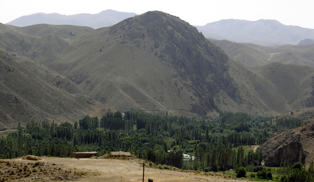
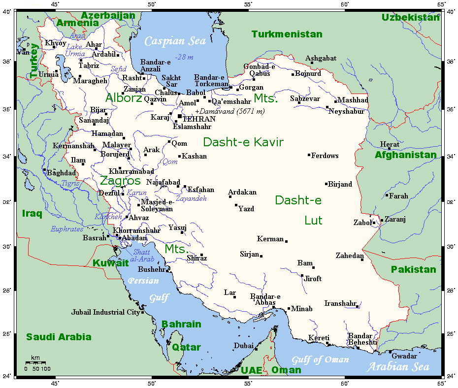
Much of the country is mountainous. Two principal systems dominate: the Zagros Mountains that extend from the northwest toward the southern littoral, and the Alborz (Elburz) range running along the southern edge of the Caspian Sea. The high interior between and beyond these ranges forms the Iranian Plateau, a mix of basins, steppe and salt deserts. The highest summit is Mount Damavand in the Alborz, a prominent volcanic peak rising above 5,600 meters.
Deserts, river basins and coasts
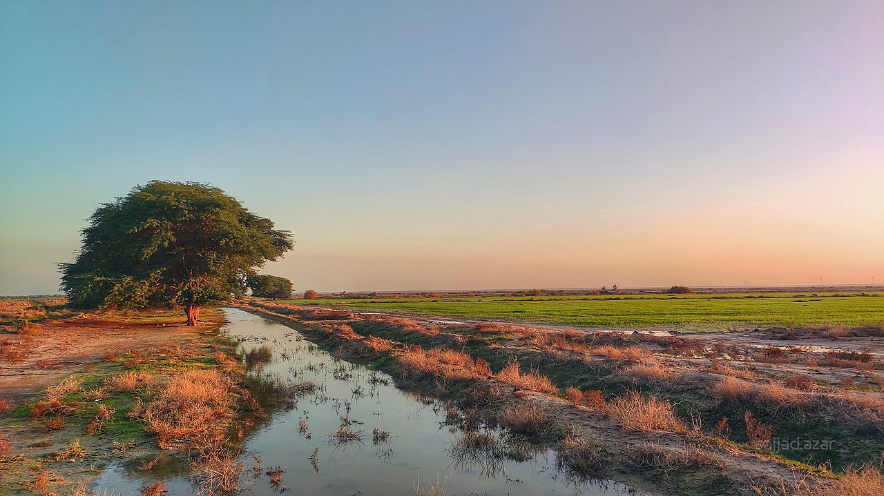
Iran contains large arid regions, most notably the Dasht-e Kavir (Great Salt Desert) and the Lut Desert, which influence settlement patterns and climate. Major rivers are relatively short and seasonal; the Karun is among the country's largest permanent rivers and drains into the Shatt al-Arab (called Arvand Rud in Iran). Iran's northern shore faces the Caspian Sea, with a narrow fertile coastal plain and about 650 kilometers of shoreline. To the south, the country has extensive coasts on the Persian Gulf and the Gulf of Oman, critical for trade and maritime resources.
Climate and ecosystems
Climate varies from humid subtropical along parts of the Caspian coast to Mediterranean pockets, cold mountain conditions at high elevations and arid or semi-arid deserts across the interior. These gradients produce diverse ecosystems: forested slopes in the north, alpine meadows, steppe, and salt flats. Water scarcity and variable rainfall are important environmental constraints that shape agriculture and urban growth.
Borders, regions and tectonics
Iran's land borders connect it to many states: to the northwest with Armenia and Azerbaijan, and further northeast with Turkmenistan. To the west the frontier runs toward Turkey and Iraq, and in the east it meets Afghanistan and Pakistan. The western margin also reaches the Shatt al-Arab waterway. The collision of the Arabian and Eurasian tectonic plates has uplifted Iran's mountains and continues to influence seismic activity.
Regional divisions and human geography
Physically distinct regions—coastal lowlands, the central plateau, the Zagros and Alborz mountains, and eastern deserts—correspond to different economic activities and settlement densities. Fertile plains and river valleys support agriculture, while upland and arid zones are less populated or used for pastoralism. Urban centers and ports along the southern coasts are focal points for industry and international trade. The distribution of resources, water availability and connectivity to neighboring countries all affect Iran's development and regional importance.
- Physical regions: Caspian coast, Alborz, central plateau, Zagros, southern littoral.
- Notable features: Mount Damavand, Dasht-e Kavir, Lut Desert, Karun River, Shatt al-Arab.
- Neighbouring states mentioned: Armenia, Azerbaijan, Turkmenistan, Turkey, Iraq, Afghanistan, Pakistan.
For further reading and maps consult specialized atlases and regional studies available through academic and governmental resources. A clear understanding of Iran's geography links physical form to climate, natural resources and human patterns across the country.
Related articles
Author
AlegsaOnline.com Geography of Iran: topography, climate, coasts and regional features Leandro Alegsa
URL: https://en.alegsaonline.com/art/38131