Geography of Argentina
An overview of Argentina's physical geography: regions, mountains, rivers, climate zones, and human-environment interactions across its long north–south span.
Argentina occupies a large portion of southern South America and stretches nearly 3,700 km from north to south and about 1,400 km at its widest east–west. Its borders touch several countries and the South Atlantic Ocean. The country's physical diversity — from high peaks to broad plains and coastal estuaries — shapes its climate, ecosystems and human settlement patterns.
Image gallery
10 Images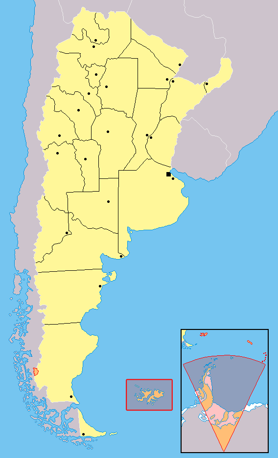


Major regions and landforms
The country is conventionally divided into several broad regions. The fertile central plains known as the Pampas form the agricultural heartland. Far to the south, Patagonia and the islands of Tierra del Fuego present windswept plateaus, fjords and steppe. Along the western frontier rises the Andes, the long mountain range that separates Argentina from Chile and contains the nation's highest elevations. The western province of Mendoza contains Cerro Aconcagua (6,960 m), the tallest peak in the Americas.
Other notable zones include the hot, semi-arid Gran Chaco to the north, the forested and wet lowlands between rivers (Mesopotamia), and the arid Monte in the center-west. The Patagonian ice fields and Andean glaciers feed many downstream lakes and streams and are important freshwater reserves.
Rivers, coasts and hydrology
River systems and coastal features are central to Argentina's geography and economy. The broad Río de la Plata estuary receives several major rivers and opens to the Atlantic. Principal waterways include the Paraná, the Uruguay and the transboundary Paraguay system. Other important rivers are the Bermejo and the Colorado, which drain contrasting provinces and support irrigation, transport and wetlands.
- Paraná River — major navigable artery and part of the Río de la Plata basin.
- Uruguay River — forms part of the eastern border and joins the Paraná estuary.
- Bermejo and Colorado — important regional rivers with seasonal flow.
Coastal plains along the Atlantic host fisheries and ports; estuaries and marshes, such as the Iberá wetlands, are biodiversity hotspots and store carbon and freshwater.
Human geography reflects this physical layout: population and intensive agriculture concentrate in the Pampas and greater Buenos Aires, while Patagonia and mountain areas are sparsely populated but rich in minerals, oil, renewable-energy potential and tourism. Conservation challenges include glacier retreat, deforestation in northern forests and pressure on wetlands. Argentina's geographic variety underpins its ecological value and its economic diversity.
Notable distinctions
Among notable geographic facts are Argentina's extreme climatic contrasts, the continental-scale length of the country, and the presence of Aconcagua as the highest peak in the Western Hemisphere. The interplay of plains, rivers and mountains has shaped national transport routes, agricultural development and regional identities.
Related articles
Author
AlegsaOnline.com Geography of Argentina Leandro Alegsa
URL: https://en.alegsaonline.com/art/38129