
Paraguay River
Major river of central South America, about 2,600 km long, rising in Brazil's Mato Grosso and flowing through Brazil, Bolivia, Paraguay and Argentina to join the Paraná River north of Corrientes.
Overview
The Paraguay River is one of the principal waterways of south-central South America. It rises in the uplands of the Brazilian state of Mato Grosso and flows generally southward for roughly 2,600 kilometres, crossing or forming part of the borders of Brazil, Bolivia, Paraguay and Argentina. Downstream it joins the larger Paraná River north of the Argentine province of Corrientes. The river is the central spine of the Río de la Plata basin's inland network and supports extensive human and natural systems along its course.
Image gallery
10 Images


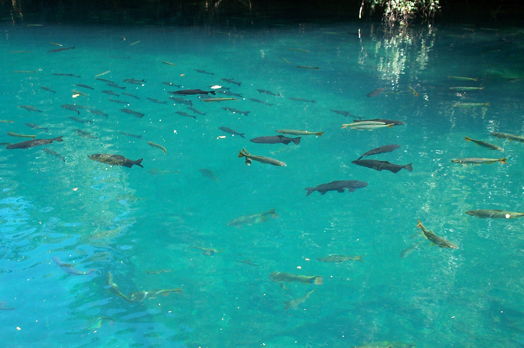


Course and hydrology
The Paraguay flows from the Brazilian highlands through the Pantanal, one of the planet’s largest tropical wetland complexes, and then across the low, seasonally flooded plains of the Gran Chaco. Its discharge is strongly seasonal: heavy rains swell the river and flood adjacent wetlands in the wet season, while long low-water periods shrink channels and expose sandbars. These dynamics create a mosaic of floodplains, oxbow lakes and marshes that are important for water storage and biodiversity.
Tributaries and basin
Major tributaries of the Paraguay include the Pilcomayo and the Bermejo, among others, which bring sediment and seasonal runoff from the Andes and adjacent plains. The river drains a large interior basin that links upland and lowland ecosystems and provides a corridor for the movement of species and people.
Ecology and wetlands
The Paraguay River supports globally significant wetlands, particularly the Pantanal, which sustains rich assemblages of fish, waterbirds and terrestrial fauna. Floodplain forests, marshes and river channels offer breeding and feeding habitat for many species. Wetland functions—flood attenuation, groundwater recharge and nutrient cycling—are essential for regional environmental health but are vulnerable to land-use change and pollution.
Human use, navigation and cities
The river is vital for navigation and commerce, especially for landlocked Paraguay, which relies on river transport to reach downstream markets. Ports and urban centers along its banks, including the capital Asunción, serve as economic hubs for trade, fishing and services. Navigation is practical for barges and smaller vessels, though channel depth and seasonal variability limit larger shipping in some reaches.
History and cultural importance
Indigenous communities long used the Paraguay for travel, fishing and trade. During colonial and national eras the river remained a conduit for exploration, settlement and conflict, influencing the demarcation of borders and the development of riverine cultures. Local festivals, place names and livelihoods often reflect the centrality of the river.
Conservation and threats
Major challenges include deforestation in headwaters, agricultural runoff, infrastructure projects, and changes to flood regimes that can harm wetland ecosystems and fisheries. Conservation initiatives focus on protecting core wetland areas, promoting sustainable land use and coordinating management across national boundaries to maintain the river's ecological functions.
Key facts and notes
- Approximate length: about 2,600 km.
- Countries: Brazil, Bolivia, Paraguay, Argentina.
- Source region: Mato Grosso (Brazil).
- Confluence: joins the Paraná River north of Corrientes.
- Major city on its banks: Asunción.
- Note: the Putumayo is a different river in northwestern South America and is not connected to the Paraguay.
Related articles
Author
AlegsaOnline.com Paraguay River Leandro Alegsa
URL: https://en.alegsaonline.com/art/74522
Sources
- geonames.nga.mil : Río Paraguay
- books.google.com : Management of Transboundary Rivers and Lakes