Colorado River (Argentina)
A river of southern Argentina that rises on the Andes' eastern slopes and flows east across the Patagonian plain to the Atlantic, notable for the Casa de Piedra reservoir and regional irrigation use.
Overview
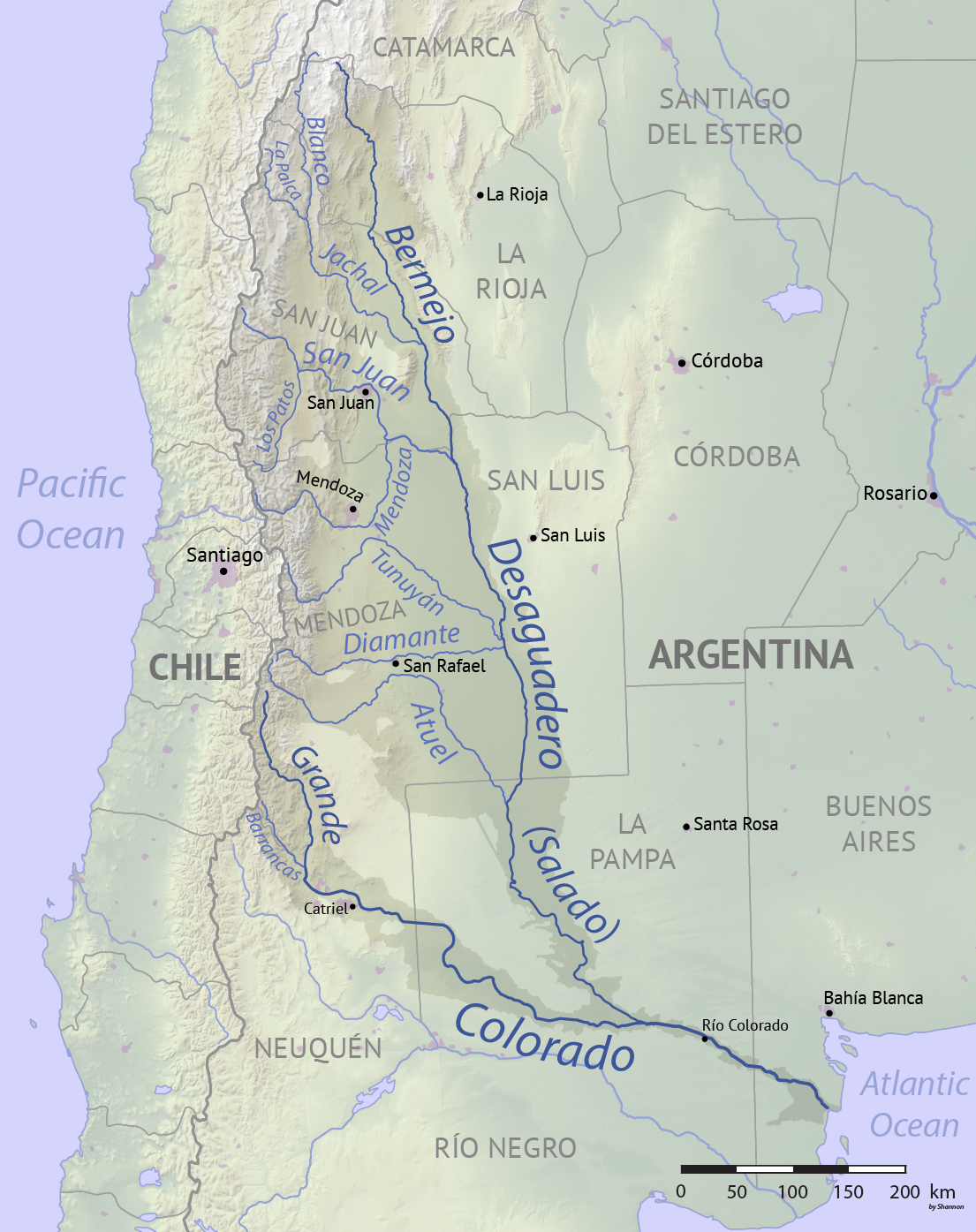
The Colorado River is a prominent watercourse in southern Argentina. It originates on the eastern slopes of the Andes and runs eastward across the Patagonian plateau before reaching the Atlantic Ocean near the coastal area just south of Bahía Blanca. The river and its floodplain cross semi‑arid landscapes and provide an important freshwater corridor in an otherwise dry region.
Image gallery
4 Images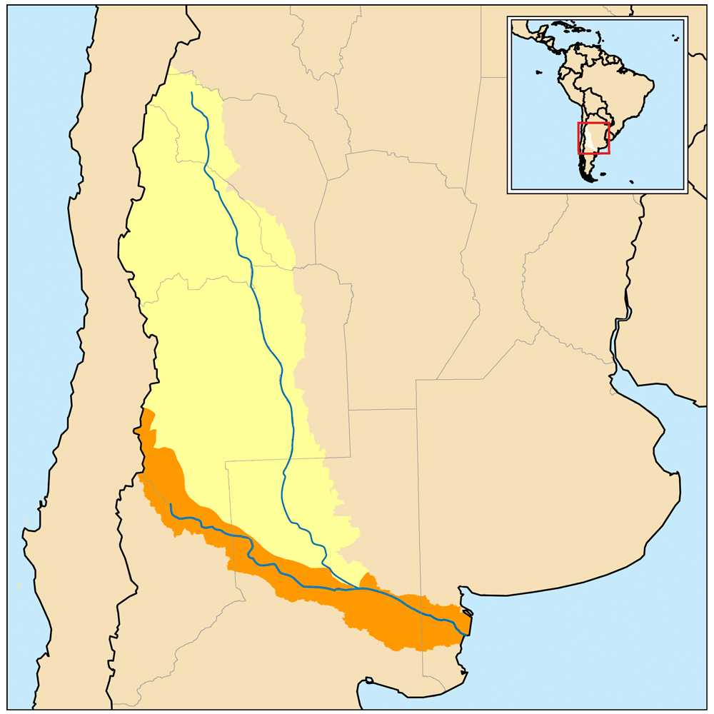


Characteristics
The Colorado displays seasonal variation in flow, with higher discharges fed by mountain snowmelt and lower levels in dry months. Its channel pattern and riparian zone adapt to variations in sediment load and flow rate, producing braided and meandering stretches in different reaches. The river supports patches of vegetation and wetlands that are important for local birds and other wildlife.
Human use and infrastructure
A major human intervention on the river is the Embalse Casa de Piedra dam and reservoir, which stores water for municipal supply, irrigation of nearby agricultural lands, and regulated downstream flows. The reservoir also moderates floods and enables limited hydroelectric generation and recreational activities. Along its course the Colorado supplies towns, ranches and irrigation systems that would otherwise rely on scarce rainfall.
History and regional role
Fed by Andean runoff, the Colorado has long been part of the human and ecological landscape of northern Patagonia. Indigenous peoples used its resources before European settlement altered land use patterns. Over the 20th century, development of irrigation and dam projects increased the river's role in regional agriculture and settlement.
Notable facts and distinctions
- The river empties into the Atlantic south of Bahía Blanca; mapped coordinates for a representative point are given as 36°09′02″S 70°23′47″W (coordinates).
- The name Colorado is shared with other rivers internationally; this river is distinct from the well‑known Colorado River of North America.
- The river traverses semi‑arid Patagonian steppe and contributes disproportionately to local irrigation and habitat diversity in that setting.
For maps, hydrological data and regional planning information, consult local Argentine geographic and water‑management resources and studies that focus on Patagonian rivers and reservoir operations (Atlantic drainage context).
Related articles
Author
AlegsaOnline.com Colorado River (Argentina) Leandro Alegsa
URL: https://en.alegsaonline.com/art/21745