Yenisei River: Siberian waterway from Mongolia to the Kara Sea
Comprehensive overview of the Yenisei River: course, basin, hydrology, human uses, environmental issues and its role in the Arctic and global systems.
The Yenisei is one of the great rivers of northern Eurasia. Rising in the mountains near the Mongolian border, it flows northward across central Siberia and empties into the Kara Sea. The river and its connected upstream system form one of the largest drainage basins that discharge into the Arctic Ocean. By length and flow the Yenisei ranks among the major rivers of the world and plays a central role in Siberia's geography, climate and economy.
Image gallery
10 Images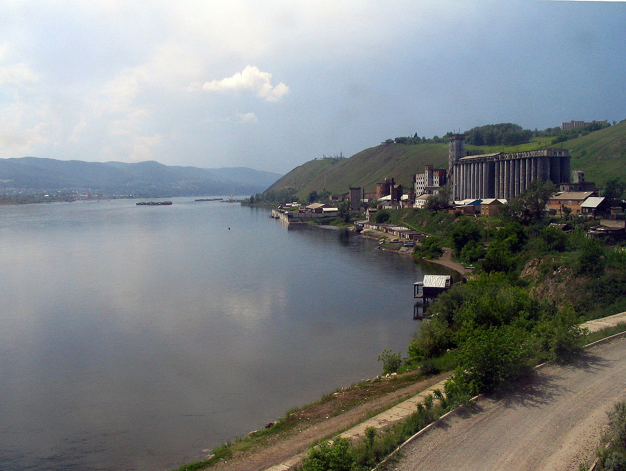


Course, basin and main features
The Yenisei proper combines with the Angara and the Selenga–Ider headwaters to form a continuous river system often cited with a total length of about 5,539 km. Its basin includes Lake Baikal, the world's largest freshwater lake by volume, and collects runoff from an enormous area of taiga and mountain ranges. The river is commonly described in three stretches: the upper reaches with steep valleys and rapids; the middle reach, where major tributaries and reservoirs widen the channel; and the lower course, which crosses tundra and flows into the Kara Sea through a broad estuary.
Hydrology and climate
The Yenisei has a high annual discharge compared with many rivers of similar length. Much of the basin lies in cold continental climate zones: long, frigid winters lead to river ice cover for more than half the year, and a short spring thaw causes dramatic floods. Seasonal ice breakup is an important hydrological event. In recent decades scientists have observed trends toward increased river flow and altered freeze–thaw timing in several Siberian rivers, trends often discussed in the context of a warming Arctic and permafrost changes.
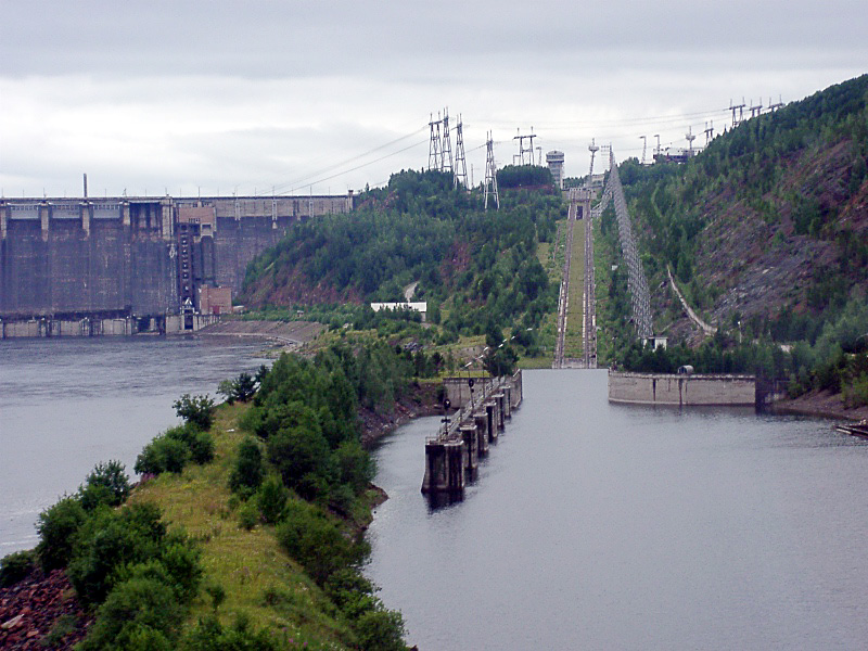
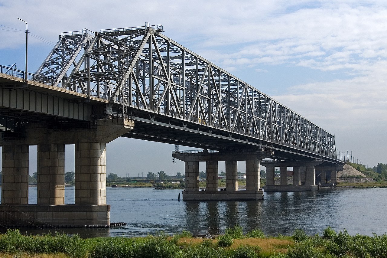
Human use, infrastructure and history
Human activity along the Yenisei is concentrated where hydropower and navigation are feasible. The middle reaches host several large hydroelectric stations and reservoirs that supply electricity to regional industries and cities. Some major Soviet-era projects and associated infrastructure were built during a period when forced-labor camps existed in parts of Siberia. Navigation supports timber, mineral transport and local river traffic in the ice-free season, while remote settlements, forestry and mining are scattered across the basin.
Environmental issues and broader significance
Industrial development, hydroelectric regulation and legacy pollution have affected water quality and ecosystems in parts of the basin. Contamination and altered flow regimes are concerns for fish and wetland habitats. The Yenisei also matters beyond its banks: large freshwater discharge into the Arctic can influence sea-ice formation and local ocean salinity, factors that are linked in research to wider ocean circulation patterns. These connections help explain why changes in Siberian river systems draw attention from ecologists and climate scientists.
Today the Yenisei remains sparsely populated along much of its length but critically important for regional energy, transport and ecology. Ongoing monitoring, improved environmental safeguards and international scientific collaboration are part of efforts to reconcile economic uses with protection of a river system that influences both local peoples and the polar environment.
Further links
- Yenisei River overview
- Siberia: regional context
- Arctic Ocean drainage
- Comparisons with the Mississippi
- Mongolian headwaters
- Kara Sea and estuary
- Drainage and watershed
- Yenisei basin map and data
- Lake Baikal
- Rapids, floods and river hazards
- Soviet-era labour history
- Industrial activity in the basin
- Taiga ecosystems
- Major tributaries
- Tundra and estuarine environment
- Climate change and Siberian rivers
- Arctic salinity and ocean circulation
Related articles
Author
AlegsaOnline.com Yenisei River: Siberian waterway from Mongolia to the Kara Sea Leandro Alegsa
URL: https://en.alegsaonline.com/art/109795