Tigris River: geography, history, ecology and modern challenges
Comprehensive overview of the Tigris River: course from the Taurus Mountains through Turkey, Syria and Iraq; role in Mesopotamia; ecology, uses, dams, marsh restoration and transboundary water issues.
Overview
The Tigris is a major river of the Middle East. Together with the Euphrates it defines the lowland region historically known as Mesopotamia (literally "between the rivers"). The Tigris rises in the highlands of the Taurus range and travels generally southeastward before joining the Euphrates to create the Shatt al-Arab estuary (called the Arvand Rud in Persian), which empties into the Persian Gulf. Its length is commonly reported at about 1,900 kilometres, though measurements can vary with the route taken through floodplains and channels.
Image gallery
10 Images


Course and hydrology
The Tigris originates in the mountainous terrain of eastern Turkey, receives substantial mountain runoff and snowmelt, and flows through parts of Northern Kurdistan and along a short stretch of the border with Syria before traversing northern and central Iraq. It passes or lies near several important urban centres. Seasonal variation is pronounced: spring snowmelt and rains raise flows and historically caused floods across the plains, while late summer flows are lower. Sediment transport from upland reaches built the river's alluvial plains and influenced soil fertility in adjoining lands used for agriculture.
Tributaries and settlements
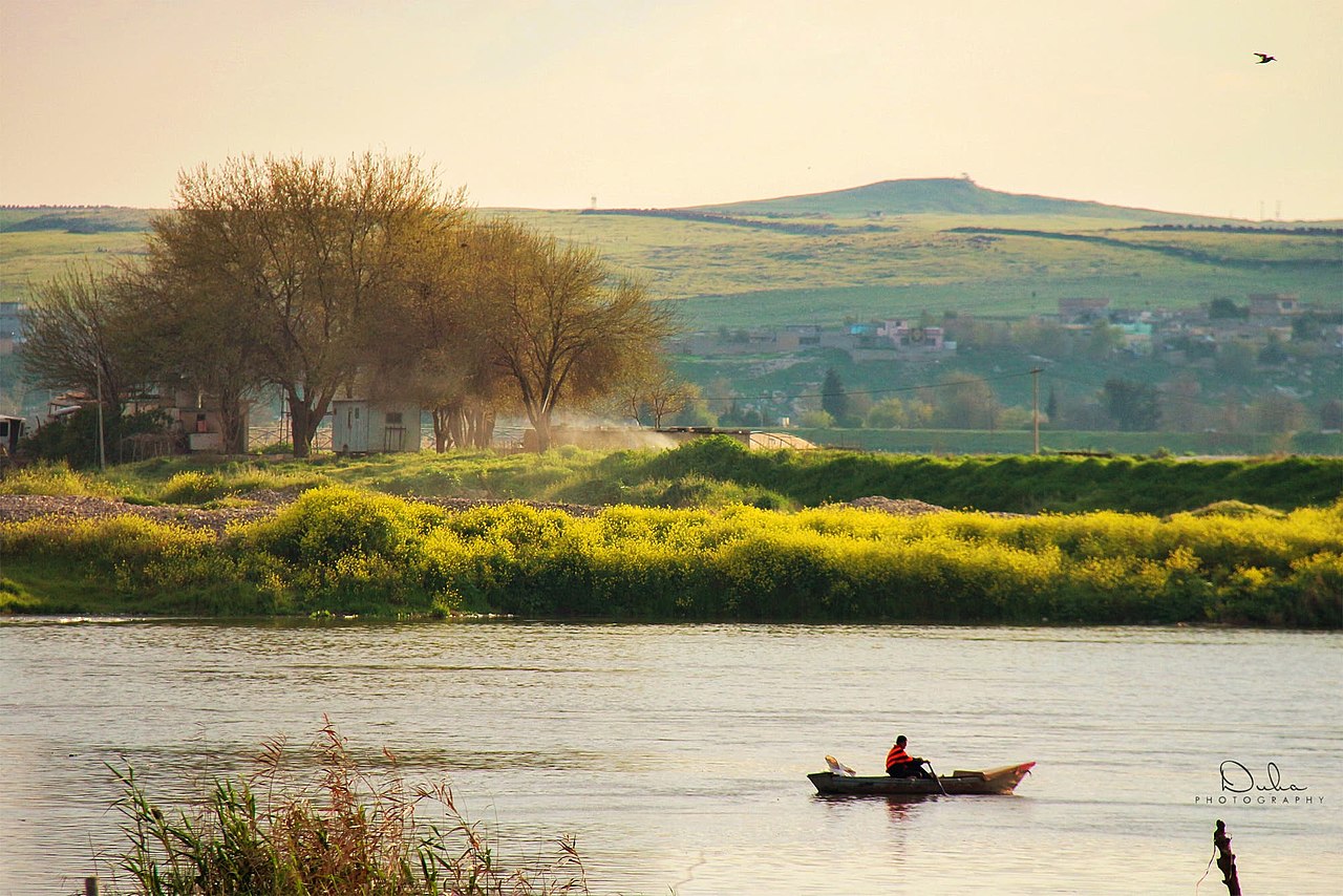
Major tributaries feed the Tigris from the Zagros and Taurus highlands, carrying runoff that sustains irrigation and reservoirs downstream. Principal mountain tributaries include the Great Zab, Little Zab and the Diyala, which contribute significant flow after snowmelt and heavy rains. Important cities on or near the Tigris include Mosul, Tikrit and Baghdad; the river has long provided water for domestic use, irrigation, navigation in places and sites for settlements.
Historical and archaeological significance
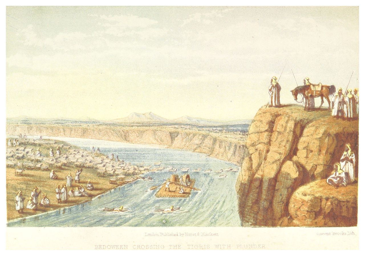
The floodplains and irrigation potential of the Tigris corridor supported some of the earliest settled farming communities, which in turn enabled denser populations, urbanization and the development of complex institutions often associated with early civilizations. Over millennia, people managed water to expand productive agriculture: local farmers diverted water to irrigate crops and produce food beyond subsistence levels. Archaeological sites and ancient cities along the river provide a long record of human-environment interaction in the region.
Modern uses and infrastructure
Today the Tigris supplies municipal water, irrigated agriculture and hydroelectric power in places. Dams, weirs and reservoirs located in upstream countries and within Iraq have altered the timing and quantity of flows, changed sediment delivery and affected downstream wetlands. Navigation is possible on stretches of the river, though seasonal changes, infrastructure and political conditions affect commercial traffic. Urban growth and industry have increased demand for water and placed new pressures on water quality.
Ecology, marshes and conservation
The lower Tigris feeds the Mesopotamian Marshes, once among the largest wetlands in the Middle East. These marshes supported rich biodiversity and traditional marshland communities for generations. Extensive drainage and diversion in the late 20th century severely reduced wetland extent, with major social and ecological consequences. Subsequent restoration efforts and changes in management have allowed partial recovery in places, but conservationists stress the need for integrated basin planning, pollution control and sustainable water allocations to protect remaining habitats and livelihoods.
Transboundary issues and future challenges
The Tigris basin is shared by multiple countries, and competing water uses, recent dam construction, upstream water storage and the effects of climate variability make transboundary cooperation essential. Issues include securing reliable water supplies for agriculture and cities, reducing pollution, managing flood risk, balancing hydropower production with ecological flows and supporting restoration of wetlands. International and regional agreements, scientific monitoring and cooperative basin governance are commonly cited as pathways to reduce conflict and enhance water security.
Notable points
- The Tigris is the easterly river that, with the Euphrates, defines Mesopotamia.
- Its confluence with the Euphrates forms the Shatt al-Arab/Arvand Rud waterway to the Persian Gulf.
- Management of the river involves environmental, social and geopolitical dimensions across national borders.
For further context and topic-specific resources, consult subject guides and regional studies on hydrology, archaeology and water management. Related entries and resources include: river, Middle East, Mesopotamia, Euphrates, source, Turkey, Northern Kurdistan, Syria, Iraq, length, Arvand Rud, Persian Gulf, development, civilization, farmers, water, crops, food.
Related articles
Author
AlegsaOnline.com Tigris River: geography, history, ecology and modern challenges Leandro Alegsa
URL: https://en.alegsaonline.com/art/99846