Taurus Mountains (Toros) — major mountain range of southern Turkey
Comprehensive overview of the Taurus Mountains (Toros): geography, geology, major peaks, rivers, karst landscapes, archaeology, ecology, and human use in southern Turkey.
For the Taurus Mountains on the Moon see Montes Taurus, and for the small Mount Taurus near Cold Spring, New York, see Bull Hill. The Taurus Mountains, known in Turkish as Toros Dağları, are a major mountain range in southern Turkey. The range forms a broad arc that separates the Mediterranean coastal zone from the central Anatolian plateau and contains the headwaters of rivers that flow into Mesopotamia.
Image gallery
10 Images


Geography and principal summits
The Taurus stretches from the area of Lake Eğirdir in the west toward the upper courses of the great Mesopotamian rivers in the east. It comprises several subranges, including the Aladağlar and the Bolkar Dağları. The Aladağlar massif includes Demirkazık, commonly cited at about 3,756 metres, one of the highest and most frequented peaks for climbers. Another notable summit is Medetsiz in the Bolkar section. From the northern slopes originate tributaries that feed the Euphrates and the Tigris, which descend toward Syria and Iraq respectively, while numerous smaller rivers drain south to the Mediterranean such as the Manavgat.
Geology and karstic landscapes
Much of the range consists of sedimentary rocks, with extensive deposits of limestone that have been subject to long-term erosion and chemical dissolution. These processes have produced classic karstic features: sinkholes, poljes, disappearing streams, underground rivers and dramatic cliffs. The Taurus hosts numerous waterfalls and extensive cave systems, some of the largest and deepest in the region, which are of interest to speleologists and tourists alike.
Hydrology, agriculture and human use
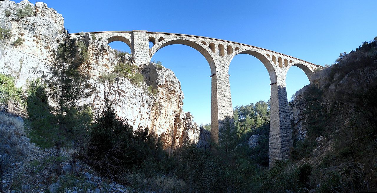
The range is hydrologically vital for southern Anatolia and the Fertile Crescent beyond. Snowpack and seasonal precipitation feed perennial streams that support irrigation, drinking water and hydroelectric projects downstream. The mountains provide pasture and seasonal grazing areas, forest products, and valleys where villages practice mixed agriculture. Historic routes and modern roads cross the range through passes such as the Cilician Gates, linking interior Anatolia with the Mediterranean coast and facilitating commerce and cultural exchange.
History and archaeology
The Taurus has a long record of human use. Bronze Age activity is recorded at sites such as Kestel where archaeologists identified early evidence for copper‑tin metallurgy and the exploitation of tin-bearing resources—an important aspect of early Bronze Age metalworking and the acquisition of tin through local mining and trade networks. The range has witnessed successive civilizations and remains rich in archaeological landscapes.
Ecology, recreation and conservation
Altitudinal variation produces diverse habitats: Mediterranean shrub and pine forests on southern slopes, mixed deciduous and coniferous woodlands at mid elevations, and montane grasslands and alpine communities higher up. These support a variety of Anatolian flora and fauna, including species of conservation concern and several endemics. The Taurus attracts hikers, climbers, naturalists and cavers. Parts of the range are subject to protection measures and national parks aimed at conserving rare habitats, geological features and cultural landscapes.
Further study and practical information
- For lunar nomenclature and the unrelated Montes Taurus see Montes Taurus (Moon).
- Local guides, geological surveys and conservation organizations provide up-to-date information on trails, access and protected areas; academic studies address the range's tectonic evolution, karst systems and hydrology (erosion and karst research).
The Taurus Mountains remain a defining physical, ecological and cultural feature of southern Anatolia: geologically complex, hydrologically important and historically significant for the peoples and ecosystems of the eastern Mediterranean and Near East.
Questions and answers
Q: What are the Taurus Mountains?
A: The Taurus Mountains are a mountain range in Turkey.
Q: How do the Euphrates and Tigris rivers relate to the Taurus Mountains?
A: The Euphrates and Tigris rivers descend from the Taurus Mountains into Syria and Iraq.
Q: What is the Manavgat River and where does it come from?
A: The Manavgat River comes from the southern slopes of the Taurus Mountains.
Q: What is the highest point in the Taurus Mountains?
A: The highest point in the Taurus Mountains is the Demirkazık summit in the Aladağlar region, which stands at 3,756 meters (12,322 ft.)
Q: How does the Taurus Mountains divide Turkey?
A: The Taurus Mountains divide the Mediterranean region of southern Turkey from the central plateau.
Q: What kind of landscapes are formed by limestone erosion in the Taurus Mountains?
A: Limestone erosion in the Taurus Mountains has formed karstic landscapes of waterfalls, underground rivers, and the largest caves in Asia.
Q: What is the historical significance of Kestel in the Taurus Mountains?
A: Kestel is a Bronze Age archaeological site in the Taurus Mountains where early evidence of tin mining was found.
Related articles
Author
AlegsaOnline.com Taurus Mountains (Toros) — major mountain range of southern Turkey Leandro Alegsa
URL: https://en.alegsaonline.com/art/96545
Sources
- ipcri.org : "Manavgat River Water as a Limited but Alternative Water Resource for Domestic Use in Middle East"