Simpson Desert: geography, environment, history and access
A comprehensive overview of the Simpson Desert: its landscape, climate, ecology, exploration history, access routes and notable sites across three Australian jurisdictions.
Overview
The Simpson Desert is an extensive arid region in central Australia that spans parts of several jurisdictions. It lies primarily within the Northern Territory but extends into northern South Australia and western Queensland, all within the continent of Australia. Covering roughly 176,500 square kilometres, the desert is one of the largest dune fields in the world. Annual rainfall is typically sparse — commonly under 150 millimetres — and water is usually absent from the surface except after episodic rains that produce ephemeral rivers and lakes.
Image gallery
10 Images


Landscape and climate
The terrain is dominated by long parallel linear sand ridges made of bright red sand; these red sand dunes are a defining feature. Individual dunes can rise to around 40 m in height (about 44 yd) and may extend for many kilometres; some dune systems are reported to run for nearly 190 km with gaps between crests on the order of 1 km. Temperatures show extreme seasonal and diurnal variation: summer conditions can exceed 50 °C in heatwaves, while clear winter nights may drop below freezing.
History and exploration
Indigenous peoples occupied and travelled through this region for millennia, adapting to its seasonal and patchy resources. European contact and exploration came later. Early exploratory ventures into the dunefields included expeditions led by figures such as Charles Sturt and parties active around 1845. Subsequent journeys and survey work in the latter 19th century involved explorers and surveyors whose campaigns are dated in historical accounts (for example around 1883 and an 1879 survey by A. Poeppel). The desert was named in honour of A. A. Simpson, a prominent supporter of geographical work in 1929. The first recorded European to traverse the core of the desert on foot and camel was Ted Colson in 1936, although other European parties had explored its margins earlier.
Ecology and conservation
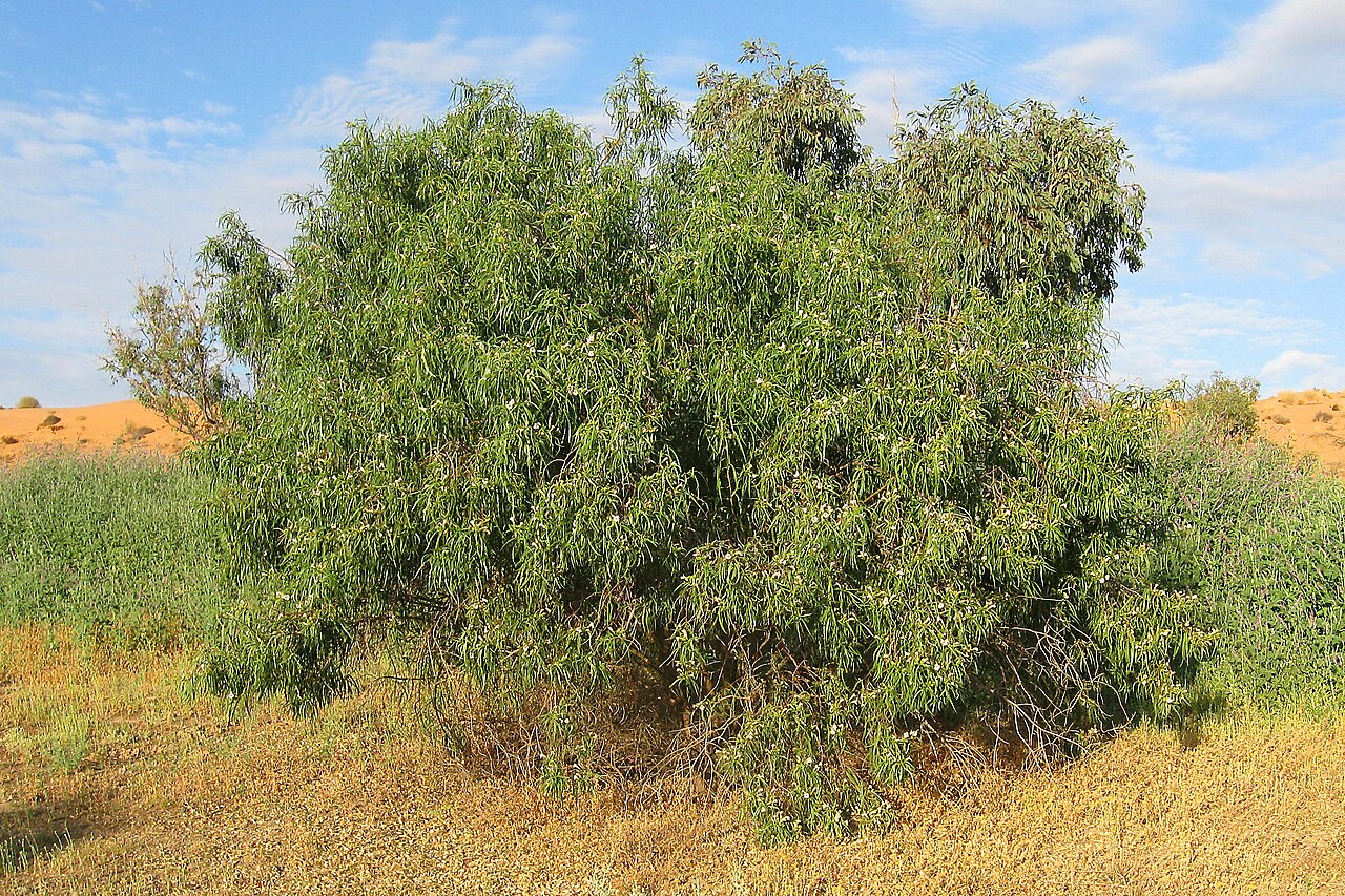
Despite its harsh climate, the Simpson Desert supports specialised plant and animal communities. Spinifex grasses, drought-tolerant shrubs and seasonal wildflowers stabilise parts of the dunes when conditions permit, and fauna includes reptiles, small marsupials, macropods and nomadic birds that exploit temporary wetlands. Groundwater-fed features such as artesian springs create important refuges and biodiversity hotspots; one well-known example is Dalhousie Springs, which draws on the wider Great Artesian Basin. Much of the area is managed through a mix of national parks, conservation reserves and Indigenous lands to protect its ecological and cultural values.
Access, tracks and human use
There are no sealed highways across the Simpson Desert; travel inside it is generally along unpaved tracks created for exploration, pastoral work and mineral surveys during the mid-20th century. Historic routes include tracks known to four-wheel-drive travellers such as the French Line, the Rig Road and the QAA Line. These routes require robust preparation: properly equipped four-wheel drive vehicles, substantial fuel and water supplies, and expertise in remote navigation are essential. Outlying service towns and crossing points include communities such as Oodnadatta and facilities like the Mount Dare hotel and its adjacent shop. Rail links once paralleled the desert edge but changed before 1980, altering transport patterns in the region.
Notable places and significance
- Dalhousie Springs: artesian springs and historic bathing pools that sustain life in an otherwise dry landscape.
- Purnie Bore wetlands: seasonal wetlands formed after rains that attract birds and grazing animals.
- Approdinna Attora Knoll: a prominent dune or knoll used as a landmark by travellers and researchers.
- Poeppel Corner: the survey point marking where Queensland, South Australia and the Northern Territory meet; a destination for visitors and an important surveying reference.
Today the Simpson Desert is valued for its striking geomorphology, its role as habitat for specialised species, its cultural significance to Indigenous Australians, and as a challenge destination for experienced remote-area travellers. Management balances conservation, cultural heritage, tourism and pastoral interests while recognising the risks of travel and the fragility of arid environments.
Related articles
Author
AlegsaOnline.com Simpson Desert: geography, environment, history and access Leandro Alegsa
URL: https://en.alegsaonline.com/art/90576
Sources
- ga.gov.au : ga.gov.au