Pampas — South America's fertile temperate lowlands
The Pampas are extensive temperate grasslands covering parts of Argentina, Uruguay and southern Brazil, known for fertile mollisol soils, intensive agriculture, ranching and distinctive grassland biodiversity.
Overview
The Pampas are a wide expanse of largely flat to gently rolling temperate grasslands in southeastern South America. The name derives from a Quechua word meaning "plain" and the region covers roughly 750,000 square kilometres. It spans parts of Argentina, Uruguay and the southernmost state of Brazil. The Pampas include major population centres, most notably the Buenos Aires metropolitan area, and account for a large share of the region's agricultural production. For general geographic orientation the term is sometimes used alongside other lowlands of the continent.
Image gallery
10 Images


Geography and climate
The plain forms a broad band between the Atlantic coast and the drier interior. Climate varies from humid temperate in the east to more semiarid conditions toward the interior and west. Summers are generally warm and winters cool; average rainfall decreases from east to west and shows seasonal variation. The region's climate classification is conventionally discussed in regional climate summaries.
Soils, vegetation and ecology
The Pampas are dominated by grasses and other herbaceous plants rather than closed-canopy forest. Deep, dark mollisol-type soils developed under long-term grassland vegetation and are among the most fertile in the world, supporting extensive cultivation. Natural and human-caused wildfires and grazing historically limited the establishment of woody plants, so grasslands remain the dominant cover while trees are mostly confined to river corridors and shelterbelts planted for agriculture.
Fauna and notable species
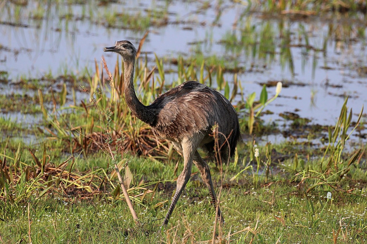
Characteristic animals of the Pampas include large flightless birds such as the rhea, small ungulates like the pampas deer, several species of armadillo, the pampas fox and various opossums and tinamous. Many species have adapted to open habitats; some persist in remnant natural patches and protected areas, while others have declined with habitat conversion.
Human history, culture and settlement
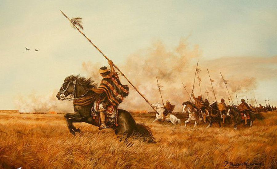
Indigenous peoples inhabited the Pampas for millennia with hunting, gathering and local agriculture. From the colonial period onward, European settlement and the expansion of cattle ranching and crop agriculture transformed the landscape. The region is culturally associated with the gaucho, a mounted ranch worker, and with urban centres such as Buenos Aires that concentrate population, industry and services.
Economy and land use
The Pampas are an agricultural heartland: grazing for beef cattle and the cultivation of cereal and oilseed crops dominate land use. Fertile soils and relatively flat terrain have encouraged mechanised farming and export-oriented production. Urban growth, irrigation development and infrastructure have all shaped modern land-use patterns.
Conservation and challenges
Major conservation concerns include loss and fragmentation of native grasslands to cropland and pasture, soil erosion, changes in fire regimes, invasive plant species and the impacts of intensive agriculture on water and biodiversity. Conservation efforts focus on protecting remaining grassland fragments, promoting sustainable grazing and crop practices and restoring native vegetation where feasible.
Research, significance and further reading
The Pampas are often compared with other temperate grassland regions worldwide for their ecological processes and agricultural importance. For maps and additional geographic context see a representative central coordinate such as 35°S 62°W. Country-level resources for Argentina, Uruguay and Brazil provide further detail on land use and policy. General summaries of the region's climate are available through links to climate overviews and to multidisciplinary discussions of lowland ecosystems.
- Area: approximately 750,000 km² across three countries.
- Vegetation: predominantly temperate grasslands and steppe.
- Economic role: major production zone for beef and cereal/oilseed crops.
- Conservation: focus on grassland remnants, soil health and sustainable land management.
Related articles
Author
AlegsaOnline.com Pampas — South America's fertile temperate lowlands Leandro Alegsa
URL: https://en.alegsaonline.com/art/74280