Lake Mackay (Wilkinkarra) — Salt lake of central Australia
Large ephemeral salt lake on the Western Australia–Northern Territory border, culturally central to the Pintupi (Wilkinkarra) and notable for its salt crusts, desert setting and occasional inundation.
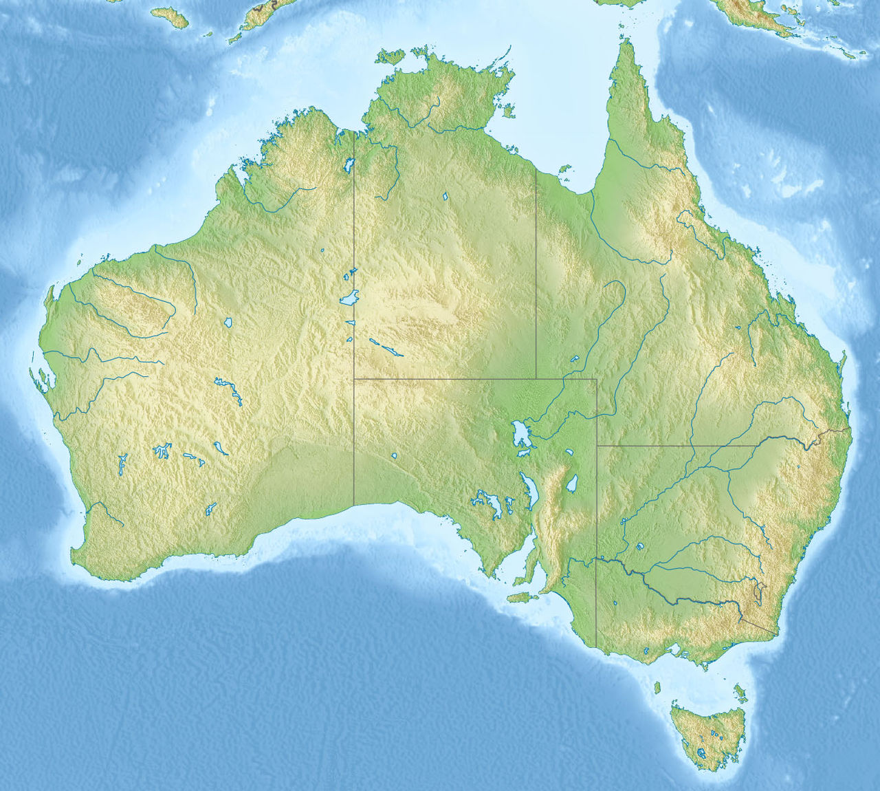
Lake Mackay, known in the Pintupi language as Wilkinkarra, is a wide, mostly dry salt lake that straddles the border between Western Australia and the Northern Territory. It is one of a network of salt pans and playa lakes in central Australia and is often cited as the country's second‑largest lake by surface area. Much of the surrounding landscape is arid desert; the lake lies between the Great Sandy, Tanami and Gibson Deserts and typically presents as a white, cracked crust of salt and minerals when dry.
Image gallery
3 Images

Geography and hydrology
Lake Mackay occupies an endorheic basin with no persistent outflow. Rainfall in the region is low and irregular, so standing water appears only after unusually heavy showers. When water does accumulate, it forms shallow, short‑lived pools that evaporate quickly in the hot, dry climate. Evaporation leaves layers of salt and other evaporite minerals on the surface, producing distinctive patterns of salt flats, polygonal crusts and translucent salt pans. The lake’s outline is irregular; measures derived from aerial mapping indicate an extent of several thousand square kilometres and linear dimensions on the order of a hundred kilometres across.
Ecology and climate
The broader area is typical of central Australian deserts: sparse shrublands, tussock grasses and hardy plants adapted to low water availability. The saline flats themselves support only specialized, salt‑tolerant microorganisms and occasional halophytic plants at the margins. In wet years, Lake Mackay becomes important habitat for nomadic waterbirds and other fauna that exploit ephemeral wetlands. These boom periods are brief but ecologically significant, as birds and other animals congregate to breed and feed before the waters evaporate.
Cultural significance
For Indigenous peoples of the region, particularly the Pintupi and related groups, Lake Mackay is a central place in the landscape of law, story and ancestry. Known as Wilkinkarra in Pintupi, the lake and its shores are linked to Dreaming narratives, sacred tracks and songlines that connect sites across the desert. Traditional owners regard the lake as part of their ancestral country; many stories explain natural features and events at the lake, including accounts that describe its formation and the actions of ancestral beings in the ancestral past.
History, access and human use
The lake is named after Donald George Mackay, an early European explorer who reported the feature to broader Australian audiences. European activity near Lake Mackay has generally been limited because of its remoteness and harsh environment; pastoral, scientific and occasional mineral surveys have taken place, but there is no permanent settlement on the lake itself. Access is often by track, air or long overland journeys, and parts of the lakeshore remain culturally sensitive and are managed in consultation with local Aboriginal communities.
Notable facts and references
- Local name: Wilkinkarra (Pintupi name).
- Type: large ephemeral salt lake (salt lake).
- Region: central Australia (regional context).
- State/territory: Western Australia and Northern Territory (Western Australia, Northern Territory).
- Surrounding deserts: Great Sandy (Great Sandy Desert), Tanami (Tanami Desert), Gibson (Gibson Desert).
- Area and size: among the largest inland salt lakes in Australia (size reference).
- Processes: high evaporation and evaporite deposition (evaporation, salt formation).
- Cultural law and stories: Pintupi and neighbouring groups (cultural minerals and sites, Dreaming narratives).
- Traditional ownership: Pintupi ancestral lands (ancestral lands).
- Mythic accounts: formation stories, including fire motifs (mythology, bushfire story).
Further information and maps are available through regional surveys and Indigenous cultural repositories. Because Lake Mackay is remote and parts of its shoreline are culturally sensitive, respectful consultation with local communities is important before visiting or conducting research.
Related articles
Author
AlegsaOnline.com Lake Mackay (Wilkinkarra) — Salt lake of central Australia Leandro Alegsa
URL: https://en.alegsaonline.com/art/55520
Sources
- ga.gov.au : "Australian Geoscience - Largest Waterbodies"
- aiatsis.gov.au : Abstract
- tools.wmflabs.org : 22°30′S 128°35′E / 22.500°S 128.583°E / -22.500; 128.583