
Colorado River: geography, uses, management and environmental challenges
Major river of the U.S. Southwest and northwestern Mexico that supplies water, irrigation and hydropower, carved iconic landscapes, and faces overuse, legal disputes and ecological decline.
Overview
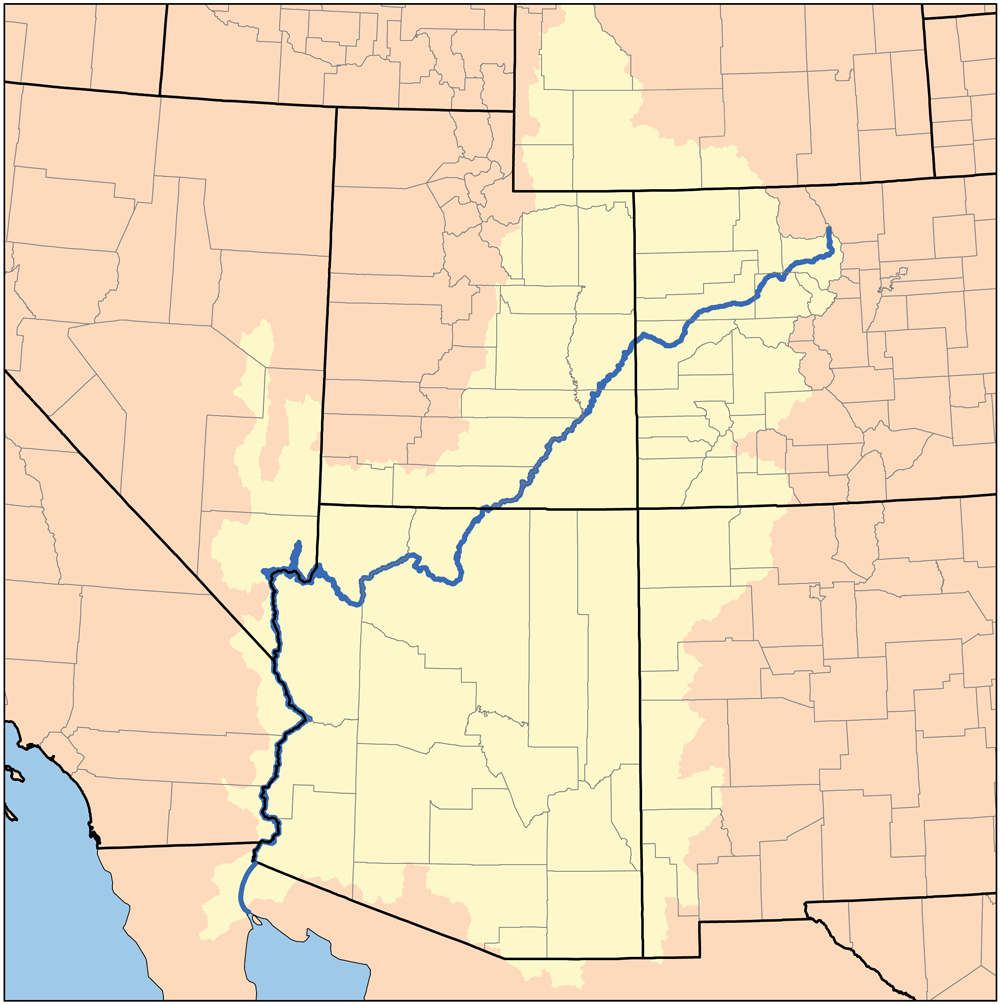
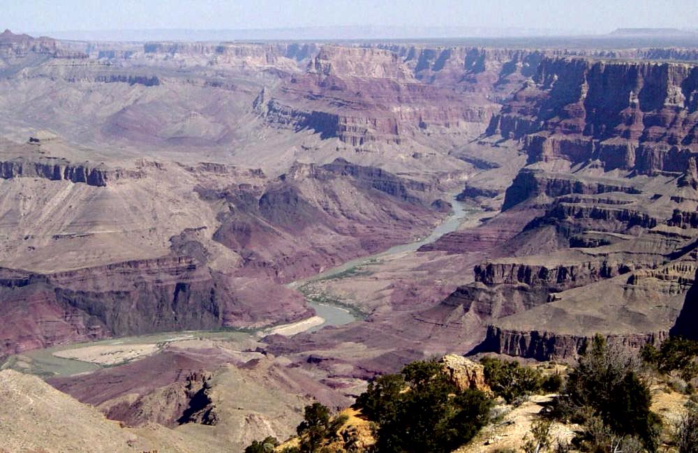
The Colorado River is one of the principal rivers of the western United States and northwestern Mexico. Rising in the Rocky Mountains, it follows a complex route through high mountain valleys, deep canyons and arid plains before historically emptying into the Gulf of California. The river has shaped iconic landscapes, supports cities and farms, and has long been central to the region’s economy and ecology. It is commonly cited as about 1,450 miles (roughly 2,330 km) long and drains a large basin spanning several U.S. states and part of Mexico.
Image gallery
10 Images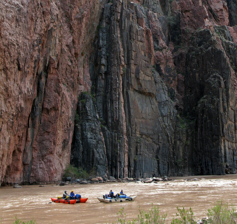





Physical characteristics and course
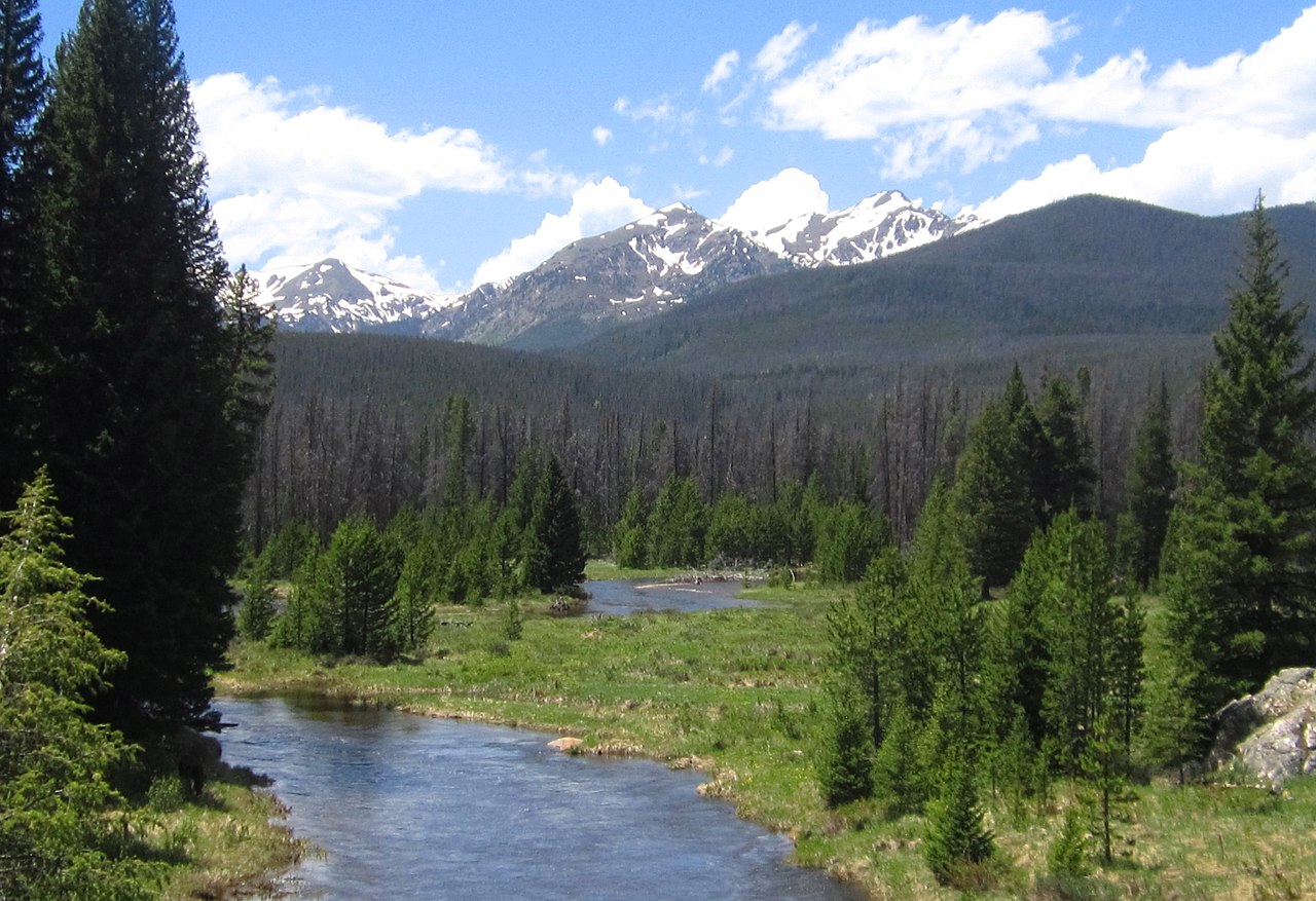
The Colorado’s headwaters begin on the western slope of the Rocky Mountains. Snowmelt and mountain precipitation feed the river and its tributaries, and flows vary seasonally and between wet and dry years. Major tributaries include the Green River, the Gunnison River, the San Juan River and the Little Colorado River. The river historically flowed to the Gulf of California, but extensive upstream diversions and reservoir storage have altered downstream reaches.
Major dams, reservoirs and infrastructure
Over the 20th century a network of large dams and reservoirs was constructed for water storage, hydropower and flood control. Prominent structures include Glen Canyon Dam, which created Lake Powell, and Hoover Dam, which impounds Lake Mead. Other important works include Parker and Davis dams and canals and large diversion projects such as the Central Arizona Project. These facilities support municipal water supply, irrigation and electricity but have also changed the river’s timing, temperature and sediment transport.
Human uses and allocations
The Colorado supplies water to agriculture, growing cities and tribal communities across an arid region. The 1922 Colorado River Compact and subsequent agreements divided water supply among upper- and lower-basin states and established international obligations with Mexico. Water from the river irrigates large agricultural areas such as the Imperial Valley, and urban systems in cities such as Los Angeles, Phoenix and Las Vegas rely heavily on Colorado River deliveries or imported flows derived from it.
Environmental impacts and the delta
Intensive use and regulation have reduced flows to the lower river and its delta, causing loss of wetland and riparian habitat, declines in native fish and other species, and changes to salinity and sediment regimes. For much of the late 20th century the river did not regularly reach the sea. In recent years binational efforts, agreements and targeted environmental releases have sought to restore parts of the delta and improve habitat, though major ecological challenges persist.
Legal, social and tribal issues
The basin is governed by a complex body of interstate, federal, tribal and international law. Native American tribes hold substantial water rights in the basin; many are the subject of negotiated settlements and ongoing claims. Competing demands—municipal supply, agriculture, recreation and ecosystem protection—have led to intensive management, drought contingency planning and calls for more flexible allocation and conservation measures.
Climate change, drought and management responses
Long-term warming and periods of drought have reduced average flows and lowered reservoir levels, prompting reductions in deliveries, conservation programs and changes to operating rules for dams. Management responses include demand reduction, water banking, conjunctive use of surface and groundwater, updated allocation frameworks, and cooperative agreements among states and with Mexico to share shortages and support environmental flows.
Recreation and cultural significance
The Colorado River and its canyons are important for recreation—rafting, fishing, hiking and tourism at sites such as the Grand Canyon and Hoover Dam attract millions of visitors. The river also has deep cultural and spiritual importance for numerous Indigenous peoples whose histories and livelihoods are intertwined with its waters.
Further reading and resources
- General geography and description of the Colorado River
- Impacts and role in the southwestern United States
- Cross‑border issues with northwestern Mexico
- Origins and Rocky Mountain headwaters
- Historical flow to the Gulf of California and the delta
- Irrigation and agricultural uses fed by the river
- Environmental consequences of lower flows and desiccation
- Colorado state reaches, tributaries and watershed details
- Utah’s canyon country and protected areas along the river
- Arizona’s water projects and uses
- Nevada’s connections to the river system
- California’s allocation and use of Colorado River water
- Variability in flow, floods and long‑term trends
Related articles
Author
AlegsaOnline.com Colorado River: geography, uses, management and environmental challenges Leandro Alegsa
URL: https://en.alegsaonline.com/art/21746
Sources
- pubs.usgs.gov : Largest Rivers in the United States