
Rocky Mountains (The Rockies) — major mountain range of North America
The Rocky Mountains are a vast north–south chain of peaks and valleys spanning western Canada and the western United States, notable for their geology, ecology, water resources and recreation.
The Rocky Mountains, commonly called the Rockies, form one of the longest mountain chains in North America. This mountain system extends along a broad corridor of the western continent, running through much of the western United States and western Canada. The range reaches from the northwestern provinces such as British Columbia in Canada, sweeping southward to highlands and alpine zones as far as New Mexico in the southwestern United States. Overall the Rockies stretch for more than three thousand miles and contain a wide variety of landscapes, from forested foothills and deep river valleys to jagged summits and alpine tundra.
Image gallery
10 Images

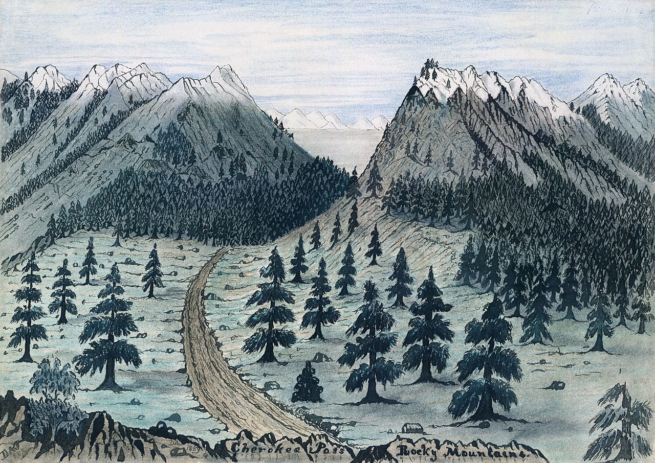


Geology and formation
The modern Rocky Mountains were primarily uplifted during a mountain-building event known as the Laramide orogeny, which occurred roughly between fifty-five and eighty million years ago. This uplift was driven by plate tectonic forces after the breakup of ancient supercontinents such as Pangaea, and by the interaction of smaller oceanic and continental plates. In particular, shallow-angle subduction beneath the North American plate generated stresses far inland, producing a broad band of uplift rather than a narrow volcanic arc. Subsequent tectonic activity, faulting and repeated cycles of glaciation carved the uplifted rocks into the sharp ridges and deep valleys visible today.
Rock types and deeper history
The rocks that compose the Rockies are far older than the mountains themselves. A crystalline core of ancient Precambrian basement underlies many ranges; this basement is commonly made up of highly deformed and recrystallized metamorphic rock. In some areas sequences of very old sedimentary deposits — for example units laid down about 1.7 billion years ago — sit above or beside this core. Overlying those deep formations, extensive layers of marine sediment such as limestone and dolomite were added during intervals when parts of western North America were covered by shallow seas.
Ancestral ranges, erosion and reworking
Long before the Laramide uplift, the region experienced older episodes of mountain building. In the area that is now the southern Rockies, especially around modern Colorado, an earlier pulse of deformation produced what are sometimes called the ancestral Rocky Mountains. That earlier mountain building during the late Paleozoic — particularly the Pennsylvanian period — uplifted older crustal blocks and exposed deep rocks at the surface. Those ancestral ranges eroded throughout the late Paleozoic and into the early Mesozoic, depositing thick packages of sedimentary rock across adjacent basins. Later tectonic pulses and glaciers then reworked these deposits, producing the complex stratigraphy and topography seen today.
Ecology, human use and notable facts
The Rockies are ecologically diverse: lower slopes support mixed coniferous forests and grasslands, montane zones are dominated by spruce, fir and pine, and the highest elevations host sparse alpine vegetation and permanent snowfields. Glaciers and snowpack within the range are critical freshwater reservoirs, feeding major river systems that supply agriculture, cities and hydroelectric power downstream. Humans value the Rockies for timber, mineral resources, and extensive outdoor recreation such as hiking, skiing and climbing. Several national parks and protected areas preserve representative landscapes and wildlife, while higher summits such as Mount Elbert (the range's highest peak) are popular objectives for mountaineers.
- Key roles: water source, biodiversity hotspot, recreation and mineral resources.
- Geological significance: clear record of ancient seas, mountain-building episodes and glaciation.
- Conservation: a patchwork of protected parks, wilderness areas and managed lands supports both preservation and public access.
Because the Rockies span large latitudinal and elevational gradients, local climate, geology and biology can change rapidly across short distances: a journey of a few dozen miles can pass through multiple ecosystems and rock types. That variety, together with a long and complex geological history, makes the Rocky Mountains an enduring subject of study for geologists, ecologists and historians, and an enduring attraction for millions of visitors each year.
Questions and answers
Q: What is the longest mountain range in North America?
A: The Rocky Mountains, which stretch from the northernmost part of British Columbia to New Mexico, are the longest mountain range in North America.
Q: How tall is Mt. Elbert?
A: Mt. Elbert is 14,433 ft (4,401m) tall and is the highest point in the Rocky Mountains.
Q: When were the Rocky Mountains formed?
A: The Rocky Mountains were formed between 55 million and 80 million years ago during a period called Laramide orogeny.
Q: What caused the formation of the Rockies?
A: The formation of the Rockies was caused by tectonic plates sliding under North America as Pangaea broke up and shallow subduction resulting in a broad belt of mountains running down western North America.
Q: What type of rock makes up most of the Rockies?
A: Most of the rocks that make up the Rockies are Precambrian metamorphic rock that forms part of North American's core continent.
Q: How old are some of these rocks?
A: Some rocks found in this area date back to 1.7 billion years ago during what's known as Precambrian sedimentary argillite period.
Q: How did erosion shape these mountains over time?
A: Erosion by glaciers has helped sculpted these mountains into dramatic peaks and valleys over time since their initial formation about 300 million years ago during Pennsylvanian period.
Related articles
Author
AlegsaOnline.com Rocky Mountains (The Rockies) — major mountain range of North America Leandro Alegsa
URL: https://en.alegsaonline.com/art/83611
Sources
- bengadd.com : "Geology of the Rocky Mountains and Columbias"