Čemernica — mountain in Central Bosnia and Herzegovina
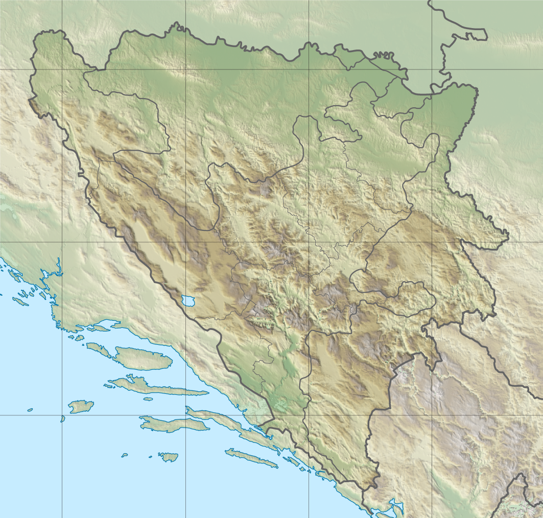
Čemernica is a 1,338 m mountain in central Bosnia, near Banja Luka. It overlooks the Vrbas river basin and links several municipalities; foothills include Bočac and its hydroelectric reservoir.
Čemernica is a prominent mountain rising to about 1,338 metres in central Bosnia. The peak and its slopes occupy a transitional zone between low river valleys and higher karst ranges of the wider Dinaric region. Its name appears in local maps and guides as a distinct landscape feature in the interior of Central Bosnia and the state of Bosnia and Herzegovina. For general reference it is commonly described simply as a mountain in this part of the country.
Image gallery
2 Images
Geography and hydrology
Čemernica stands above the basin of the Vrbas River and is closely associated with the network of tributaries that drain the surrounding highlands. The larger watercourse of the Vrbas shapes much of the local relief, while the Ugar and Vrbanja rivers join the system in nearby valleys. The mountain forms a watershed and contributes to catchments that feed lowland towns and agricultural plains.
Settlements and administrative links
Administratively and culturally, Čemernica connects several municipalities. It lies to the south of the regional centre Banja Luka and stretches toward the territories of Mrkonjić Grad and Skender Vakuf. At its feet are smaller towns and villages such as Kotor Varoš to the northeast and the settlement of Bočac to the west. The Bočac area includes a notable hydroelectric installation and its reservoir, often cited in discussions of local water management and power: Bočac hydroelectric reservoir.
Landscape, ecology and uses
The slopes of Čemernica are covered by mixed forests and montane meadows typical of central Bosnian highlands. The terrain supports forestry, seasonal grazing and small-scale hunting; it is also used recreationally by hikers and nature observers. While not among the tallest peaks of the Dinaric system, the mountain offers accessible terrain for local outdoor activities and contributes to regional biodiversity and watershed protection.
History and significance
Historically the area around Čemernica has been important for local communities who depended on its pastures, timber and freshwater resources. Its location at the junction of several municipalities gives it ongoing administrative and economic significance. The mountain is referenced in regional planning and tourism materials as a recognizable landmark south of Banja Luka and within central Bosnian geography.
- Elevation: approximately 1,338 m
- Nearby urban centre: Banja Luka
- Key rivers: Vrbas, Ugar, Vrbanja
- Notable site: Bočac reservoir
Questions and answers
Q: What is Čemernica?
A: Čemernica is a mountain located in Central Bosnia, in Bosnia and Herzegovina, with an altitude of 1,338 metres (4,390 ft).
Q: What surrounds Čemernica?
A: Čemernica is surrounded by the river Vrbas and its confluences of the Ugar and Vrbanja rivers.
Q: Where is Čemernica located in relation to Banja Luka?
A: Čemernica is located south of Banja Luka.
Q: What municipalities does Čemernica connect?
A: Čemernica connects the municipalities of Mrkonjić Grad, Skender Vakuf, and Banja Luka.
Q: Which cities are located at the foothills of Čemernica?
A: The cities of Kotor Varoš (northeast) and Skender Vakuf (east) are located at the foothills of Čemernica.
Q: Which hydroelectric power plant reservoir is located near the village of Bočac?
A: The hydroelectric power plant reservoir of "Bočac" is located near the village of Bočac, which is west of Čemernica.
Q: What is the altitude of Čemernica?
A: The altitude of Čemernica is 1,338 metres (4,390 ft).
Related articles
Author
AlegsaOnline.com Čemernica — mountain in Central Bosnia and Herzegovina Leandro Alegsa
URL: https://en.alegsaonline.com/art/17939