
Kotor Varoš — town and municipality in Republika Srpska, Bosnia and Herzegovina
Kotor Varoš is a town and municipality in Republika Srpska, Bosnia and Herzegovina. Located on the Vrbanja river, it had 22,001 inhabitants in 2013 and covers 564.26 km² at about 220 m elevation.

Overview
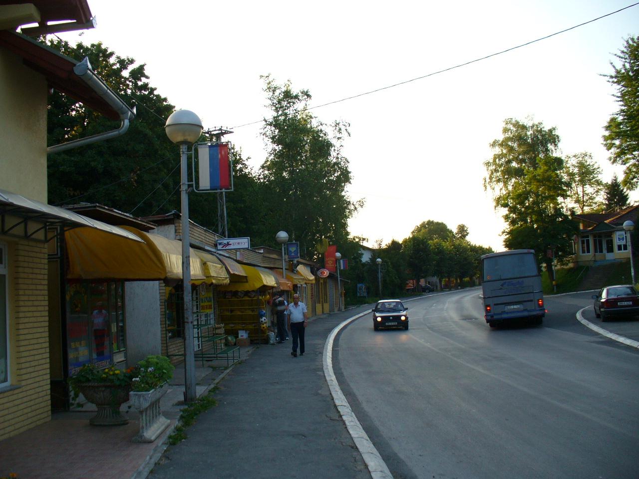
Kotor Varoš (Котор Варош) is a municipal centre in the entity of Republika Srpska within the state of Bosnia and Herzegovina. The municipality lies along the Vrbanja River and serves as a local administrative, commercial and transport node for surrounding villages. According to the 2013 census the population of the municipality numbered 22,001. The town sits at roughly 220 metres above sea level and the municipality covers about 564.26 square kilometres.
Image gallery
9 Images




Geography and environment
Kotor Varoš occupies a transitional zone between river valleys and the lower slopes of the Dinaric mountain system. Forests, pastoral land and small agricultural plots dominate the landscape; the Vrbanja River and its tributaries shape the local drainage. The town is connected by regional roads to larger centres such as Banja Luka, which lies approximately 30 kilometres away, and it is similarly distanced from Šiprage in the upper Vrbanja valley.
History and development
The area around Kotor Varoš has a long human presence, with settlement traces reaching back to medieval times. Over centuries it came under various administrations, including Ottoman and Austro-Hungarian rule, which influenced local landholding, architecture and infrastructure. Like much of Bosnia and Herzegovina, the municipality experienced demographic and economic shifts during the 20th century and was affected by the conflicts of the 1990s; since then, local efforts have focused on reconstruction and re-establishing services.
Demographics, economy and services
The municipal population is distributed between the urban centre and numerous villages. Economic activity is mixed: agriculture and forestry remain important in rural zones, while the town provides public services, small-scale manufacturing and retail. Many residents also commute to larger towns for employment. Municipal administration oversees education, basic health services and local roads, and seeks to promote modest economic diversification.
Sights and practical information
Kotor Varoš and its surroundings feature examples of regional cultural heritage, including historic religious buildings and traditional rural architecture, as well as natural attractions along river corridors and wooded slopes. Points of interest often include local churches, memorials and scenic riverbanks. Visitors typically reach the town by road from Banja Luka or other regional centres; the locality's climate is temperate continental with warm summers and cool winters.
- Key facts: population (2013): 22,001; area: 564.26 km²; elevation: ~220 m.
- Access: regional road links to Banja Luka and nearby settlements.
- Landscape: Vrbanja river valley, forests, agricultural land.

For further local and administrative information consult municipal resources or regional guides that cover the Vrbanja valley and the Banja Luka area.
Questions and answers
Q: What is Kotor Varoš?
A: Kotor Varoš is a town and municipality in Republika Srpska, Bosnia and Herzegovina.
Q: How many people lived in Kotor Varoš in 2013?
A: In 2013, 22,001 people lived in Kotor Varoš.
Q: What is the elevation of Kotor Varoš?
A: The elevation of Kotor Varoš is 220 metres (720 feet).
Q: What is the total area of the Kotor Varoš municipality?
A: The total municipality area is 564.26 square kilometres (217.86 square miles).
Q: On which river is Kotor Varoš located?
A: Kotor Varoš is located on the Vrbanja river, on its southeastern upstream line of the Banja Luka.
Q: How far is Kotor Varoš from Banja Luka?
A: Kotor Varoš is about 30 kilometres (19 miles) from Banja Luka.
Q: How far is Kotor Varoš from Šiprage?
A: Kotor Varoš is also 30 kilometres (19 miles) from Šiprage.
Related articles
Author
AlegsaOnline.com Kotor Varoš — town and municipality in Republika Srpska, Bosnia and Herzegovina Leandro Alegsa
URL: https://en.alegsaonline.com/art/54357
Sources
- distancesfrom.com : distancesfrom.com
- udaljenosti.com : udaljenosti.com
- pod2.stat.gov.rs : pod2.stat.gov.rs/ObjavljenePublikacije/G1953/Pdf/G19534001.pdf