
Low pressure area (meteorology)
An explanation of low pressure areas: what they are, how they form, their structure and weather effects, common cyclone types, and important distinctions for forecasting and climate.
Overview
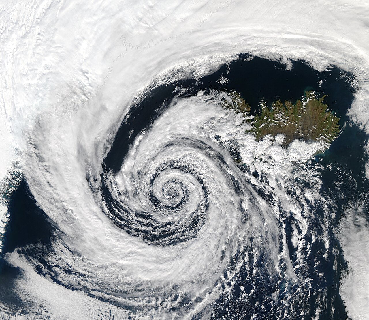
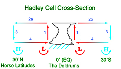
A low pressure area, often shortened to "low", is a region in the atmosphere where the pressure is lower than in the surrounding air. The concept is central to meteorology. Low pressure areas are associated with rising air, cloud formation and precipitation because air flowing toward the center is forced upward and cools, allowing moisture to condense. Forecasters mark lows on weather maps to indicate unsettled weather and possible storms.
Image gallery
6 Images


Characteristics and structure
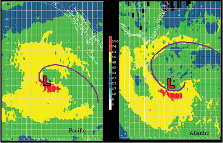
At the surface a low pressure center is often circular or elongated and surrounded by a gradient of higher pressure. The vertical structure can vary: some lows are shallow features confined near the surface while others extend through a deep column of the troposphere. The pressure minimum itself is typically accompanied by converging winds at low levels, ascending motion, and often a frontal system where contrasting air masses meet.
Formation and movement
Lows commonly form where air converges or where temperature contrasts in the atmosphere create instability. Mechanisms include surface heating, upper-level disturbances, and interactions along weather fronts. The Earth's rotation modifies the flow: the Coriolis effect causes rotating wind patterns—counterclockwise around lows in the northern hemisphere and clockwise around lows in the southern hemisphere. Steering by higher-altitude winds and changes in pressure patterns control the path and speed of a low.
Types and common examples
- Tropical cyclones — organized, warm-core storms that develop over warm ocean waters and are listed here as an extreme low type: see tropical cyclones.
- Extratropical cyclones — lows that derive energy from temperature contrasts and frontal zones; often called mid-latitude storms: see extratropical cyclones.
- Subtropical cyclones — hybrid systems with some characteristics of both tropical and extratropical lows: see subtropical cyclones.
Impacts and importance
Low pressure areas drive much of the planet's stormy weather: they can bring rain, snow, strong winds and severe thunderstorms depending on the season and location. Marine navigation, aviation and water management all depend on predicting lows. In climate studies, changes in the frequency, intensity or tracks of low pressure systems have major implications for regional precipitation and storm risk.
Notable distinctions and forecasting notes
Terminology varies by region—"low-pressure cell" or simply "cyclone" are common synonyms—but the physical ideas are consistent. Forecasters use surface observations, satellites, and numerical models to locate lows and predict their evolution. While a low generally signals rising air and cloudy conditions, the specific outcome depends on moisture availability, upper-air patterns and interactions with other systems.
For introductory references and detailed guides consult textbooks and operational forecasts provided by national meteorological services and specialized resources such as meteorology portals and scientific summaries (atmospheric pressure background).
Related articles
Author
AlegsaOnline.com Low pressure area (meteorology) Leandro Alegsa
URL: https://en.alegsaonline.com/art/59581