
Grampian Mountains (Scotland)
Major mountain range in the Scottish Highlands, running between the Highland Boundary Fault and the Great Glen; includes Ben Nevis, the Cairngorms, varied geology and important natural areas.
Overview
The Grampian Mountains, commonly called the Grampians, form one of the principal mountain systems of Scotland. Stretching across much of the central and north-eastern Highlands, they occupy a large share of the country's land area and contain many of Scotland's highest peaks. The range is a defining element of the Scottish landscape, tying together deep glens, plateaus and corries that attract walkers, climbers and scientists.
Image gallery
4 Images


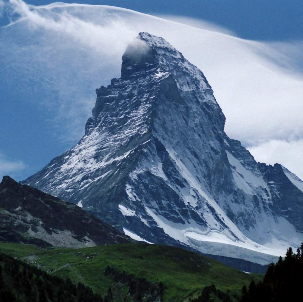
Geography and extent
The Grampians run broadly southwest to northeast between two major geological features: the Highland Boundary Fault to the south and the Great Glen to the north. Their footprint includes several well known sub-regions such as the Cairngorms and the hills of mountain ranges around Scotland. Major centres of high ground include the massif around Ben Nevis and the elevated plateaus of the Cairngorms. The Grampians adjoin other Scottish uplands: the Northwest Highlands to the northwest and the Southern Uplands farther south.
Geology and landforms
The rocks of the Grampians are diverse. Large bodies of granite form plateaus and tors in some areas, while metamorphic rocks, including gneiss, marble, schists and quartzite, contribute to the range's varied appearance. Much of the present relief was sculpted by repeated glaciations: glaciers deepened valleys, created U-shaped glens, and left corries and moraines that today define classic mountain scenery.
Notable peaks and landscapes
The Grampians contain Scotland's highest summits. Ben Nevis, rising to the highest point in the British Isles, is a focal peak for mountaineers and visitors. Nearby peaks such as Ben Macdui and others in the Cairngorms form extensive high plateaus and deep ravines. Typical landforms include steep ridges, peat-covered plateaus and granite tors that are popular with hillwalkers and climbers.
Ecology, use and conservation
The range supports a mix of montane and sub-montane habitats: heather moorland, upland grasslands, bogs and remnant Caledonian pinewoods occur at different elevations. These habitats host specialized flora and fauna adapted to cold, windy conditions. The area is important for recreation (hiking, skiing, climbing) and for cultural traditions such as crofting and hill farming. Parts of the Grampians fall within designated conservation areas and national parks to protect wildlife, watersheds and scenic qualities.
History and significance
Geologically ancient, the Grampians record a long earth history of mountain-building and erosion. Human presence has shaped the hills for millennia: prehistoric sites, droving routes and later sporting estates all reflect successive uses of upland resources. Today the mountains are valued for their natural heritage, outdoor recreation and as a focus for conservation and scientific study.
Quick facts
- Location: central and north-eastern Scottish Highlands.
- Highest peak: Ben Nevis (highest in Britain).
- Major rock types: granite, gneiss, schists, quartzite, marble.
- Boundaries: Highland Boundary Fault (south) and Great Glen (north).
- Notable areas: Cairngorms and the Lochaber hills.
For further introduction and practical information on visiting and studying the range, consult regional guides and conservation organisations represented online and by local visitor centres. The Grampian Mountains remain central to Scotland's physical geography and to the experiences of those who live in or travel through the Highlands.
mountain ranges | Scotland | Scottish Highlands | Highland Boundary Fault | Great Glen | Cairngorms | Ben Nevis | granite | gneiss | marble | schists | quartzite | Northwest Highlands
Related articles
Author
AlegsaOnline.com Grampian Mountains (Scotland) Leandro Alegsa
URL: https://en.alegsaonline.com/art/40138