
Highland Boundary Fault: Scotland's geological divide
A concise account of the Highland Boundary Fault — its course across Scotland, geological history, landscape effects, and importance to science and people.
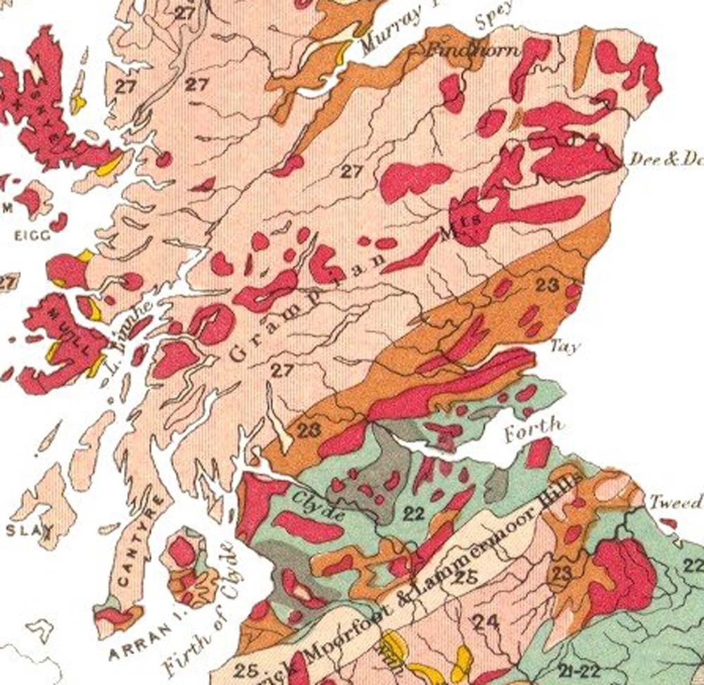
The Highland Boundary Fault is a prominent geological break that runs diagonally across Scotland. Its line stretches from the islands and coast of the west — near Arran and Helensburgh — across to Stonehaven on the east coast. The fault is most easily recognised as the boundary between two contrasting regions: the mountainous, older Highlands to the north and the generally lower-lying Lowlands to the south. The change is visible in both topography and bedrock, and the line of the fault has long served as a convenient geographic reference in maps and descriptions of Scotland.
Image gallery
8 Images


Geological history and origins
The fault formed during large-scale plate interactions associated with the closure of the ancient Iapetus Ocean and the mountain-building episode known as the Caledonian orogeny. This was a prolonged interval of collision and deformation in the Paleozoic, a process tied into the assembly of the supercontinent Pangaea and the later reconfiguration of continents. Tectonic activity affecting the fault occurred over a broad span of time, beginning in the mid-Ordovician and extending into the mid-Devonian periods. Early motion involved substantial vertical displacement as the central lowland basin dropped as a rift; at later stages the movement included significant horizontal or shearing components, reflecting complex plate tectonic forces.
Structure, rocks and landscape
On the north side of the fault, older metamorphic and igneous rocks typical of the Highlands are exposed, whereas the south side tends to feature younger sedimentary strata and flatter topography typical of the Midland Valley. The fault zone includes fractured and altered rocks, minor subsidiary faults and a zone of crushed material where rock types contrast. In places the displacement along the boundary allowed the central valley to subside by as much as several kilometres during active rifting; estimates of maximum vertical movement commonly cited in geological literature run to about 4,000 metres. Over time, differential erosion of differing rock types has emphasised the contrast in relief along the fault line.
- Position: runs diagonally across Scotland from the Firth of Clyde to the North Sea.
- Tectonic role: part of a set of major Caledonian structures including the Great Glen and Southern Uplands faults.
- Rock contrast: marks the boundary between ancient metamorphic highland rocks and younger lowland sediments.
- Geomorphology: controls drainage patterns and local topography.
- Historic movement: initial rifting and subsidence followed by later horizontal shear and folding.
Importance to science and people
Geologists study the fault to understand mountain building, ancient plate collisions and basin formation. The fault also influences human activity: its line affects river courses, soil types and the siting of roads and settlements, and its scenic junction between moorland and lowland makes it notable for tourism and field study. The Highland Boundary Fault is one of three principal structural boundaries that divide Scotland geologically — the Great Glen Fault lies to the north and the Southern Uplands Fault to the south — while further tectonic sutures lie even farther south across Britain. Together these features record the closure of the Iapetus Ocean and the long history of Scotland's crustal assembly.
Notable facts and references
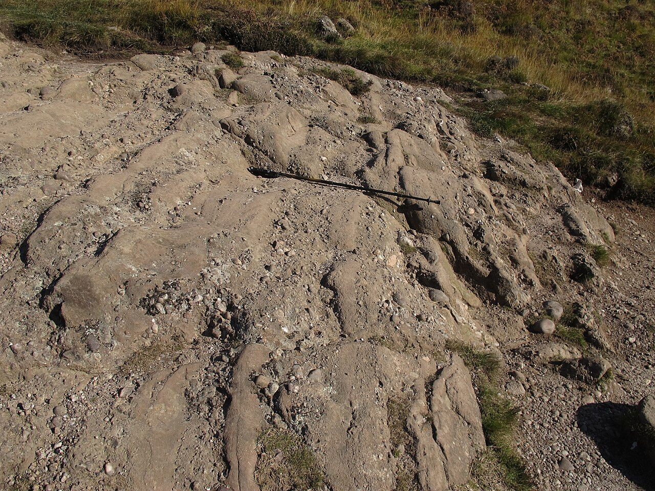
Although not currently seismically active in the sense of producing frequent large earthquakes, the fault zone remains an important marker of past tectonic stress and crustal weakness. Field exposures, coastal outcrops and roadside sections along its trace provide accessible locations for education and research. For maps and more detailed guides, consult regional geological surveys and local field guides that trace the fault's line from west to east and explain its relationship to other major structures such as the Highlands, the Lowlands and the residues of ancient oceans described in palaeogeographic reconstructions of the Pangaea era.
Further reading and specific datasets are available from national geological organizations and academic publications (see regional guides and survey maps linked by national bodies: fault overview, national context, or specialist treatments of the Caledonian structures). For introductions aimed at visitors, local museums and interpretive boards at coastal outcrops provide concise accounts and walking routes that follow parts of the fault trace.
Questions and answers
Q: What is the Highland Boundary Fault?
A: The Highland Boundary Fault is a geological fault that crosses Scotland diagonally from Arran and Helensburgh on the west coast to Stonehaven in the east. It separates two distinctly different regions, the Highlands from the Lowlands.
Q: What are the other three great faults across Scotland?
A: The other three great faults across Scotland are the Great Glen Fault in the north, the Southern Uplands Fault in the south, and further south just over the border with England, is the Iapetus Suture where the palaeo-Iapetus Ocean closed.
Q: When did this plate tectonic collision take place?
A: This plate tectonic collision took place from Mid Ordovician to Mid Devonian periods (520 to 400 million years ago), during closure of Iapetus Ocean.
Q: How much vertical movement was caused by this fault?
A: This fault allowed for a major rift by up to 4000 metres and there was subsequently vertical movement.
Q: What replaced this vertical movement?
A: This vertical movement was later replaced by a horizontal shear.
Q: What forms southern boundary for Central Lowlands?
A: A complementary fault, known as Southern Uplands Fault forms southern boundary for Central Lowlands.
Q: What event caused formation of global super-continent Pangaea?
A:The formation of global super-continent Pangaea was caused by two great tectonic events which took place millions of years ago.
Related articles
Author
AlegsaOnline.com Highland Boundary Fault: Scotland's geological divide Leandro Alegsa
URL: https://en.alegsaonline.com/art/44141
Sources
- scottishgeology.com : "Loch Lomond–Highland Boundary Fault"
- scottish-places.info : "Highland Boundary Fault"