
West Frisian Islands (Waddeneilanden)
Chain of islands, shoals and tidal flats off the northern Netherlands: major inhabited islands, small uninhabited islets and dynamic sandbanks within the Wadden Sea.
Overview
The West Frisian Islands form the western portion of the Frisian Islands arc in the North Sea. In Dutch they are called Waddeneilanden and in West Frisian Waadeilannen. Situated off the northern coast of the Netherlands, they lie within the shallow tidal zone known as the Wadden Sea, a landscape shaped by tides, currents and storms (North Sea).
Image gallery
10 Images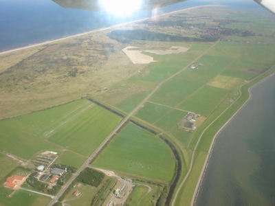




Major islands and islets
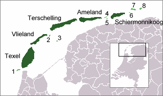
The archipelago includes a small number of permanently inhabited islands and several uninhabited islets and sandbanks. The five larger inhabited islands are:
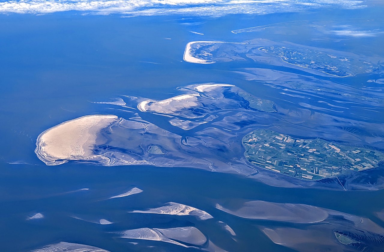
There are also several small, mostly uninhabited islands and former islands, including Rottumeroog, Rottumerplaat, Noorderhaaks (Razende Bol), Griend and Zuiderduintjes. Numerous transient sandbanks and tidal shoals—often listed under the general term sandbars—appear and disappear or move with the currents; examples are Engelsmanplaat, Richel and Simonszand.
Natural environment and importance
The islands and the surrounding tidal flats form one of the largest intertidal systems in the world. Mudflats, salt marshes and dune systems provide crucial habitat for migratory birds, seals and diverse benthic life. The Wadden Sea area has been recognized for its ecological value and is protected under national and international designations; conservation and seasonal access restrictions are common to balance tourism with habitat protection.
Administration, settlement and access
Most of the islands fall within the province of Friesland, while the two western islands Noorderhaaks and Texel are administered by the province of North Holland. The eastern islets such as Rottumerplaat, Rottumeroog and Zuiderduintjes are part of Groningen. Larger islands have year-round communities with ferries, limited car access and infrastructure; smaller islets are generally closed to casual visitors to protect wildlife.
History, culture and present-day uses
Human use of the islands has ranged from fishing, salt harvesting and small-scale agriculture to maritime navigation and tourism. Historically, communities developed distinct maritime and Frisian cultural traits. Today the islands are popular for nature tourism, birdwatching, cycling and mudflat walking (wadlopen). Management focuses on sustaining traditional livelihoods while conserving sensitive ecosystems.
Notable facts and distinctions
The West Frisian Islands are part of a larger chain that continues eastward across the Wadden Sea and westward toward the North Sea coast. Their dynamic nature—shorelines and sandbanks shift over decades—means maps and access routes change over time. For more detailed information on individual islands and protections, see regional guides and conservation authorities linked here: Dutch names and resources, West Frisian language resources, and local island pages such as Ameland, Schiermonnikoog, Terschelling, Texel, and Vlieland.
Related articles
Author
AlegsaOnline.com West Frisian Islands (Waddeneilanden) Leandro Alegsa
URL: https://en.alegsaonline.com/art/107374