
Noorderhaaks (Razende Bol) — shifting sand island off Texel
Noorderhaaks, or Razende Bol, is an uninhabited, mobile sand island southwest of Texel in North Holland, Netherlands. Part of the West Frisian Islands and the Wadden Sea, it is protected for nature and research.
Overview
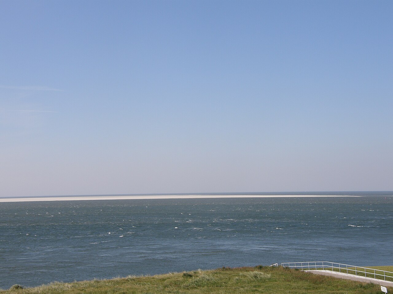
Noorderhaaks, locally known as Razende Bol, is a small uninhabited island in the province of North Holland in the Netherlands. Administratively it belongs to the municipality of Texel and is considered part of the chain of barrier islands called the West Frisian Islands. Its area is commonly given as about 4 km², but its outline and surface area change frequently because it consists of mobile sand and shifting shoals.
Image gallery
4 Images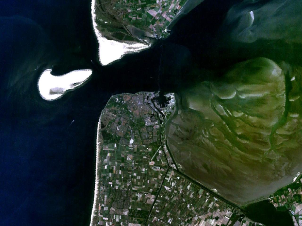


Geography and formation
Noorderhaaks formed from sedimentation and the redistribution of sand by tides, waves and coastal currents typical of the Wadden Sea region. As a barrier island and emergent sandbank it migrates and alters shape seasonally and over decades. It lies southwest of the larger island of Texel and is often described as the most westerly feature of that local island group.
Ecology and wildlife
Because it is largely free from permanent human habitation and disturbance, Noorderhaaks provides resting, moulting and breeding habitat for many species of shorebirds and sea birds. Seals also use the island and nearby sandbanks as haul-out and pupping sites; both harbour and grey seals are characteristic of the Wadden coastal system. The island and surrounding intertidal flats are ecologically connected to the wider Wadden Sea, an internationally important area for migratory birds and marine life.
Protection, management and research
Noorderhaaks lies within the protected Wadden Sea area and benefits from national and international conservation measures that limit disturbance to wildlife, particularly during breeding and pupping seasons. The broader Wadden Sea is recognized for its ecological significance and is managed under frameworks that include Natura 2000 designations and World Heritage recognition. Occasional scientific surveys and monitoring projects focus on coastal dynamics, sediment transport and biodiversity; researchers study the island as a natural laboratory for barrier island processes.
Human use, access and hazards
There are no permanent settlements on Noorderhaaks. Access is usually restricted or regulated to protect fragile habitats; authorised visits are typically limited to guided excursions or scientific work. The island and its surrounding shoals can be a hazard to navigation when sandbanks shift, and local authorities monitor changes to issue navigational warnings when necessary. Management responsibilities are shared between municipal and national agencies concerned with coastal protection and nature conservation.
History and cultural notes
Historically the positions of islands and shoals along the Dutch coast have varied over centuries. The name Razende Bol reflects the rapid and sometimes dramatic morphological changes observed by mariners and coastal inhabitants. Although geologically young compared with mainland formations, Noorderhaaks illustrates ongoing coastal processes that shape the North Sea shoreline.
Significance
- Acts as an important refuge for migratory birds and seals within the Wadden Sea ecosystem.
- Serves as a natural laboratory for studying sediment dynamics and barrier island migration.
- Is part of a network of protected coastal and intertidal habitats managed under regional and national conservation programs.
For information on local governance and conservation initiatives see the municipality of Texel and regional authorities in North Holland. General resources about the Dutch coast and island chain are available from national and international conservation bodies and descriptions of the West Frisian Islands and the Netherlands Wadden Sea.
Related articles
Author
AlegsaOnline.com Noorderhaaks (Razende Bol) — shifting sand island off Texel Leandro Alegsa
URL: https://en.alegsaonline.com/art/70640