North Yorkshire: geography, history and major places
Comprehensive overview of North Yorkshire in northern England: landscape, administrative history, principal settlements, economy, protected areas and cultural attractions.
North Yorkshire is a large ceremonial county in the north of England, occupying much of the rural heart of the wider Yorkshire and the Humber region. The county includes long stretches of coastline, extensive moorland, river valleys and distinctive limestone country, making it one of the most varied rural areas in England.
Image gallery
10 Images


Landscape and natural environment
Large tracts of open country define North Yorkshire. Much of the Yorkshire Dales lie within the county and the North York Moors cover extensive heather-clad uplands on the coast. These landscapes include rolling dales, steep-sided valleys, limestone pavements, blanket bog and coastal cliffs. Rivers such as the Ure, Swale and Tees traverse contrasting ground and feed a variety of habitats important for wildlife and outdoor recreation. The combination of moor, dale and coast supports walking, birdwatching and outdoor tourism.
Administrative history and government
Historically the area formed part of the larger county often known as Yorkshire, which until the late 20th century was divided into ridings. Local government reorganisation altered boundaries and names: the historic North Riding became the modern ceremonial county of North Yorkshire after changes in the 1970s, and later adjustments in the 1990s created separate unitary authorities and revised administrative districts. These reforms affected responsibilities for services and produced the present mix of county and unitary governance; the reorganisation and shifting boundaries remain an important part of the county’s recent administrative history.
Major settlements
The city of York is the best known and most historically significant settlement associated with the area, though since 1996 it has been a separate unitary authority and is administratively distinct from the ceremonial county. Elsewhere, market towns and urban centres such as Harrogate, Scarborough, Skipton and others provide commercial, cultural and transport hubs for surrounding rural districts. In the east, coastal towns offer seaside heritage and attractions, while some northern and eastern suburbs sit close to neighbouring metropolitan counties.
Economy and land use
North Yorkshire’s economy is mixed: agriculture and farming remain central across much of the countryside, while tourism linked to national parks, historic sites and coastal resorts is a major employer in many areas. Light manufacturing, local services and small-scale industry operate in market towns and former industrial locations. Conservation, farming stewardship and rural businesses all interact with visitor services and transport infrastructure to shape local economies.
Transport and access
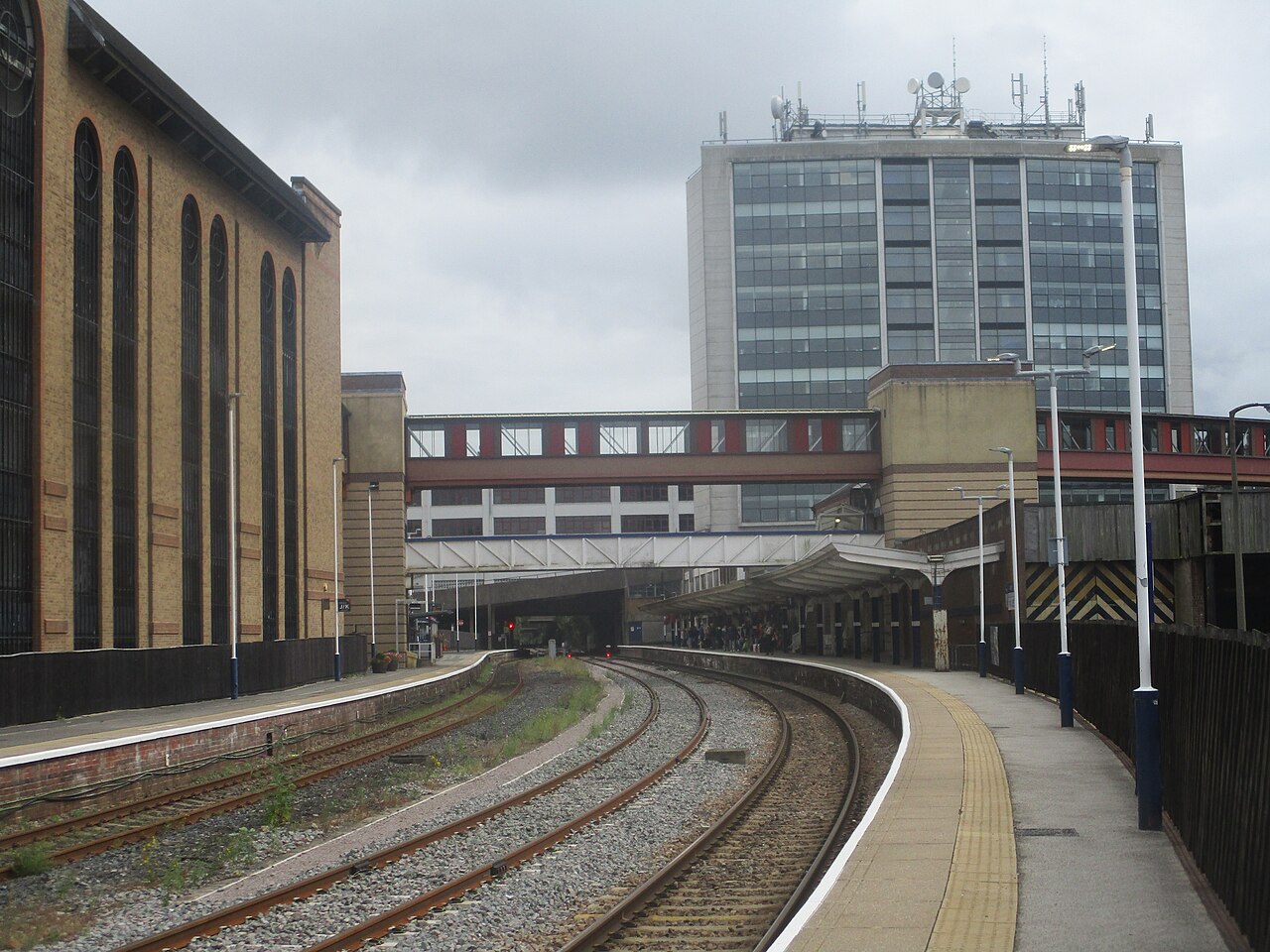
Transport in North Yorkshire combines rural roads with rail connections linking towns to larger cities beyond the county. Long-distance walking routes, cycleways and coastal paths are well used by visitors. The county’s size and varied terrain mean travel times can be long between remote dales and coastal settlements, and public transport provision is often concentrated around principal towns and commuter corridors.
Culture, heritage and attractions
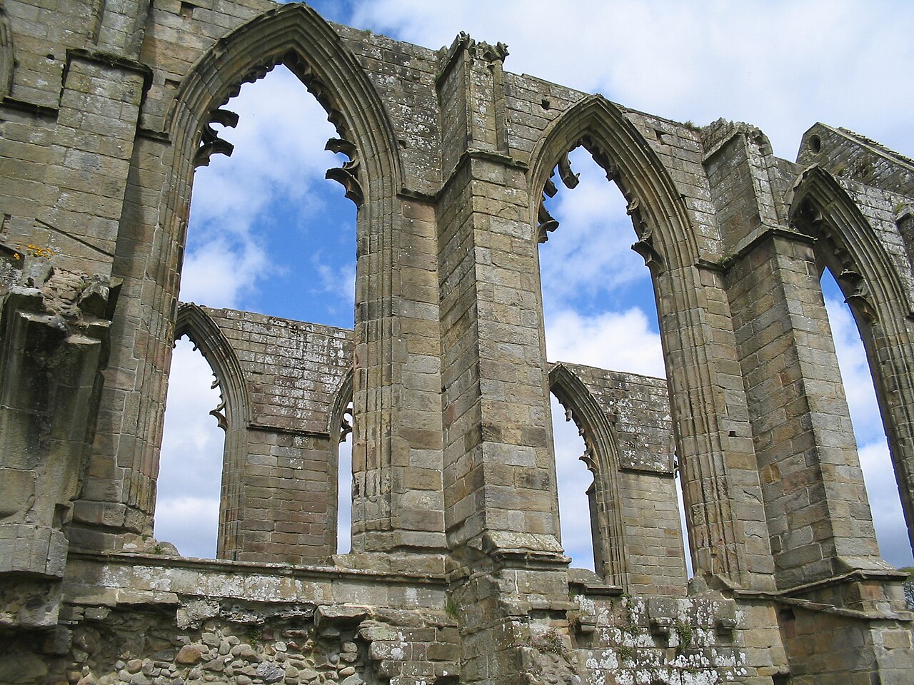
North Yorkshire is rich in heritage: medieval castles, cathedrals, market squares and historic railway lines draw cultural tourism. Festivals, museums and local craft traditions celebrate the county’s history and rural way of life. Coastal resorts offer Victorian piers and promenades, while inland communities maintain markets and fairs that reflect long-established local customs.
Protected areas and conservation
Two of the country’s national park areas are associated closely with North Yorkshire: large parts of the Yorkshire Dales and the North York Moors fall within its boundaries, and both are managed to conserve landscapes, wildlife and cultural features. Other designations, from Sites of Special Scientific Interest to conservation areas, help protect important habitats and historic places. These protections coexist with active farming and rural communities.
Relationships with neighbouring counties
North Yorkshire borders several other counties and shares historical and functional ties with them, including South Yorkshire, West Yorkshire and the East Riding of Yorkshire. Its position within the UK national parks network and in the regional planning framework of Yorkshire and the Humber links local conservation and economic strategies to broader regional policies.
Visiting and further information
Visitors often plan trips around the county’s walking routes, historic towns and coastal resorts. Local visitor centres, national park authorities and county information sources provide guidance on access, conservation and attractions. For administrative background and travel planning consult official county and regional guidance and local tourism resources (county, region, Yorkshire and the Humber).
Related articles
Author
AlegsaOnline.com North Yorkshire: geography, history and major places Leandro Alegsa
URL: https://en.alegsaonline.com/art/70976