
South Yorkshire
Metropolitan county in northern England, created in 1974; includes Sheffield, Doncaster, Rotherham and Barnsley and combines industrial heritage, Peak District edges, transport links and cultural institutions.
Overview
South Yorkshire is a metropolitan county in northern England created for local government purposes in 1974. It lies within the broader Yorkshire and the Humber region and is one of England's metropolitan counties. The area blends former heavy‑industry centres with suburban and rural zones on the edge of the Pennines and the Peak District.
Image gallery
10 Images



Geography and administrative parts
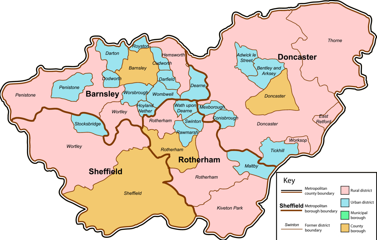
The county comprises four metropolitan boroughs that administer local services and planning:
- Sheffield
- Doncaster
- Rotherham
- Barnsley
These boroughs together form the metropolitan county often described simply as South Yorkshire. The western fringes include upland and parkland landscapes, while river valleys and former coalfield towns characterise much of the rest.
History and development
South Yorkshire was established by the Local Government Act 1972 and came into effect in 1974 as part of a nationwide reorganisation of local government. At the start of the 21st century the county covered about 155,205 hectares. Historically the area developed rapidly during the 19th and 20th centuries around coal mining, steelmaking and railway hubs; many communities retain that industrial heritage even as local economies have diversified.
Economy, culture and importance
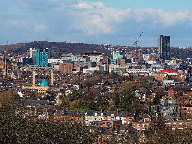
Traditionally dominated by steel and coal, South Yorkshire's economy today includes manufacturing, services, education and creative industries. Sheffield is noted for its universities and cultural venues; Doncaster has long been a transport and trading node; Rotherham and Barnsley host mixed industrial, retail and community services. The county supports theatres, museums and music scenes that reflect both working‑class history and modern regeneration.
Transport and links
Well‑connected by road and rail, South Yorkshire sits on important northern routes and contains busy rail junctions and regional airports. River corridors and preserved canal routes also played historical roles in moving goods during the industrial era, and remain features of the local landscape.
Notable facts
- Parts of the Peak District National Park lie along the county's western edge, offering contrasts of moorland and gritstone to the urban areas.
- Local governance is delivered through the metropolitan boroughs and combined public bodies responsible for regional planning, transport and policing.
- South Yorkshire forms part of England and the county is often referenced in discussions of post‑industrial regeneration and regional identity.
Related articles
Author
AlegsaOnline.com South Yorkshire Leandro Alegsa
URL: https://en.alegsaonline.com/art/92244
Sources
- local.odpm.gov.uk : "Local Government Finance Statistics England No.16"
- visionofbritain.org.uk : Vision of Britain
- visionofbritain.org.uk : Vision of Britain