
Lower Austria (Niederösterreich) — geography, history and economy
Lower Austria (Niederösterreich) is Austria's largest state by area, surrounding Vienna. It features the Danube valley, varied mountain ranges, important wine regions and a largely rural economy.
Overview
Lower Austria (Niederösterreich) occupies the northeast of the Republic of Austria and is the country's largest state by area. Covering roughly 19,000 km² and home to about 1.7 million people, it forms a broad ring around the federal city of Vienna. The administrative seat and largest city is Sankt Pölten, which has served as the state's capital since 1986. Other important urban centres include Wiener Neustadt and several historic towns along the Danube.
Image gallery
10 Images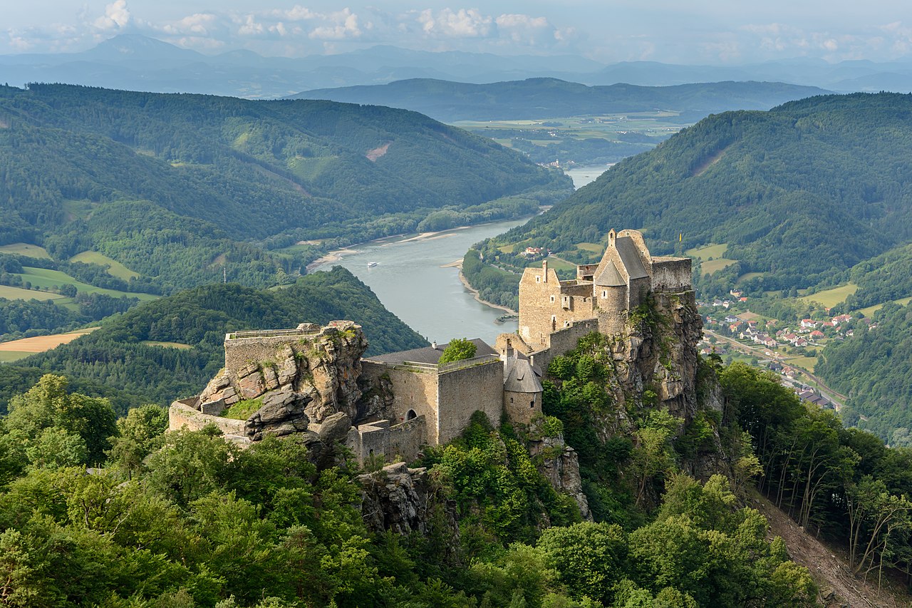





Geography and landscapes
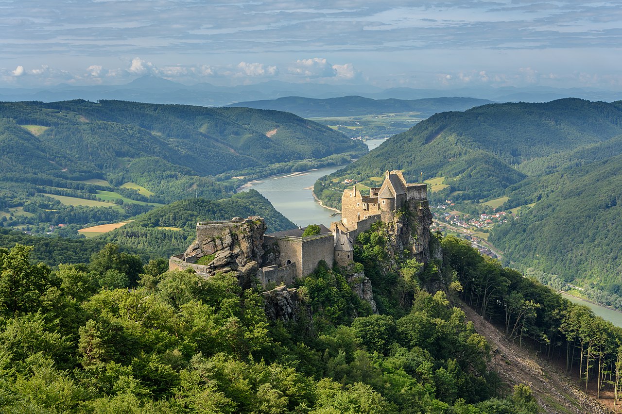
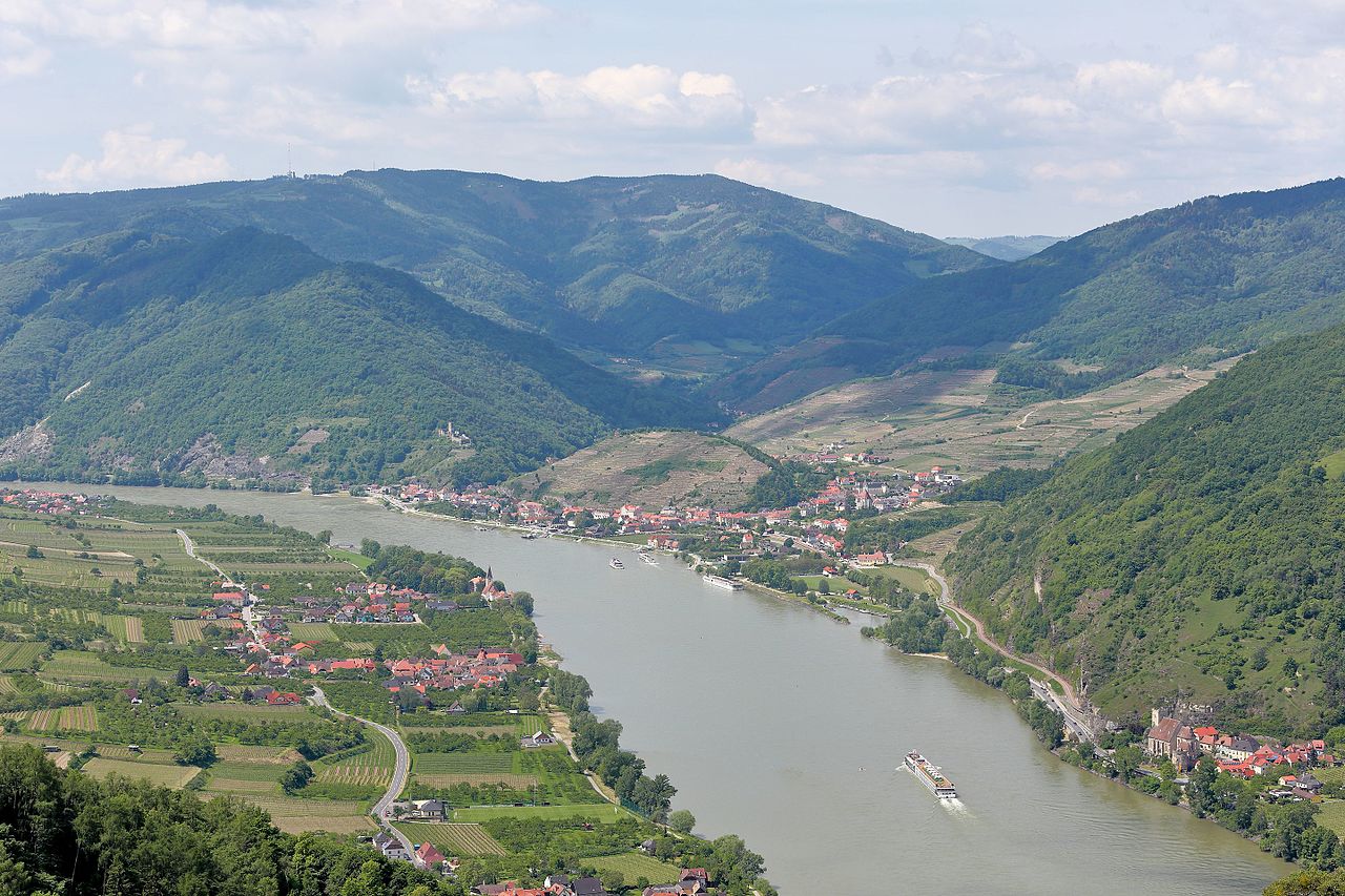
The course of the Danube is a defining feature: it bisects Lower Austria and helps to distinguish its traditional quarters. To the north are the Waldviertel and the Weinviertel, a region of rolling hills, forests and vineyard-covered slopes. The southern portion contains the Mostviertel and the Industrieviertel, where foothills and Alpine spurs rise toward higher terrain.
The northern highlands are geologically tied to the Bohemian Massif; the Manhartsberg ridge is one local example. In parts of the Weinviertel the landscape connects to the outer arcs of the Carpathian Mountains, while the southern ranges include spurs of the Alps such as the Vienna Woods (Wienerwald). The highest peak in the state is the Schneeberg, which reaches just over 2,000 metres and is a popular destination for hikers and day-trippers.
Administrative divisions and population
Lower Austria is subdivided into 21 districts and contains several hundred municipalities. Historically and administratively it functions as a large, largely rural federal state with a mixed pattern of small towns and agricultural communities. Nearly three quarters of its area are given over to farming, forest and open countryside: roughly 42% is used for agriculture and about 40% remains wooded. The population is predominantly Roman Catholic; traditional religious and folk customs continue to shape local community life.
History and identity
As a region, Lower Austria has deep historical roots in the development of the Austrian lands. It includes the historic territories that formed a core of early medieval and later dynastic centres; over centuries the region evolved around trade routes along the Danube and around the rising urban centres near Vienna. Its identity reflects a mixture of rural traditions, riverine commerce and proximity to imperial centres.
Economy, agriculture and tourism
Agriculture, forestry and viticulture remain important components of the local economy. The state contains several well-known wine districts: the Wachau valley (Wachau), the extensive vineyards of the Weinviertel, and the warm slopes of the Thermenregion are noted for white wines and scenic landscapes. The southern Industrieviertel hosts manufacturing and service industries, while thermal spas, cultural tourism and river cruises along the Danube attract visitors year-round. Lower Austria also borders other Austrian states — Upper Austria, Styria and Burgenland — and shares international frontiers with the Czech Republic and Slovakia, giving it a strategic position in Central Europe.
Notable facts and distinctions
- Lower Austria is the largest Austrian state by area and surrounds the national capital city of Vienna.
- The Danube valley shapes much of its settlement, transport and tourism patterns (Danube).
- Winegrowing areas such as Wachau and the Weinviertel are internationally recognised for quality and scenic value.
- The mix of forests, farms and towns—about 42% agricultural land and 40% forest—gives the state a distinctly rural character within a modern economy.
Related articles
Author
AlegsaOnline.com Lower Austria (Niederösterreich) — geography, history and economy Leandro Alegsa
URL: https://en.alegsaonline.com/art/59589