Caribbean Netherlands (BES islands)
The Caribbean Netherlands—Bonaire, Sint Eustatius and Saba—are special municipalities of the Netherlands in the Caribbean. This article explains their status, geography, history, people and economy.
Overview
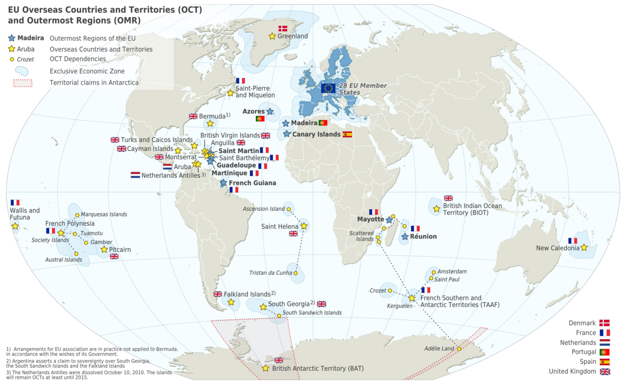
The Caribbean Netherlands (Dutch: Caribisch Nederland) refers to the three special municipalities that form the part of the Netherlands located in the Caribbean rather than in Europe. These islands—commonly called the BES islands—are Bonaire (Bonaire), Sint Eustatius (Sint Eustatius) and Saba (Saba). They are politically integrated with the Netherlands proper as special municipalities, but retain several legal and administrative differences from European municipalities.
Image gallery
6 Images


Geography and natural features
The three islands are grouped in two parts of the Caribbean: Bonaire lies off the coast of northern South America and is relatively close to Venezuela (Venezuela), while Sint Eustatius and Saba sit farther north, south of Sint Maarten (Sint Maarten) and northwest of the Leeward Islands such as Saint Kitts and Nevis (Saint Kitts and Nevis). The islands are small—together covering about 328 square kilometres—with distinct landscapes: Bonaire is renowned for its fringing coral reefs and salt flats; Saba is dominated by a steep volcanic peak; and Sint Eustatius features an eroded volcanic core and tropical vegetation.
Political status and law
Following the dissolution of the Netherlands Antilles (Netherlands Antilles) on 10 October 2010, the BES islands became special municipalities of the Kingdom of the Netherlands and part of the country usually referred to as the Netherlands. They are not part of the European Union as full member territory; instead they have a special overseas status and are treated as overseas territories in relation to the European Union. Unlike ordinary Dutch municipalities, they do not belong to any Dutch province, and some Dutch laws apply only after adaptation to local conditions. Residents are Dutch citizens and hold the same nationality as people in the European part of the country.
People, language and economy
The BES islands have a combined population of roughly 21,000 inhabitants and rely largely on small-scale tourism, fishing, and locally adapted services. Dutch is the official language, but Papiamentu (especially on Bonaire), English (widely used on Saba and Sint Eustatius), and local dialects are common in daily life. Many visitors come for diving, nature reserves and cultural heritage; Bonaire in particular is internationally known for marine conservation and scuba diving. The islands use the United States dollar as their common currency, which eased transactions for international tourism and commerce.
History, administration and practical facts
Historically the islands were administered together with other Dutch Caribbean territories such as Aruba (Aruba), Curaçao (Curaçao) and Sint Maarten, all of which now have different constitutional relations within the Kingdom. Since the 2010 constitutional change, each BES island has its own local administration and mayoral structure suited to its size. Local towns of note include Kralendijk on Bonaire, Oranjestad on Sint Eustatius, and The Bottom on Saba. Transport relies on regional air links and small ports; the islands have limited road networks and intentionally protect many natural areas to support biodiversity and sustainable tourism.
Distinctive features and notable facts
- Saba contains Mount Scenery, a volcanic summit that is the highest point of the entire country of the Netherlands when measured within the special municipalities.
- Bonaire has extensive protected coral reef areas and marine parks that draw divers worldwide.
- Sint Eustatius preserves colonial-era sites and a compact mixture of tropical ecology and historical settlements.
- The islands continue to balance local customs and languages with the legal and administrative frameworks of the European Netherlands, creating a unique blend of Caribbean life and Dutch governance.
For administrative details, travel guidance and updates on legal arrangements, official sources from the Dutch government and local island councils provide current information about services, residency and taxation that reflect the islands' special status within the Kingdom.
Tags
Related articles
Author
AlegsaOnline.com Caribbean Netherlands (BES islands) Leandro Alegsa
URL: https://en.alegsaonline.com/art/16971
Sources
- wetten.overheid.nl : "Invoeringswet openbare lichamen Bonaire, Sint Eustatius en Saba"
- wetten.overheid.nl : "Wet geldstelsel BES"
- iana.org : "Delegation Record for .BQ"
- government.nl : "Constitutional reform of Netherlands Antilles completed"
- zoek.officielebekendmakingen.nl : "Besluit van 23 september 2010 tot vaststelling van het tijdstip van inwerkingtreding van de artikelen I en II van de Rijkswet wijziging Statuut in verband met de opheffing van de Nederlandse Antillen"
- eur-lex.europa.eu : "Official Journal of the European Union – C 83"
- ikregeer.nl : "Regels met betrekking tot de openbare lichamen Bonaire, Sint Eustatius en Saba (Wet openbare lichamen Bonaire, Sint Eustatius en Saba); Verslag"
- eerstekamer.nl : "31.954, Wet openbare lichamen Bonaire, Sint Eustatius en Saba"
- cbs.an : "Statistical Info: Area and Climate"
- statline.cbs.nl : "Bevolkingsontwikkeling Caribisch Nederland; geboorte, sterfte, migratie"