
Saba: small volcanic island and special municipality of the Netherlands
Saba is a tiny volcanic island in the Caribbean Netherlands, known for Mount Scenery, steep terrain, a protected marine environment, and its status as a special municipality of the Kingdom of the Netherlands.
Overview
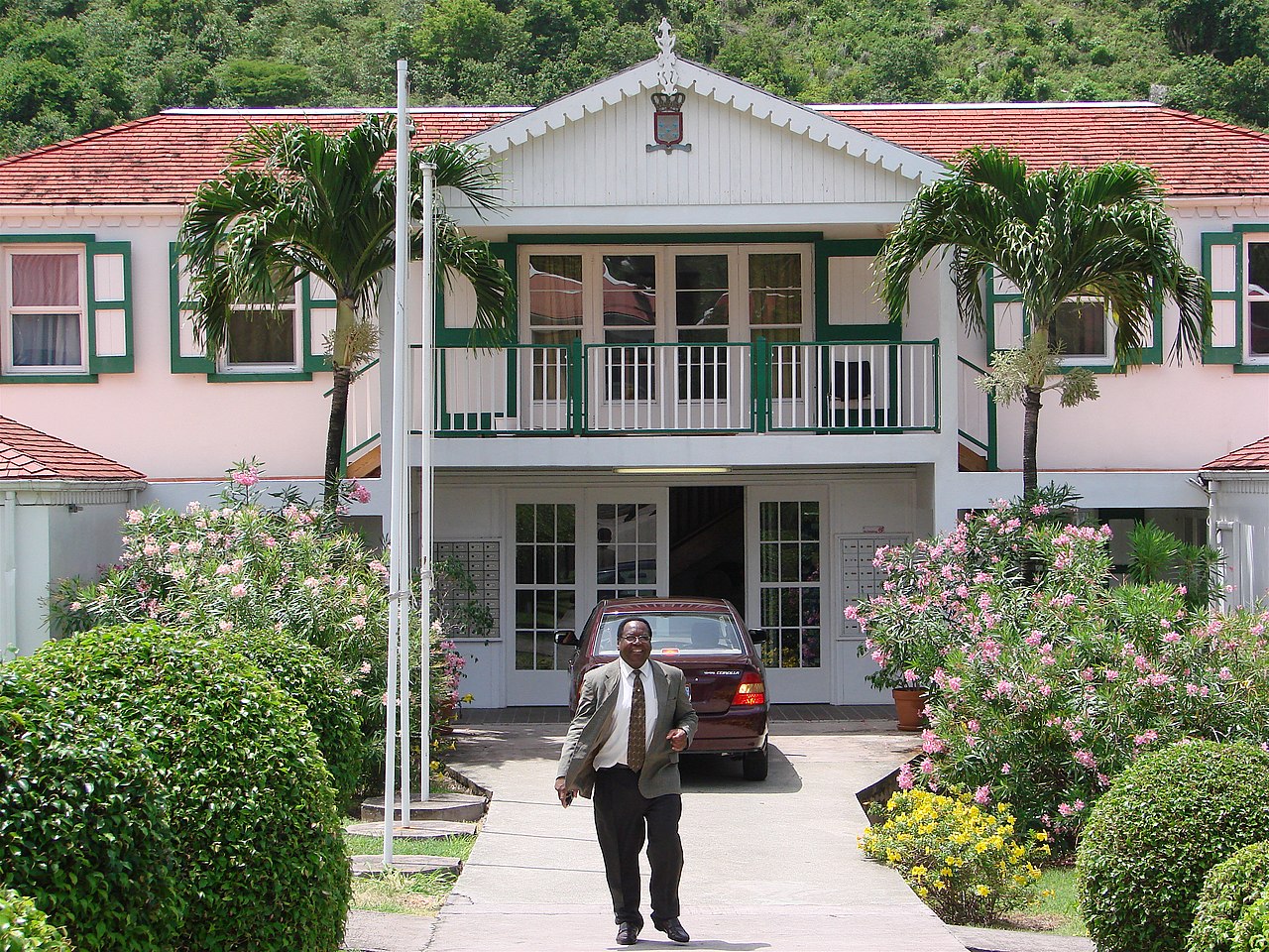
Saba (pronounced "Sah-ba") is the smallest island-level municipality in the Caribbean part of the Kingdom of the Netherlands. Located at approximately 17°38′N 63°14′W, it is a rugged, volcanic island that functions as a special municipality (public body) of the Netherlands. Historically it was part of the Netherlands Antilles; since reorganization of the Dutch Caribbean its constitutional status has changed while it has retained close administrative and cultural ties to the Netherlands. For general location reference see map links and administrative notes at Caribbean Netherlands.
Image gallery
10 Images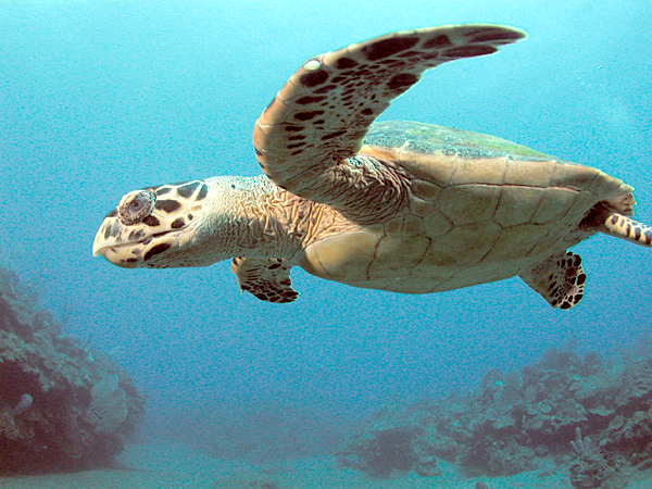


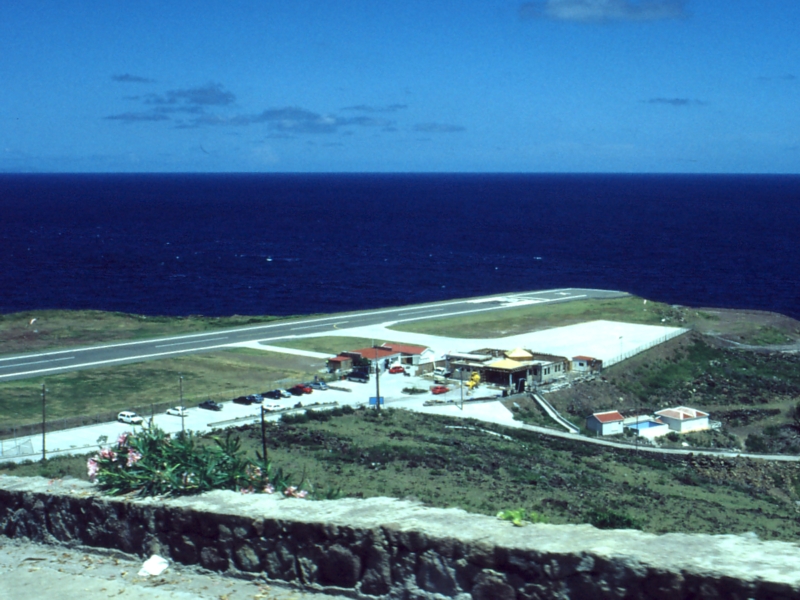

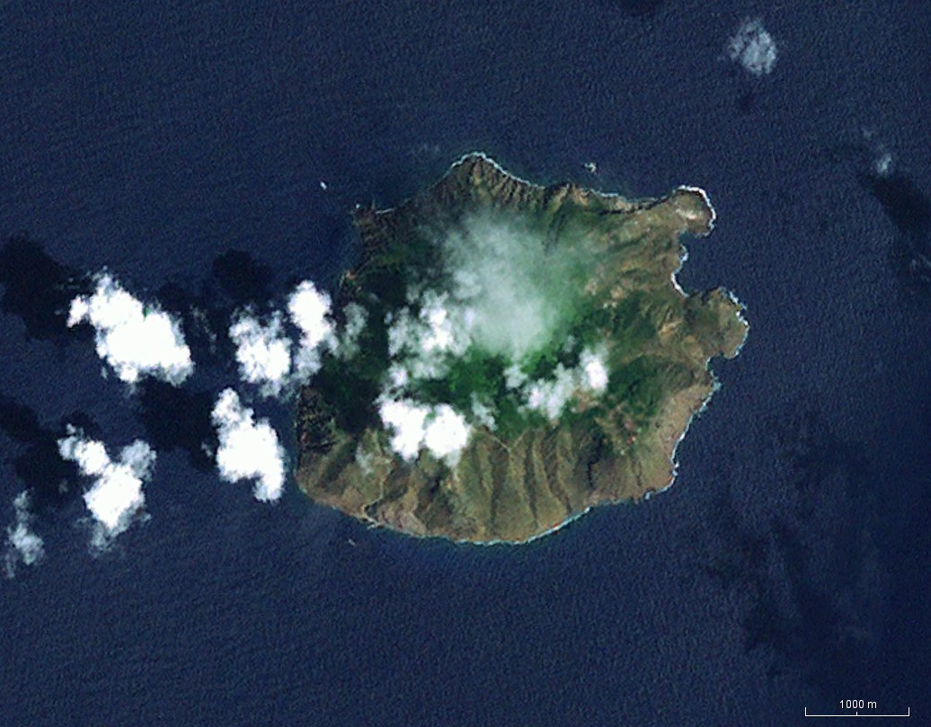
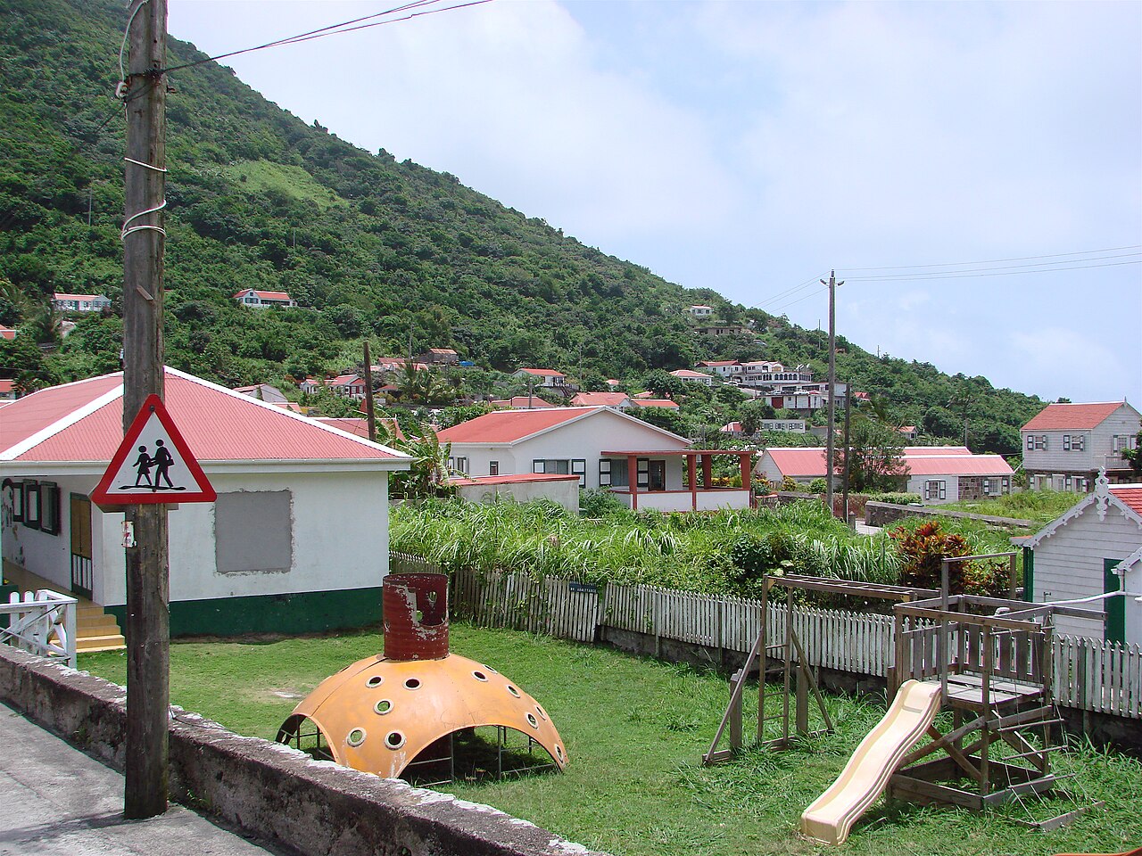


Geography and geology
Saba covers about 13 km² (roughly 5 square miles) and is dominated by a steep, forested volcanic peak known as Mount Scenery. Mount Scenery rises to become the highest point in the entire Kingdom of the Netherlands and is a dormant volcanic structure. The island's topography is sharply sloped, with cliffs meeting the sea in places and narrow terraces and valleys where settlements have developed. More geographical and geological context is available through regional resources such as former Netherlands Antilles records and volcanic literature at Mount Scenery references.
Settlements, infrastructure, and access
Settlement on Saba clusters in a few small villages set on terraces and ridges. Principal communities include The Bottom (the island's capital), Windwardside, and St. Johns. Access is by air and sea: the island has a small airport notable for its unusually short commercial runway, and sea links connect Saba with neighboring islands. Practical visitor information is often provided by transport and tourism pages such as local airport and ferry guides.
Environment, economy and activities
The island places strong emphasis on conservation. Surrounding waters are largely protected as part of marine conservation efforts and are popular with divers because of healthy coral communities, steep drop-offs and clear water. On land, hiking — including routes up Mount Scenery — and birdwatching are common activities. The economy is small-scale and relies on a mix of eco-tourism, public services, local commerce and some agriculture. Visitor and environmental resources can be found via organizations listed at conservation and tourism.
History, governance and population
Saba has a history of indigenous habitation, European contact and colonial administration under the Dutch. It was part of the Netherlands Antilles until constitutional changes in 2010 reorganized the region; today it is administered directly as a public body of the Netherlands. The resident population has historically been small — on the order of a few thousand or fewer — with counts around the early 2000s reporting roughly fourteen hundred people. For governance and demographic summaries consult sources such as official census and administrative records.
Notable distinctions
- Highest point of the Kingdom: Mount Scenery is the kingdom's highest elevation.
- Compact and steep: Saba's small area and sharp relief create dramatic scenery and limit large-scale development.
- Conservation focus: Marine and terrestrial protections make it a destination for low-impact tourism.
Saba's combination of political ties to the Netherlands, volcanic terrain, and conservation-minded visitor offerings make it distinctive among Caribbean islands. For more detailed guidance on travel, natural history and administration, the links above point to specialized resources.
Related articles
Author
AlegsaOnline.com Saba: small volcanic island and special municipality of the Netherlands Leandro Alegsa
URL: https://en.alegsaonline.com/art/85085
Sources
- wetten.overheid.nl : "Invoeringswet openbare lichamen Bonaire, Sint Eustatius en Saba"
- statline.cbs.nl : "Bevolkingsontwikkeling Caribisch Nedoerland; geboorte, sterfte, migratie"
- iso.org : "ISO 3166-1 decoding table"