2004 Atlantic hurricane season
An above‑average Atlantic hurricane season running June 1–November 30, 2004, notable for 15 named storms, exceptionally high energy, and several destructive hurricanes that struck the Caribbean and United States.
The 2004 Atlantic hurricane season officially covered June 1 through November 30, the period when most tropical cyclones form in the Atlantic basin. Activity that year exceeded the long‑term average: fifteen systems reached tropical storm strength and the season produced one of the largest totals of Accumulated Cyclone Energy (ACE) in recent decades. Several storms were unusually intense or destructive, and the season extended slightly beyond the official dates when Tropical Storm Otto formed on the final day of November and persisted into December.
Image gallery
10 Images


Overview and notable features
The 2004 season combined frequent formation with several long‑lived and powerful storms. Beyond the simple count of named systems, meteorologists judge a season’s strength by ACE, which accounts for intensity and duration; 2004’s high ACE reflects both many storms and several that maintained hurricane intensity for extended periods. Patterns that year included multiple storms forming in the central and eastern Atlantic and several systems that tracked westward to affect the Caribbean and southeastern United States.
Major storms and impacts
Four storms in particular drew widespread attention because of their intensity and impacts on land. Brief summaries follow; each storm produced significant wind, storm surge, or flooding across island nations and U.S. states:
- Hurricane Charley — a fast‑moving, rapidly intensifying hurricane that made a damaging landfall in parts of the southeastern United States.
- Hurricane Frances — a large hurricane that caused extensive wind and flood damage over several days as it moved slowly across populated areas.
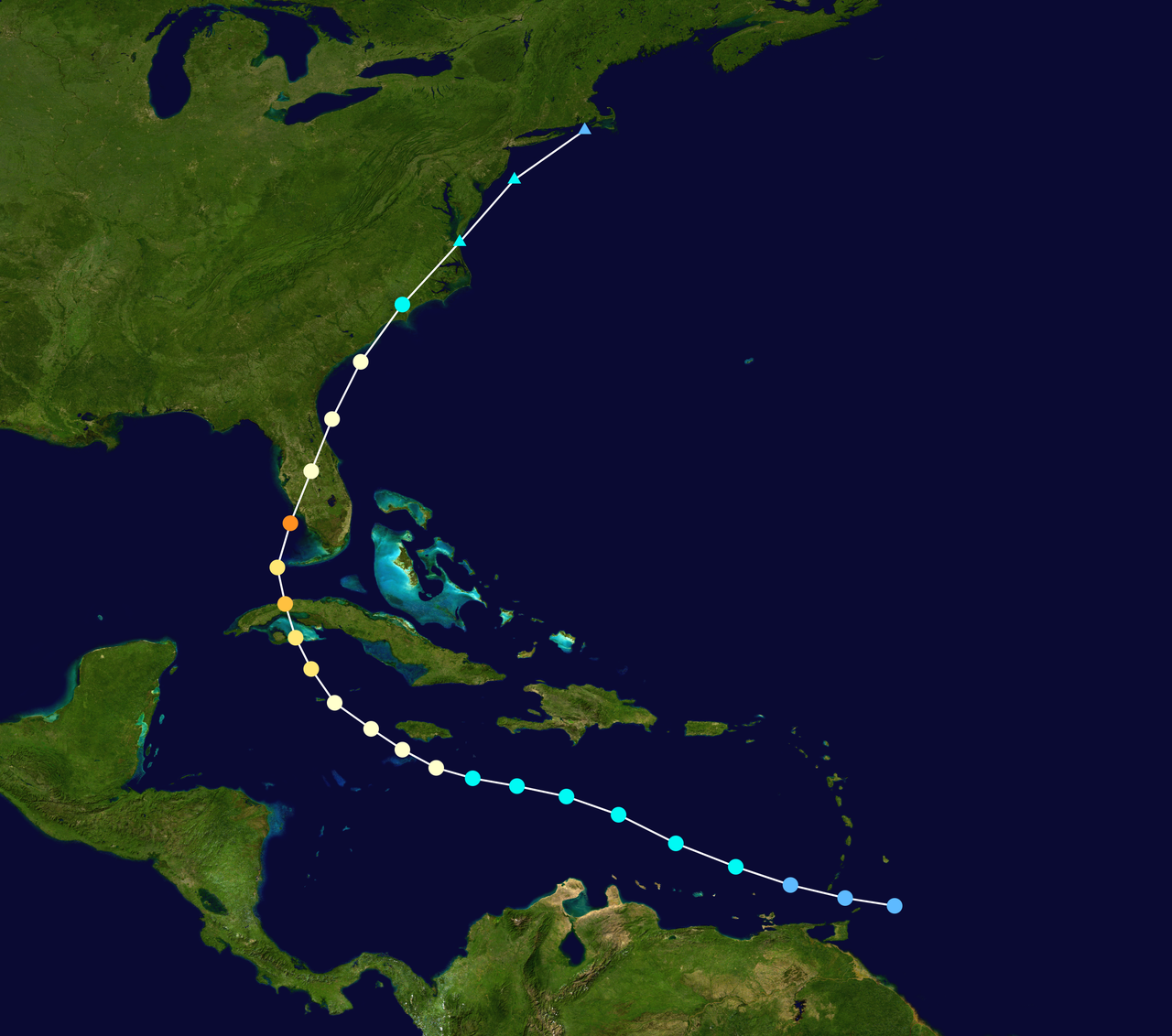
- Hurricane Ivan — a long‑lived and very intense storm notable for powerful winds and a wide swath of marine and coastal impacts.
- Hurricane Jeanne — an event associated with catastrophic flooding in portions of the Caribbean and substantial effects where it reached landfall.
Characteristics and meteorological context
The season displayed several meteorological traits of interest: episodes of rapid intensification, multiple land‑falling hurricanes, and storms that retained strength while moving over the warm Gulf Stream and Caribbean waters. Forecasters relied on satellite imagery, aircraft reconnaissance, and numerical models to track development and issue warnings. Tropical Storm Otto’s late formation illustrated that significant cyclonic activity can occasionally occur outside the conventional season window.
Legacy and distinctions
2004 is remembered for its combination of high activity and severe societal impacts. Emergency managers, coastal communities, and meteorological agencies used lessons from that year to refine forecasting, communication, and preparedness practices. In climatological records, the season stands out for its high ACE and for producing multiple storms that made damaging landfall, emphasizing that an above‑average season can create concentrated effects even in a single region.
Related articles
Author
AlegsaOnline.com 2004 Atlantic hurricane season Leandro Alegsa
URL: https://en.alegsaonline.com/art/112353
Sources
- nhc.noaa.gov : "2004 Atlantic Hurricane Season"
- nhc.noaa.gov : "Tropical Cyclone Report: Hurricane Alex"
- nhc.noaa.gov : nhc.noaa.gov
- nhc.noaa.gov : "Hurricane Gaston Tropical Cyclone Report"
- nhc.noaa.gov : "Tropical Cyclone Report: Tropical Storm Hermine"
- nhc.noaa.gov : "Tropical Cyclone Report: Hurricane Karl"
- nhc.noaa.gov : "Tropical Cyclone Report: Tropical Storm Otto"