2013 Atlantic hurricane season
A below‑average Atlantic hurricane season running from June 1 to November 30, 2013, notable for early Tropical Storm Andrea and for producing no major hurricanes for the first time since 1994.
Overview
The 2013 Atlantic hurricane season officially extended from June 1 through November 30, the conventional bounds for tropical cyclone formation in the North Atlantic basin. Activity during the year was below the long‑term climatological average: fewer and generally weaker tropical cyclones formed than is typical in a busy season. Although several named storms developed and some reached hurricane strength, none intensified to major hurricane status (Category 3 or greater on the Saffir–Simpson scale), marking the first season since 1994 to finish without a known major hurricane.
Image gallery
10 Images


Notable systems and timeline
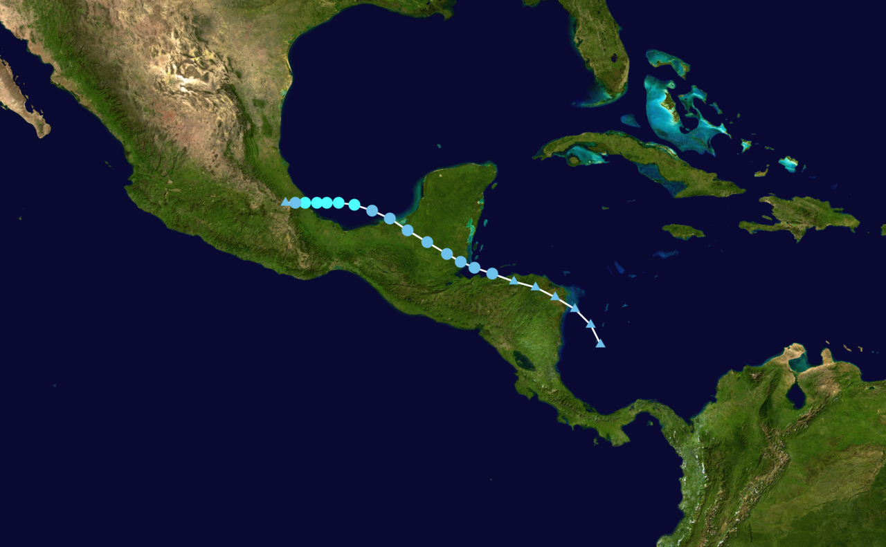
The season opened in early June when Tropical Storm Andrea developed from a tropical wave and later acquired subtropical characteristics before moving over parts of the southeastern United States. Andrea produced heavy rainfall and coastal impacts in parts of Florida and nearby coastal areas, prompting routine tropical and subtropical advisories and warnings. Later in June, Tropical Storm Barry formed and persisted briefly before transitioning to a post‑tropical state. In early July, Tropical Storm Chantal appeared and likewise became post‑tropical within a couple of days.
- Tropical Storm Andrea: early June; an example of a system that showed both tropical and subtropical traits during its life cycle.
- Tropical Storm Barry: developed mid‑June and transitioned to a non‑tropical low as environmental conditions changed.
- Tropical Storm Chantal: formed in July and was short‑lived, becoming post‑tropical after making limited impacts.
Meteorological factors
Several atmospheric and oceanic conditions contributed to the overall quiet nature of the season. A combination of stronger vertical wind shear across much of the tropical Atlantic, pockets of dry air and Saharan dust that limited moist convection, and ENSO‑related influences (a shift toward neutral or weak El Niño conditions late in the year) tended to suppress the organization and intensification of tropical systems. Sea surface temperatures in some key development regions were not uniformly warm enough to support rapid strengthening, and many disturbances struggled to consolidate into long‑lived storms.
Impacts, damage and significance
Even a relatively quiet season can produce hazardous weather. The storms that did occur caused heavy rainfall, localized flooding, coastal erosion, dangerous rip currents, and isolated wind and tornado damage in affected areas. While the overall economic and human impacts were smaller than in more active seasons, there were still pockets of notable damage and some loss of life associated with individual storms and associated marine hazards. Local agencies and media issued guidance and situational updates; for regional summaries and on‑the‑ground reporting, see local reports.
Distinctions and lessons
The primary distinction of the 2013 Atlantic hurricane season was its lack of major hurricanes, a notable departure from many previous years and a reminder that seasonal totals do not eliminate the risk posed by any single storm. Forecasters emphasize that even tropical storms and minimal hurricanes can produce life‑threatening conditions through flooding and coastal impacts. The season reinforced the importance of preparedness, timely warnings, and public awareness regardless of seasonal activity forecasts.
Forecasting and preparedness
Operational agencies continued standard monitoring, forecasting, and warning practices throughout the season, using satellite imagery, reconnaissance flights when appropriate, and numerical models to track disturbances. The season illustrated that forecast uncertainty remains: quiet seasons can still produce locally significant events, so coastal communities and mariners are encouraged to maintain preparedness plans and heed official watches and warnings.
Questions and answers
Q: Was the 2013 Atlantic hurricane season above or below average?
A: The 2013 Atlantic hurricane season was well below average.
Q: When did the 2013 Atlantic hurricane season start and end?
A: The season started on June 1 and ended on November 30.
Q: When did Tropical Storm Andrea form?
A: Tropical Storm Andrea formed on June 5, 2013.
Q: What happened when Tropical Storm Andrea became a subtropical storm?
A: Tropical Storm Andrea became a subtropical storm on June 7.
Q: Did any major hurricanes occur during the 2013 Atlantic hurricane season?
A: No, the 2013 Atlantic hurricane season was the first season since 1994 to end with no known major hurricanes.
Q: When did Tropical Storm Barry develop?
A: Tropical Storm Barry developed seventeen days after Tropical Storm Andrea, on June 22, 2013.
Q: Where did Tropical Storm Andrea make landfall?
A: Tropical Storm Andrea made landfall 310 miles (500 km) southwest of Tampa, Florida.
Related articles
Author
AlegsaOnline.com 2013 Atlantic hurricane season Leandro Alegsa
URL: https://en.alegsaonline.com/art/112506
Sources
- nhc.noaa.gov : Tropical Cyclone Names
- noaanews.noaa.gov : "Dean, Felix, and Noel Retired From List of Storm Names"