
Werra — river of central Germany
The Werra is a central German river rising in Thuringia, flowing ~293 km to join the Fulda at Hann. Münden and form the Weser; its valley separates the Rhön and the Thuringian Forest.
Overview
The Werra is a river in central Germany that rises in the Thuringian highlands and, after a winding course of about 293 km, meets the Fulda to form the Weser. Its upper reaches begin near the village of Fehrenbach, and the river runs through a landscape of wooded ridges and agricultural lowlands. The Werra has long been an important natural corridor in the region and remains a focus for local recreation and conservation. For general reference see river and the broader region of central Germany.
Its source is commonly given as the area around Fehrenbach in Thuringia, and official measurements place the Werra's length at approximately 293 km. Downstream it joins the Fulda River at Hann. Münden, and from that confluence the combined waterway is known as the Weser. The Werra valley, often called the Werratal, forms a clear geographic division between the Rhön hills and the Thuringian Forest.

Image gallery
8 Images




Course and physical characteristics
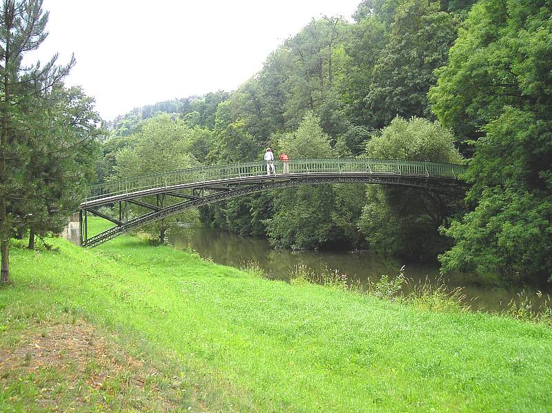
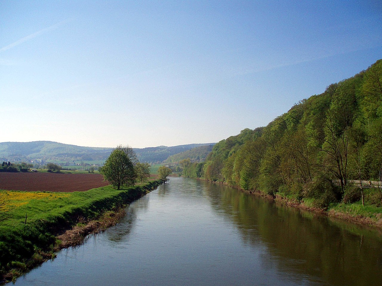
The Werra runs through varied terrain: upland streams and narrow gorges in its upper course give way to broader meadows and floodplains downstream. The river's regime reflects seasonal rainfall and snowmelt, with occasional flooding in low-lying stretches. Its channel supports a mix of riffles, pools and slower meandering sections that provide habitats for fish, aquatic invertebrates and riparian plants.

Human history and uses
Historically the Werra powered mills and supported small-scale navigation, but it was never a major commercial waterway compared with larger German rivers. In the 19th and 20th centuries the river basin hosted industry and mining—particularly potash extraction—which caused salinization and pollution in parts of the Werra. Since German reunification many water-quality measures and treatment projects have reduced pollution and improved ecological conditions, allowing renewed emphasis on fishing, canoeing and riverside tourism. Cycle routes and trails along the Werratal attract hikers and cyclists year-round.

Ecology, conservation and cultural significance
The Werra corridor includes important riparian woodlands and wet meadows that support birds and other wildlife. Local conservation efforts focus on restoring natural floodplain functions, improving water quality and maintaining traditional land uses that sustain biodiversity. Culturally the river links a string of small towns and historic centers—examples of urban heritage appear along its banks, culminating in the well-known confluence town of Hann. Münden.

Towns, activities and notable facts
- Notable places along the Werra include towns such as Meiningen and Eschwege; many smaller towns and villages also rely on the river for tourism and local recreation.
- Popular activities: kayaking and canoeing, angling, riverside cycling (Werratal cycle route), and nature-watching.
- Geographical role: the Werra is one of the two rivers whose meeting forms the Weser; its valley marks a boundary between the Rhön and Thuringian Forest.
- Environmental note: pollution from historical mining required long-term remediation, and ongoing watershed management aims to balance human use with ecological recovery.
Further information and maps of the Werra and its valley are available through regional sources and recreational guides; see general introductions and local portals for maps, current water conditions and protected-area designations (river, central Germany, Fehrenbach, length data, Fulda, Weser, Werratal, Rhön, Thuringian Forest, confluence).
Related articles
Author
AlegsaOnline.com Werra — river of central Germany Leandro Alegsa
URL: https://en.alegsaonline.com/art/107305