
Strait of Magellan
A navigable sea channel at South America's southern tip linking the Atlantic and Pacific, explored by Ferdinand Magellan and known for complex weather, navigational hazards, and historical maritime importance.
Overview
The Strait of Magellan is a natural maritime channel at the southern extremity of South America that provides a sheltered connection from the Atlantic Ocean to the Pacific Ocean. It separates the southern mainland of South America from the large archipelago of Tierra del Fuego. The waterway lies in a region where both Argentina and Chile have long held strategic and economic interests, and it is today administered under Chilean authority while remaining important to both countries.
Image gallery
10 Images




Physical characteristics
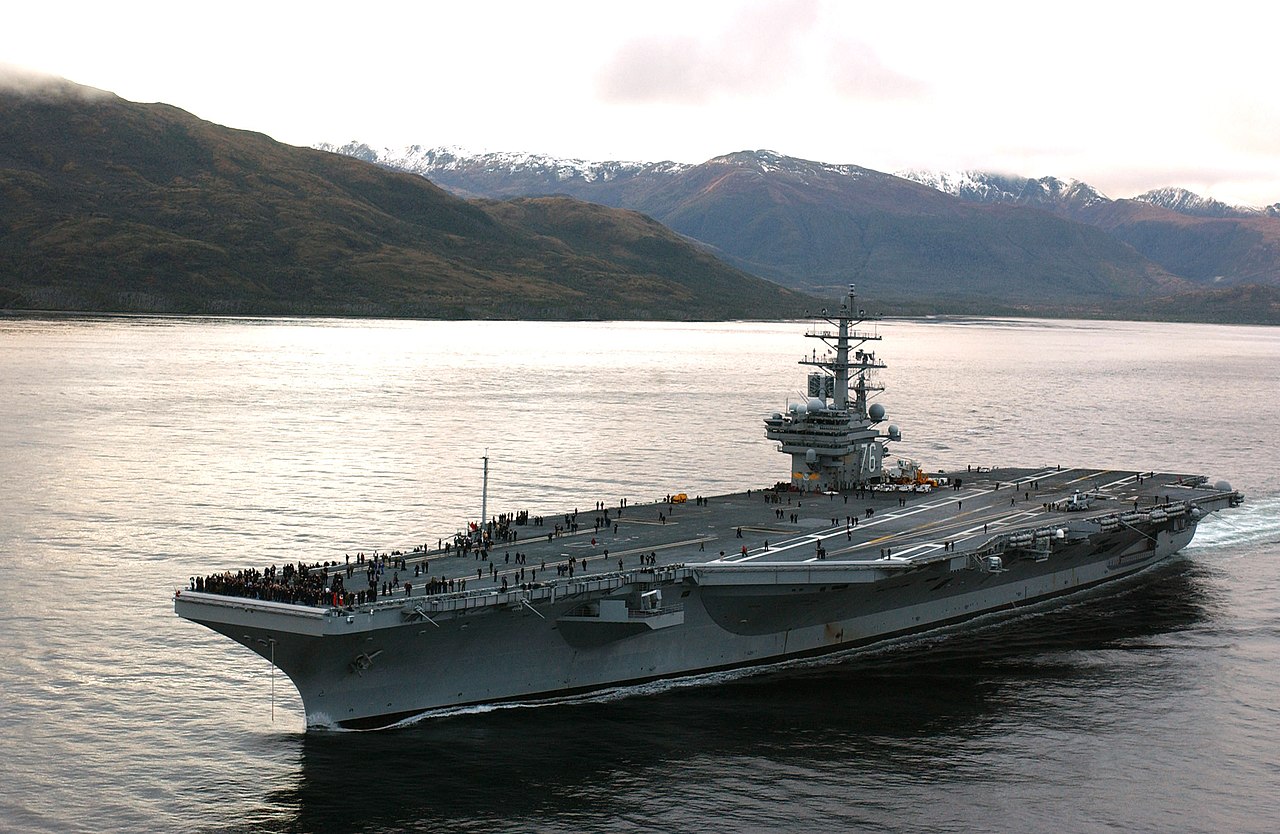
The strait is a complex set of channels, passages and island-strewn narrows rather than a single straight trench. Its shoreline features fjords, headlands and sheltered bays, and the route includes stretches that are relatively wide as well as narrow, twisting passages. Weather conditions are often challenging: dense fog, strong winds and sudden storms can reduce visibility and complicate navigation. Strong currents and tidal differences in some places add to the hazards faced by mariners.
History and naming
European awareness of the route increased after the early 16th century when the Portuguese navigator Ferdinand Magellan led an expedition that passed through the strait in 1520 during the first circumnavigation of the globe. Indigenous peoples had long used and lived along these coasts before European contact. Over subsequent centuries the strait became a key passage for ships rounding South America until alternative routes were developed.
Uses and importance
Before the opening of overland and canal routes that shortened transoceanic travel, the strait offered a relatively sheltered alternative to the open Southern Ocean. It was frequently used by commercial vessels, whalers, explorers and naval forces. Today it remains important for regional shipping, fishing fleets and passenger vessels, and it is a draw for expedition cruises that highlight subantarctic landscapes. Settlements such as Punta Arenas and Porvenir grew because of their access to these waters.
Environmental and cultural notes
The marine and coastal environment around the strait supports diverse birdlife, marine mammals and cold-water ecosystems; these are sensitive to pollution and changes in shipping patterns. The shores and islands also preserve cultural histories of local indigenous groups and colonial-era settlements. Conservation efforts and careful navigation practices aim to balance economic use with protection of fragile habitats.
Distinctive facts and comparisons
- The strait is named for the European commander who first guided a fleet through it, a navigational milestone in 16th-century exploration.
- Compared with the open waters farther south, the strait offered ships calmer seas but introduced hazards from narrow channels, making accurate charts and local knowledge essential.
- Contemporary political and legal arrangements reflect a history of disputes and treaties between Argentina and Chile, and the waterway itself is often referenced simply as the Strait in maritime contexts.
For further geographic and navigational details consult regional maritime references and historical studies on early European exploration and indigenous maritime cultures (Atlantic context, Pacific context, or national archives in South America and local institutions in Tierra del Fuego).
Related articles
Author
AlegsaOnline.com Strait of Magellan Leandro Alegsa
URL: https://en.alegsaonline.com/art/94158