
Balochistan (Pakistan): geography, history, government and significance
Balochistan is Pakistan's largest province by area, sparsely populated and resource-rich. This article covers its geography, history, administration, economy, and key contemporary issues.
Overview
Balochistan is the largest of Pakistan's provinces by land area and occupies a significant portion of the country's southwest. It is a sparsely populated region with a long coastline on the Arabian Sea and international borders with Iran and Afghanistan. The provincial capital is Quetta, and the territory forms an important strategic and economic zone for Pakistan. In terms of area the province is often compared to mid-sized countries; its total area is commonly reported as about 347,190 km2 (134,051 sq mi), which makes it larger than some independent states yet smaller than several European countries such as Germany or larger than others like the Republic of the Congo.
Image gallery
10 Images


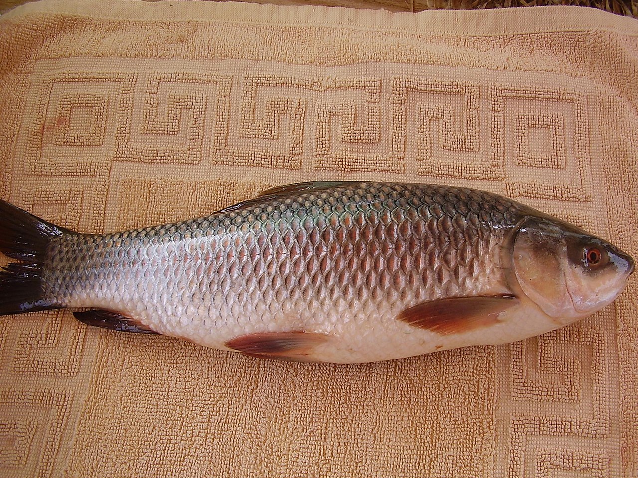

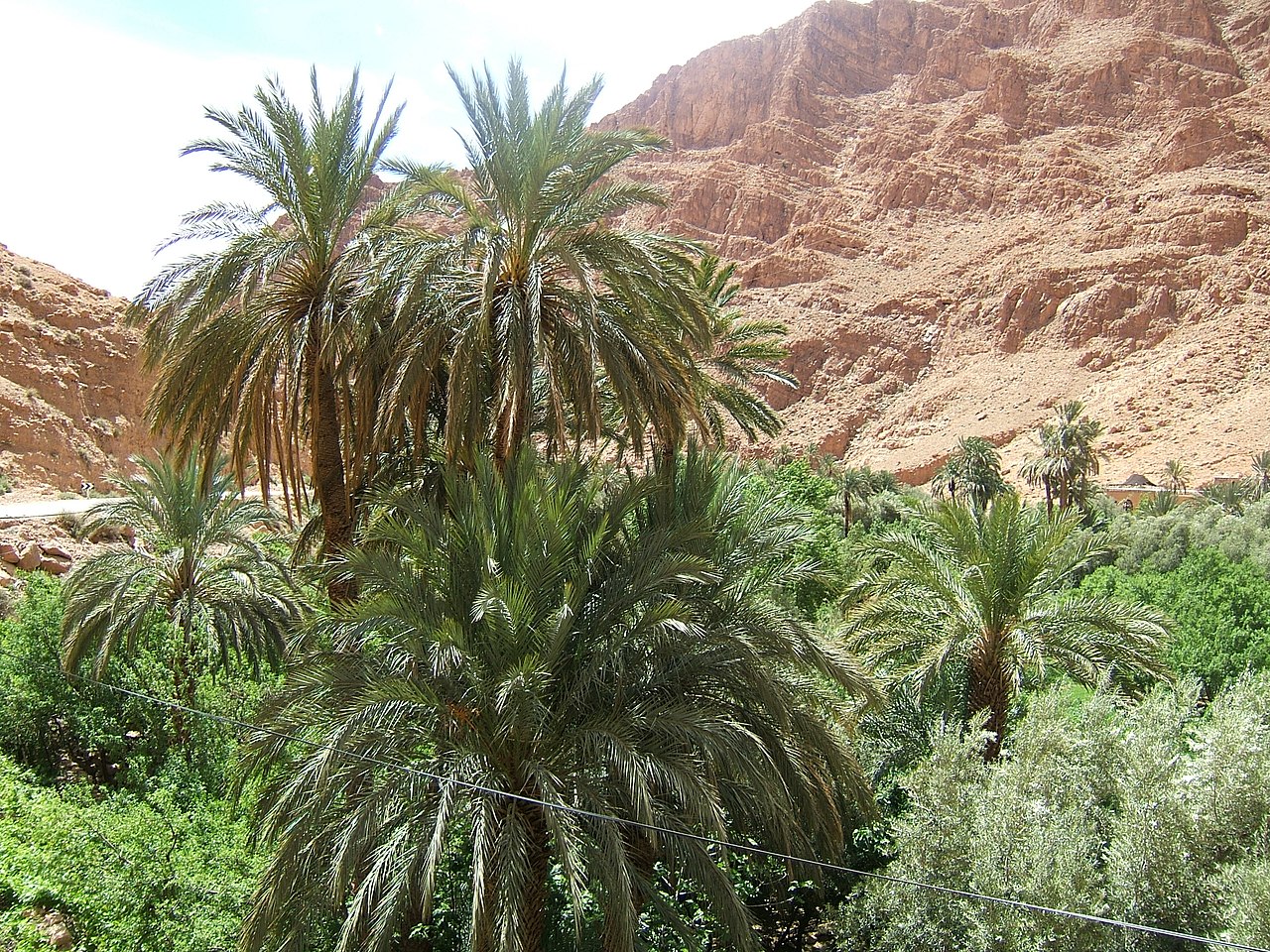


Geography and population
The landscape includes arid plateaus, mountain ranges, broad river valleys and a long coastal strip. Much of the province is dry, with widely scattered settlements; as a result the population density is low. Estimates of total population vary by source and census year, but figures commonly cited place it in the order of several million people. The province contains significant mineral and energy resources and also hosts major ports, including the deep-water port at Gwadar, which was incorporated from Oman into Pakistan in the mid-20th century.
History and political development
The modern administrative evolution of the region reflects the end of British rule on the subcontinent and subsequent reorganizations. Several princely states and tribal areas joined or acceded to Pakistan around the time of independence; for example, the territory known as the Chief Commissioner’s Province and adjacent states underwent political transitions in 1947 and 1948. Historical arrangements such as the Chief Commissioner's Province and the Balochistan States Union were folded into a single provincial structure over time, with further changes during the abolition of West Pakistan and re-creation of provinces. The formal incorporation of former enclaves, including the transfer of Gwadar from Oman in 1958, are often noted milestones in the province's territorial history. These developments took place during the early years of the Dominion of Pakistan and the republic that followed.
Government and administration
Balochistan, like other provinces of Pakistan, is governed under a parliamentary system at the provincial level. The province has a ceremonial governor and a chief minister who heads the elected provincial government; the assembly is unicameral and contains seats reserved for women and non-Muslim minorities. The judicial system includes a provincial high court based in the capital to administer justice. For administrative purposes the province is subdivided into a number of divisions and districts; the exact count has changed with administrative reforms, but there are roughly thirty districts in common descriptions. For official information on the provincial structure and institutions consult government sources such as the provincial assembly or judiciary sites: Provincial Assembly, High Court, or general governance portals like provincial government pages. The figure of the governor and federal interface are often described in constitutional and presidential materials; see the officeholder information through the Governor or President references.
Economy, resources and strategic importance
Balochistan's economy is dominated by mining, energy extraction and port activity, together with pastoralism and limited agriculture in irrigated valleys. The province is known for deposits of coal, natural gas and various minerals that are of national economic interest. The development of the port at Gwadar and associated transport corridors has increased the province's strategic and economic profile, attracting national and international infrastructure projects. Despite resource wealth, development disparities, limited infrastructure and social challenges remain important policy issues.
Culture, society and notable facts
The population includes Baloch, Pashtun and other ethnic groups, with diverse languages, tribal traditions and cultural practices. Urban centers such as Quetta serve as administrative, commercial and cultural hubs. Contemporary discussions about Balochistan frequently address questions of local governance, resource sharing, infrastructure development and security; these debates shape both regional politics and federal policy. For general background and further reading on the province's role within Pakistan see additional regional overviews and official sources linked above.
- Key features: large area, low population density, rich mineral resources.
- Borders and coast: shares land borders with Iran and Afghanistan and has an Arabian Sea coastline.
- Administrative notes: district boundaries and numbers have been revised periodically.
Further context and official details can be sought from government and legal sources, historical records of accession and union, and economic analyses that examine the province's development prospects and challenges.
For specific historical or legal documents consult the linked items above and specialized publications on the region's political evolution.
Related articles
Author
AlegsaOnline.com Balochistan (Pakistan): geography, history, government and significance Leandro Alegsa
URL: https://en.alegsaonline.com/art/8578
Sources
- commons.wikimedia.org : Balochistan (Pakistan)
- balochistan.gov.pk : "Districts"