Rio Hondo (California)
A largely channelized watercourse in Los Angeles County that links the San Gabriel and Los Angeles River watersheds; important for flood control, groundwater recharge, habitat remnants and recreation.
Overview
The Rio Hondo (Spanish name rendered via Spanish as "deep river") is an urban stream and managed watercourse in Los Angeles County, California. Its commonly cited head is the Whittier Narrows Reservoir, and from there the Rio Hondo runs roughly 20 miles (about 32 km) southwest to join the Los Angeles River. The channel functions both as a fluvial corridor and as an engineered element of the region's stormwater and water‑management system.
Image gallery
4 Images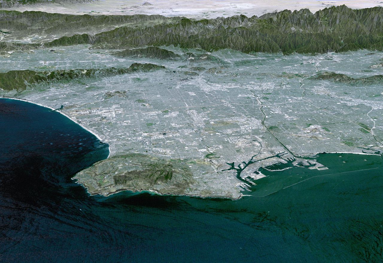


Course and tributaries
The Rio Hondo drains part of the southern San Gabriel Valley. At the Whittier Narrows the reservoir receives inflow from the San Gabriel River and from local tributaries; managers may route releases into either downstream channel, effectively linking the San Gabriel and Los Angeles River watersheds. Eaton Wash is a principal tributary and joins the Rio Hondo in its lower reaches; other smaller drains and storm channels feed the river during wet weather.
Engineering, flood control and hydrology
Much of the Rio Hondo has been modified for flood protection and conveyance: long reaches are lined with concrete (concrete) or otherwise channelized to move high flows safely through densely developed areas. The system includes levees, diversion works and spreading basins that route seasonal runoff into infiltration basins to recharge groundwater. These works are managed by a mix of municipal, county and federal agencies to balance flood control, water conservation and environmental objectives.
Ecology and open stretches
Channelization reduced riparian habitat over large stretches, but several locations retain more natural conditions. Notable open or semi‑natural areas include the Whittier Narrows Recreation Area and the Peck Road Water Conservation Park, where wetlands, riparian vegetation and managed ponds support birds and other wildlife and provide public access. Conservation and restoration projects along the Rio Hondo aim to increase native vegetation, improve habitat connectivity and enhance water quality where feasible.
Uses and public benefits
The Rio Hondo serves multiple roles: it conveys stormwater to reduce urban flooding, supplies seasonal flows used for groundwater recharge in spreading basins, and provides public open space and recreation in parklands adjacent to the channel. Fishing, birdwatching, trails and educational programs are available in parts of the corridor, and local agencies promote community outreach about water conservation and habitat restoration.
History and management
Indigenous peoples inhabited the watershed for millennia prior to European contact; during the Spanish and Mexican periods the river's alluvial plain supported ranching and agriculture. As the Los Angeles region urbanized in the 20th century, recurring floods led to major engineering responses including reservoirs, channel lining and diversion works that reshaped the stream into a managed urban waterway. Today coordinated planning by flood control districts, water agencies and parks departments seeks to integrate flood safety, recharge, habitat and recreation.
Access and further information
Visitors can reach parks and trailheads along the Rio Hondo and learn about local water programs through regional agency offices. For further background on the river's role within southern California's network of channels and rivers see general references on regional hydrology and urban watershed management (overview). Additional resources are available from local watershed groups and government agencies that oversee the Rio Hondo corridor (Eaton Wash and tributaries, language and name, county information, Los Angeles River connections, Whittier Narrows reservoir).
Related articles
Author
AlegsaOnline.com Rio Hondo (California) Leandro Alegsa
URL: https://en.alegsaonline.com/art/83003