
River Adur: course, ecology, history and significance
Overview of the River Adur in Sussex, England: its course from the South Downs to Shoreham-by-Sea, natural character, historical use as a harbour, and ecological and recreational importance.
The River Adur is a river in West Sussex, rising on the South Downs and flowing to the English Channel at the port town of Shoreham-by-Sea. Its catchment is fed by springs and small streams draining the chalk of the Downs and by tributaries from surrounding lowlands. The lower reaches form a tidal estuary that has supported navigation and harbour activity for many centuries.
Image gallery
2 Images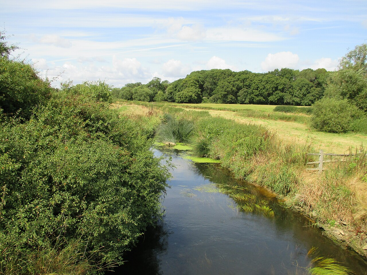

Course and characteristics
The Adur begins in the higher ground of the South Downs and descends through a mixture of rolling downland, agricultural plain and marshy valley before reaching the coast. Several of its headwaters exhibit the clear, mineral-rich conditions typical of chalk-fed streams. Below the Downs the river meanders across floodplain and wetland, and near the coast the channel broadens into an estuary that is influenced by tides and shingle movement.
History and human use
Communities along the Adur have long used the river for transport, milling and fishing. The estuary and the town of Shoreham-by-Sea developed as a local port where goods and coastal trade were handled. Over time the mouth of the river and the position of the harbour have been shaped by coastal processes and human engineering, including revetments and harbour works. Historic sites such as medieval river crossings and riverside settlements testify to the Adur’s role in regional economy and communications.
Ecology and conservation
The mixture of chalk stream headwaters, slower lowland river, wetlands and estuarine habitat supports a variety of plants and animals. Fish, waterfowl and invertebrates make use of different reaches according to salinity and flow. Because of its ecological value and local flood-risk considerations, parts of the Adur and its valley are the focus of conservation management and habitat restoration projects carried out by local groups and environmental agencies.
Uses, recreation and notable places
- Towns and villages along or near the river include Steyning, Henfield, Bramber and Shoreham-by-Sea, where the estuary meets the sea.
- Recreational uses include walking along riverside paths, angling in appropriate stretches, birdwatching on the marshes, and boating in the tidally navigable lower reaches.
- Local landmarks and heritage sites near the river illustrate historical ties between settlement and waterborne trade.
Further information about the river’s geography and management may be found through local authorities and conservation organisations: see regional mapping and river guides for Sussex, background on the South Downs environment in southern England, and port and harbour information for Shoreham and its harbour. The River Adur continues to be valued for its natural variety, cultural history and role in the coastal landscape.
Related articles
Author
AlegsaOnline.com River Adur: course, ecology, history and significance Leandro Alegsa
URL: https://en.alegsaonline.com/art/83084