Mount Saint Elias
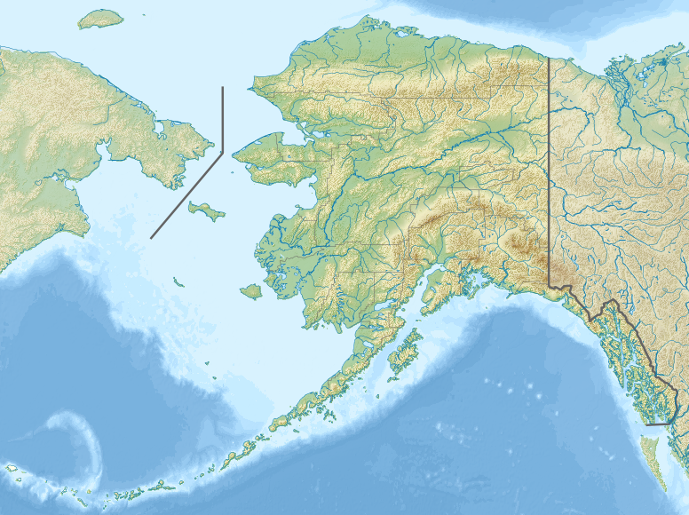
A prominent peak on the Alaska–Yukon border, Mount Saint Elias (5,489 m) is the second-highest mountain in both Canada and the United States and is noted for its dramatic rise from sea level.
Overview
Mount Saint Elias rises to 5,489 metres (18,009 ft) on the international frontier between Canada and the United States. It is officially listed as Boundary Peak 186 on border charts and is the second-highest summit for both countries. The mountain occupies a prominent position on the international boundary between the state of Alaska and the territory of the Yukon.
Image gallery
7 Images


Geography and physical features
Part of the Saint Elias Mountains, this peak is famed for its steep relief: it rises sharply from near tidewater to its summit over a relatively short horizontal distance, producing one of the most dramatic vertical profiles in the North American range of coastal peaks. Permanent icefields, extensive glaciers and frequent storms shape its faces and make the mountain heavily glaciated. The immediate landscape combines rugged rock spires, crevassed glaciers and avalanching snow slopes, typical of high coastal mountains.
History and naming
The peak was among the first North American mainland mountains observed by early European seafarers when Russian explorers sighted the coast in the mid-18th century. Its name commemorates the Christian saint often associated with the day of first sighting. Later mapping and boundary surveys gave it the technical designation Boundary Peak 186 (a boundary identifier used in bilateral charts).
Climbing, protection and significance
Mount Saint Elias presents serious challenges to climbers: harsh weather, heavy glaciation, objective hazards and technical climbing on steep, icy terrain. The first recorded ascent was accomplished in 1897 by an expedition led by the Italian mountaineer Luigi Amedeo, Duke of the Abruzzi. Today the mountain lies adjacent to internationally important protected areas and is a subject of scientific interest for glaciologists and climatologists studying coastal mountain glaciers and climate effects.
- Elevation: 5,489 m (18,009 ft)
- Location: On the Alaska–Yukon border, inside or bordering major parklands
- Alternate name: Boundary Peak 186
- Notable fact: Exceptional local relief and intense glaciation
For readers seeking further maps, historical accounts or climbing reports, consult specialized resources and park authorities to ensure up-to-date safety and access information.
Related articles
Author
AlegsaOnline.com Mount Saint Elias Leandro Alegsa
URL: https://en.alegsaonline.com/art/67086
Sources
- peakbagger.com : "Mount Saint Elias, Alaska/Yukon Territory"
- summitpost.org : "Saint Elias Mountains"
- geonames.usgs.gov : "Mount Saint Elias"
- peakware.com : "Mount Saint Elias"
- bivouac.com : "Mount Saint Elias (Boundary Peak 186)"
- commons.wikimedia.org : Mount Saint Elias
- wikidata.org : wikidata.org/wiki/Q770496
- d-nb.info : 4737020-8
- id.loc.gov : sh97002889
- viaf.org : 242753959
- worldcat.org : 242753959