
Mount Cayley: eroded stratovolcano in British Columbia's Garibaldi Belt
Mount Cayley is an eroded stratovolcano in southwestern British Columbia, part of the Garibaldi Volcanic Belt and the Cascade Arc. It is monitored for seismic and glacial hazards and has a documented eruption scenario.
Overview
Mount Cayley is a heavily eroded stratovolcano located in southwestern British Columbia, Canada. The mountain sits about 11 km southeast of Callaghan Lake and roughly 24 km west of Whistler. It belongs to the Garibaldi Volcanic Belt, which is a northern segment of the larger Cascade Volcanic Arc. Geologically, Mount Cayley combines remnants of older volcanic edifices with more recent dome and lava flow features.
Image gallery
7 Images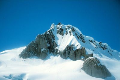

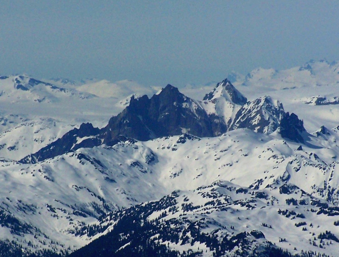


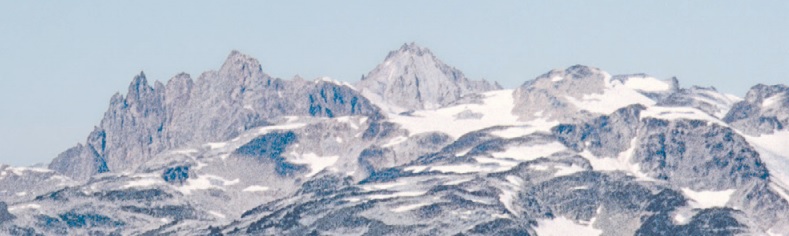

Physical characteristics
Mount Cayley is commonly described as an eroded stratovolcano. Its present appearance reflects extensive glacial and weathering modification: valleys carved by ice, collapse of older flanks, and exposure of intrusive and extrusive rock. The broader area includes the Mount Cayley volcanic field, a zone of scattered volcanic centers, lava domes, and pyroclastic deposits rather than a single youthful cone. Glaciers and perennial snowfields interact with volcanic terrain, increasing the potential for meltwater-driven hazards during unrest.
History and monitoring
There is no record of historically observed large eruptions at Mount Cayley in written colonial-era records, but geological mapping and dating show multiple episodes of volcanic activity in the Holocene and late Pleistocene. Modern monitoring emphasizes seismicity, deformation and glacier behavior. Scientists such as Catherine Hickson have been involved in hazard assessment work. The first detectable signs of renewed activity would likely be an increase in local earthquakes and ground movement, as discussed in technical advisories and studies (seismic monitoring).
Hazards and a regional scenario
Authorities and researchers have developed eruption scenarios to understand how Mount Cayley could affect nearby communities and infrastructure. A 2003 technical scenario (2003 scenario) explored combinations of effusive dome growth and explosive activity. Key concerns include rapid melting of snow and ice, valley flooding, lahars (volcanic mudflows), ash fall and localized pyroclastic flows. Because major transportation routes and settlements lie in adjacent valleys, concentrated infrastructure increases vulnerability (valley infrastructure).
- Lahars: sudden floods that can travel long distances along river channels.
- Ash fall: disruption to air traffic and local health and utilities.
- Pyroclastic material: hazards for areas close to vent locations.
Local importance and preparedness
Mount Cayley is both a subject of scientific interest and a regional hazard whose impacts would extend beyond the immediate slopes. Emergency planners emphasize early detection (increased seismicity and melting) and route protection because flooding could threaten the regional scenario outcomes described in hazard studies. Monitoring networks and public education aim to reduce risk, with ongoing geological fieldwork and mapping sponsored by national agencies in Canada.
Notable facts and distinctions
Unlike single-peaked, youthful stratovolcanoes, Mount Cayley represents a complex of eroded volcanic centers and lava domes. Its setting within the Garibaldi Belt links it to the tectonic processes of the Cascadia subduction zone, the larger context for volcanism in the Pacific Northwest. Because of its mixed eruptive styles and glacial cover, Mount Cayley exemplifies how volcanic hazards in mountainous temperate regions combine both eruptive and hydrologic threats, making monitoring and scenario planning essential for nearby communities.
For more detailed geological summaries and maps, consult regional volcanology resources and specialized reports on stratovolcano classification or institutional advisories available through public science portals (volcanic field summaries, Garibaldi Belt studies). Additional reading and monitoring updates can be found via official agencies and research publications referenced in hazard assessments (local guides, Cascade Arc reviews, seismic pages).
Related articles
Author
AlegsaOnline.com Mount Cayley: eroded stratovolcano in British Columbia's Garibaldi Belt Leandro Alegsa
URL: https://en.alegsaonline.com/art/67012
Sources
- apps.gov.bc.ca : "Mount Cayley" · web.archive.org
- commons.wikimedia.org : Mount Cayley