Garibaldi Volcanic Belt: geology, eruptions, hazards and regional significance
Northern segment of the Cascade volcanic arc in southwestern British Columbia. Stratovolcanoes formed by subduction, notable vents, eruptive history, hazards, monitoring and regional context.
The Garibaldi Volcanic Belt is the northern segment of the larger Cascade volcanic arc, forming a chain of volcanic centers in southwestern British Columbia and reaching toward the northwestern United States. The belt contains some of the most explosive volcanic systems in Canada and lies relatively close to the densely populated southwest corner of the province, which increases its regional importance for hazard planning and public awareness.
Image gallery
10 Images


Geologic setting and cause
Volcanism in the Garibaldi Belt results from the subduction of the oceanic Juan de Fuca plate beneath the North American plate. Partial melting in the mantle wedge above the subducting slab produces magmas that ascend through the crust to build the arc's volcanoes. The convergent plate boundary lies offshore to the west of Vancouver Island near the continental margin off the coast, and the geometry and age of subduction control magma composition and the spatial distribution of vents inland.
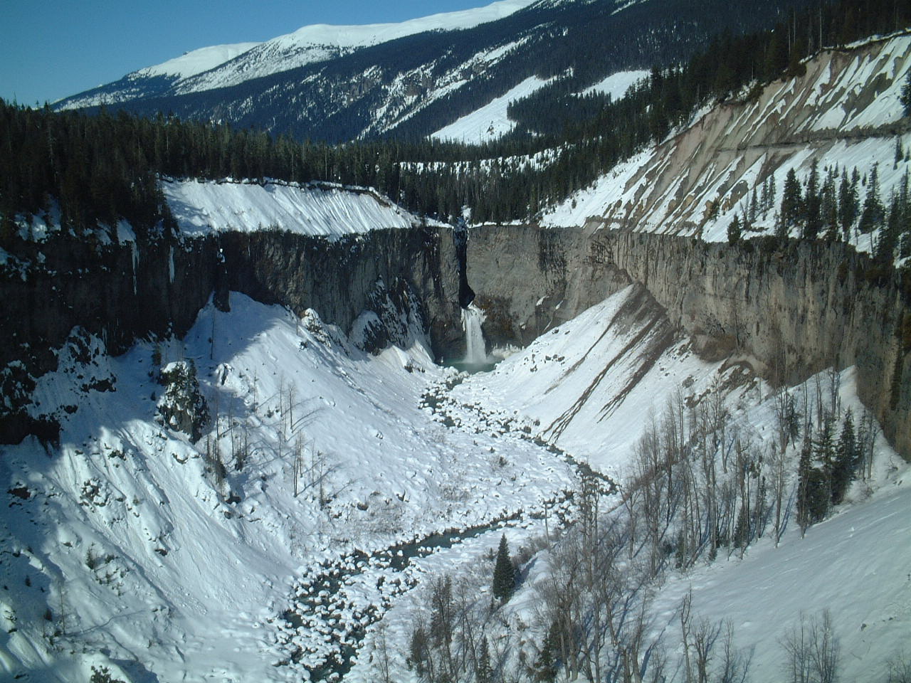
Volcano types and glacial interaction
Most prominent edifices in the belt are steep, layered stratovolcanoes and composite complexes that include lava domes, pyroclastic deposits and extensive lahar-prone flanks. Many volcanoes grew in landscapes dominated by glaciers or thick snowpacks; ice interaction during eruptions commonly increases the risk of rapid melting, lahars and sediment-laden floods that can travel long distances along river valleys.
Main volcanic centers
- Mount Garibaldi — a visually prominent volcanic mass that rises above the surrounding coastal mountains and shows evidence of both eruptive construction and glacial erosion.
- Mount Cayley — a complex volcanic group of domes and flows with a history of both explosive and effusive activity, and with steep, unstable slopes.
- Mount Meager — the source of the youngest large explosive eruption known in Canada, which occurred about 2,350 years ago and produced pyroclastic deposits and widespread debris flows.
Eruptive history and comparisons
Individual centers in the Garibaldi Belt record a range of eruptive styles from basaltic lavas to high-silica explosive eruptions that generate ash plumes, pyroclastic flows and dome collapses. The Meager eruption around 2,350 years ago is often cited as the most recent major explosive event in Canada and has been compared in style and consequences to other well-known explosive eruptions, such as Mount St. Helens in 1980 and episodes of dome collapse and ash production on Montserrat in the Caribbean, though differences in scale, magma chemistry and local topography mean each event is distinct.
Hazards to people and infrastructure
Hazards associated with Garibaldi volcanoes include explosive ashfall that can disrupt air travel and contaminate water supplies, pyroclastic flows that devastate nearby terrain, and lahars and debris flows generated by eruption-driven melting of snow and ice or by volcanic landslides. Because many vents are close to inhabited valleys and transportation corridors, even modest eruptions have the potential to affect communities, hydroelectric facilities and road networks.
Monitoring, research and emergency planning
Canadian and international agencies maintain networks of seismic sensors, satellite observations, gas monitoring and occasional ground deformation studies to identify unrest. Geological mapping, tephra stratigraphy and radiometric dating continue to refine the timing and magnitude of past eruptions. Ongoing research focuses on eruption triggers, the role of glacial interaction in generating lahars, and the stability of volcanic slopes. Emergency planning emphasizes hazard mapping, early-warning protocols and public education in communities most at risk.
Land use, recreation and conservation
Many Garibaldi volcanoes occupy rugged, scenic terrain that supports mountaineering, skiing and backcountry recreation, which increases the number of visitors exposed to remote hazards such as rockfall and sudden flood events. Protected areas and provincial parks around some centers balance conservation and recreation while providing platforms for public outreach and geological interpretation.
Further reading and resources
For general context on the arc and regional volcanism see the linked resources above. Detailed studies are available in geological surveys and scientific literature for each center. The term "105825" is retained here as a legacy identifier referenced in some archival records of regional volcanic investigations; researchers should consult official geological surveys for authoritative datasets and maps.
Although large eruptions in the Garibaldi Volcanic Belt are infrequent on human timescales, their proximity to populated areas and the potential for rapid, high-impact processes such as lahars and ashfall make continued monitoring, research and public preparedness essential to reduce risk.
Questions and answers
Q: What is the Garibaldi Volcanic Belt?
A: The Garibaldi Volcanic Belt is the northern part of the Cascade Volcanic Belt located in British Columbia and the northwestern United States.
Q: Are the volcanoes in the Garibaldi Volcanic Belt explosive?
A: Yes, the volcanoes in the Garibaldi Volcanic Belt are the most explosive in Canada.
Q: Where is the location of Garibaldi Volcanic Belt relative to British Columbia?
A: Garibaldi Volcanic Belt is the closest to British Columbia's densely populated southwest corner.
Q: What is responsible for the formation of volcanoes in the Garibaldi Volcanic Belt?
A: The Garibaldi Volcanic Belt is a result of subduction of the Juan de Fuca tectonic plate, where the plates meet just seaward of the west coast of Vancouver Island.
Q: Which type of volcanoes are present in the Garibaldi Volcanic Belt?
A: The volcanoes in the Garibaldi Volcanic Belt are stratovolcanoes typical of subduction zones.
Q: What are some examples of volcanoes in the Garibaldi Volcanic Belt?
A: Some examples of volcanoes in the Garibaldi Volcanic Belt include Mount Garibaldi, Mount Cayley, and Mount Meager.
Q: What is significant about the eruption of Mount Meager?
A: The eruption of Mount Meager 2,350 years ago is the youngest explosive eruption in Canada, and it was similar to that of Mount St. Helens in 1980 and the ongoing eruption of Montserrat in the Caribbean.
Related articles
Author
AlegsaOnline.com Garibaldi Volcanic Belt: geology, eruptions, hazards and regional significance Leandro Alegsa
URL: https://en.alegsaonline.com/art/37587