
Mount Cheaha — Highest Point in Alabama
Mount Cheaha (Cheaha Mountain) is Alabama's highest point at 2,407 ft (734 m). Part of the Talladega Range and in Cheaha State Park, it features quartzite outcrops, trails, overlooks and CCC-era structures.
Overview
Mount Cheaha, often called Cheaha Mountain, is the highest natural point in Alabama, with a summit elevation of 2,407 feet (734 meters). The peak lies within Cheaha State Park and forms a prominent high point on the Talladega Range, itself the southernmost exposed portion of the Appalachian Mountains. The site offers broad views across northeastern Alabama and has long been a focal point for recreation and regional conservation.
Image gallery
8 Images


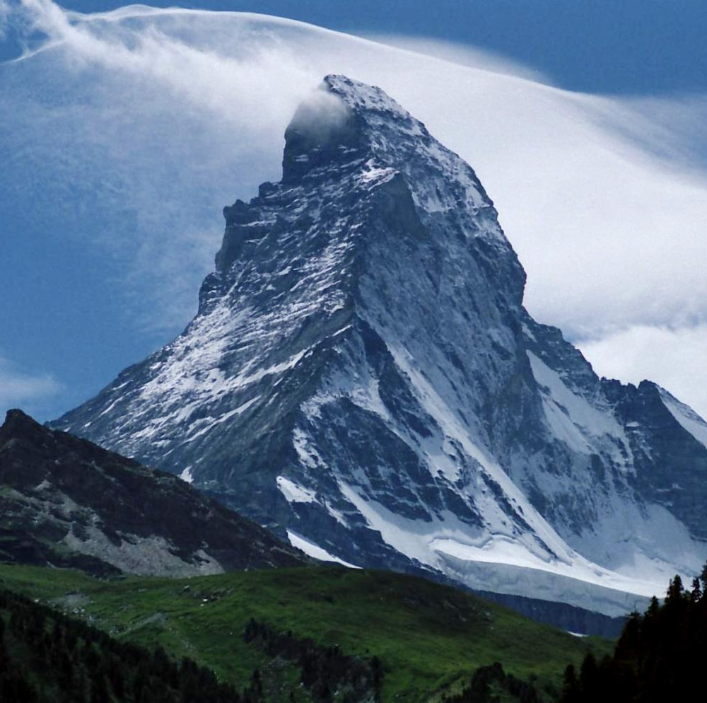

Geology and landscape
The mountain's summit and ridges are composed mainly of resistant quartzite, a hard metamorphic rock that has helped preserve the elevation as surrounding areas eroded over geologic time. These durable outcrops create exposed ledges and cliffs that are characteristic of the region. Mount Cheaha is commonly described as part of the Talladega Mountains and the broader Appalachian physiographic province.
Natural environment
The vegetation around the summit reflects mixed hardwood forest typical of the southern Appalachians, with oak and hickory among the dominant canopy species and a variety of understory plants. Higher, exposed areas can be noticeably cooler and receive more precipitation than nearby lowlands, creating localized ecological conditions valued by naturalists and birdwatchers.
History and human use
People have visited the Cheaha area for centuries. In the 20th century the mountain and adjoining lands were developed for public recreation. During the 1930s the Civilian Conservation Corps constructed trails, overlooks, and stone structures that remain important features of the park and reflect early conservation and park-design efforts.
Recreation and facilities
Cheaha State Park manages a range of visitor services, including campgrounds, rental cabins, picnic areas and day-use overlooks. Trails of varying length and difficulty start from the summit zone and connect to longer regional routes; the area is popular for hiking, photography and observing seasonal foliage. Up-to-date visitor guidance, maps and elevation information are maintained by park authorities and can be consulted through official resources: park elevation and visitor info and park services.
Trails and connections
Several trail systems and routes run through or near the park, providing options for short walks and extended backpacking trips. Hikers interested in regional trail networks should consult maps and trail descriptions before setting out, and be prepared for changes in weather and terrain at higher elevation.
Significance and visitation
As Alabama's high point, Mount Cheaha attracts visitors who seek scenic viewpoints, natural history, and the challenge of reaching a state's summit. The combination of distinctive quartzite geology, CCC-era built features, managed facilities and accessible trails makes the area valuable for education, recreation and conservation. For more on the local geology and quartzite formations see: geology of quartzite formations, and for regional context consult resources on Talladega and the Talladega Range.
Location
The mountain is located in Talladega County, with the city of Talladega the nearest notable urban center. Visitors planning a trip to the summit will find the park offers developed access, interpretive information and basic services intended to support safe and responsible enjoyment of this prominent Alabama landmark.
Related articles
Author
AlegsaOnline.com Mount Cheaha — Highest Point in Alabama Leandro Alegsa
URL: https://en.alegsaonline.com/art/67013