Valley — formation, types, parts, and human significance
A valley is an elongated low area between higher landforms, shaped by water, ice or tectonics. This article explains valley parts, formation processes, common types, ecological roles and human uses.
Overview — A valley is an elongated depression between higher ground such as hills or mountains. As a common landform, valleys vary in scale from small stream-carved hollows to vast troughs cut by long-lived glaciers or by crustal movements. They provide routes for water, vegetation and people, and their shape records the dominant forces that made them.
Image gallery
10 Images


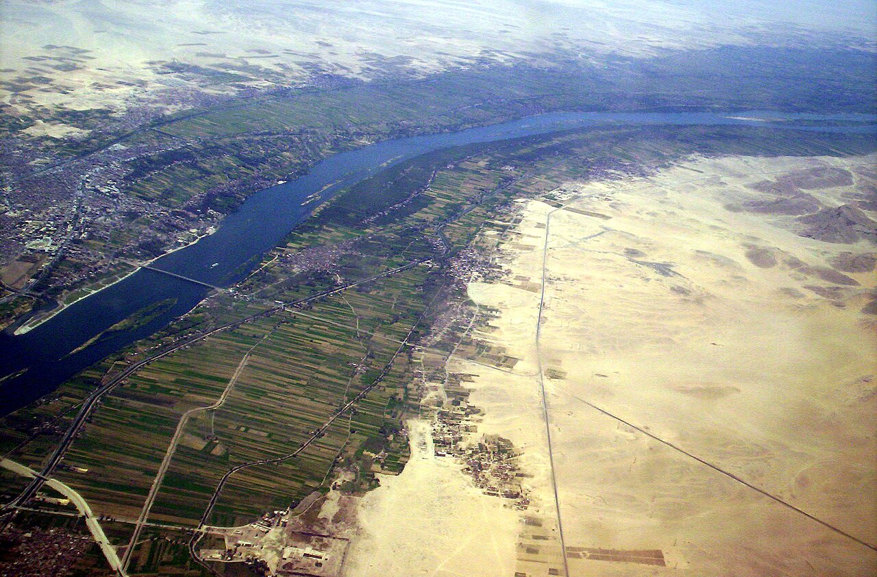
How valleys form
Valleys develop through several Earth processes. Flowing water in a stream or river incises bedrock and deposits sediment, producing the characteristic long, narrow troughs of fluvial valleys. Moving glaciers, which are masses of compacted ice, carve broader, smoothly rounded U-shaped profiles. Tectonic forces can create rift valleys where the crust pulls apart, leaving a linear low area. Over time, agents like erosion and wind modify valley walls and floors, widening or deepening the feature. Mass wasting and landslides also alter valley slopes.
Main parts of a valley
- Head — the upper end or source area where a valley begins, often in uplands or mountain cirques.
- Sides — the rising slopes or walls that bound the valley, sometimes steep cliffs or gentler hills.
- Floor — the relatively flat or gently sloping bottom where rivers, floodplains, or lakes may lie.
- Entrance — the opening from lower country into the valley, which can be narrow or broad; narrow, steep-walled sections are often called a cliffs-bounded gorge.
Types and distinguishing shapes
Valleys are commonly described by their cross-sectional profile or origin. V-shaped valleys are typical of active river downcutting; U-shaped valleys indicate glacial sculpting. Rift valleys are the product of crustal extension. Other forms include hanging valleys (where a smaller tributary valley meets a deeper main valley), canyons and gorges (deep, narrow, steep-walled valleys), and broad alluvial valleys with extensive floodplains and terraces.
Human uses, ecology and importance
Valleys often concentrate fresh water, fertile soils and more sheltered climates, making them favorable for agriculture, transport corridors and settlements. They support distinctive ecosystems: riparian habitats along river corridors, montane woodlands on valley slopes, and wetland areas on valley floors. Because they channel water and sediment, valleys also influence flood risk, groundwater recharge and sediment delivery to downstream lakes and coasts.
Notable facts and considerations
Valleys reveal past environmental conditions: a U-shape implies former glaciation, a set of terraces records changes in river level, and alignment with faults can indicate tectonic origin. Their slopes may be prone to erosion and slope failure, and human activity—deforestation, river engineering, road-building—can change how a valley functions. For additional illustration and resources on valley landforms and processes, consult general overviews on landforms, fluvial systems (rivers and streams), glaciers and erosion dynamics, or studies of wind and slope behavior.
Questions and answers
Q: What is a valley?
A: A valley is a type of landform that sits between two higher parts which might be hills or mountains.
Q: How do valleys form?
A: Valleys often start as a downward fold between two upward folds in the surface of the Earth, and sometimes as a rift valley.
Q: What makes a valley deeper?
A: A valley is made deeper by a stream of water or a river as it flows from the high land to the lower land, and into a lake or sea.
Q: How are some valleys made?
A: Some valleys are made by glaciers which are slow-moving rivers of ice.
Q: What can make a valley wider?
A: Water or ice can make a valley deeper or wider by erosion. Wind can also make valleys larger by erosion.
Q: What are the different parts of a valley?
A: A valley has a "head" where it begins in the mountains or hills, "sides" where it rises up on either side, a "floor" which is where the valley is most flat, and sometimes an "entrance" where the valley opening can be seen between two hills or mountains or cliffs.
Q: Why do many people live in valleys?
A: Many of the people of the world live in valleys because there is often a river or stream in a valley for fresh water, and there is often good soil in a valley to grow crops.
Related articles
Author
AlegsaOnline.com Valley — formation, types, parts, and human significance Leandro Alegsa
URL: https://en.alegsaonline.com/art/104076