
Matajur — mountain on the Slovenia–Italy border
Matajur is a 1,642 m peak in the Julian Alps on the Slovenia–Italy border. Noted for its prominence, panoramic views and First World War history, it is popular for hiking and regional cultural significance.
Overview
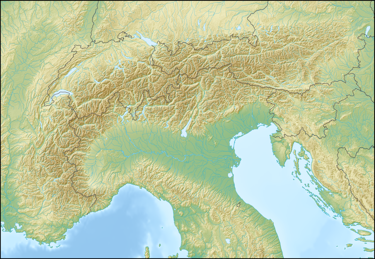
Matajur rises to 1,642 metres above sea level in the Julian Alps on the frontier between Slovenia and Italy. It stands where the Soča valley meets the area commonly called Venetian Slovenia and offers long clear views that can extend to the Adriatic Sea on fine days. The mountain’s measured topographic prominence is notable, which makes it a visually dominant landmark across the surrounding landscape.
Image gallery
3 Images

Geology, vegetation and wildlife
Matajur is composed largely of limestone and other sedimentary rocks typical of the Julian region. Its slopes feature a transition from mixed broadleaf and conifer woodlands at lower elevations to subalpine grasslands and shrubs nearer the summit. Traditional pastoral use has shaped the lower pastures, and seasonal grazing remains part of the local land use. Wildlife is characteristic of pre‑Alpine and lower Alpine zones, with small mammals, birds and invertebrates adapted to rocky and grassy habitats.
History
The mountain long marked a regional boundary and has been an observation and communication point for centuries. During the First World War, in the October 1917 operations associated with the Battle of Caporetto, contemporary reports record that a small German‑led force under the command of then‑lieutenant Erwin Rommel seized the summit; published accounts differ in particulars, so descriptions of troop numbers and tactics should be read with caution. The action has since entered local and military histories of the Italian Front and contributes to Matajur’s place in cross‑border memory.
Access and recreation
Matajur is a popular destination for day hikers and nature enthusiasts. Established paths approach the summit from villages in the Soča valley as well as from settlements on the Italian side. Walks vary from steep footpaths to less demanding ridge routes; summer ascents generally do not require technical climbing but can be strenuous. Winter conditions bring snow and ice, so appropriate equipment and experience are necessary. Trail maps, local guides and up‑to‑date weather information are recommended before setting out.
Significance and visitor information
The mountain straddles linguistic and cultural regions, providing insights into the mixed Slovene and Italian heritage of the borderlands. Its prominence and open summit make Matajur a valued viewpoint for photographers, naturalists and anyone interested in regional geography. Visitors are asked to respect grazing areas, stay on marked trails and consult conservation advice from local authorities for seasonal restrictions and safety. For further regional background consult general country resources for Slovenia and Italy.
- Elevation: 1,642 m; prominence significant in the local topography (see prominence).
- Location: on the border of Slovenia and Italy, overlooking the Adriatic Sea region.
- Historical note: action in October 1917 during the Battle of Caporetto involved a small German‑led assault under Erwin Rommel, widely recounted in histories of the Italian Front.
- Approaches: multiple waymarked trails from the Soča valley and from Italian side villages; conditions vary seasonally.
Related articles
Author
AlegsaOnline.com Matajur — mountain on the Slovenia–Italy border Leandro Alegsa
URL: https://en.alegsaonline.com/art/62766