Maule Region (Región del Maule) — VII Region of Chile
Central Chilean region centered on the Maule River; agricultural and wine-producing landscape with Andean foothills, coastal influence, and provincial centers such as Talca, Curicó, Linares and Cauquenes.
The Maule Region, officially the VII Region, lies in central Chile and takes its name from the Maule River, a principal watercourse that shapes the region’s valleys and irrigation systems. Its administrative capital is Talca. The general location can be indicated by coordinates (35°26′S 71°40′W), placing the region between Chile’s coastal plain and the higher elevations of the Andes and within the temperate zone of central Chile. In Spanish the region is known as Región del Maule.
Image gallery
8 Images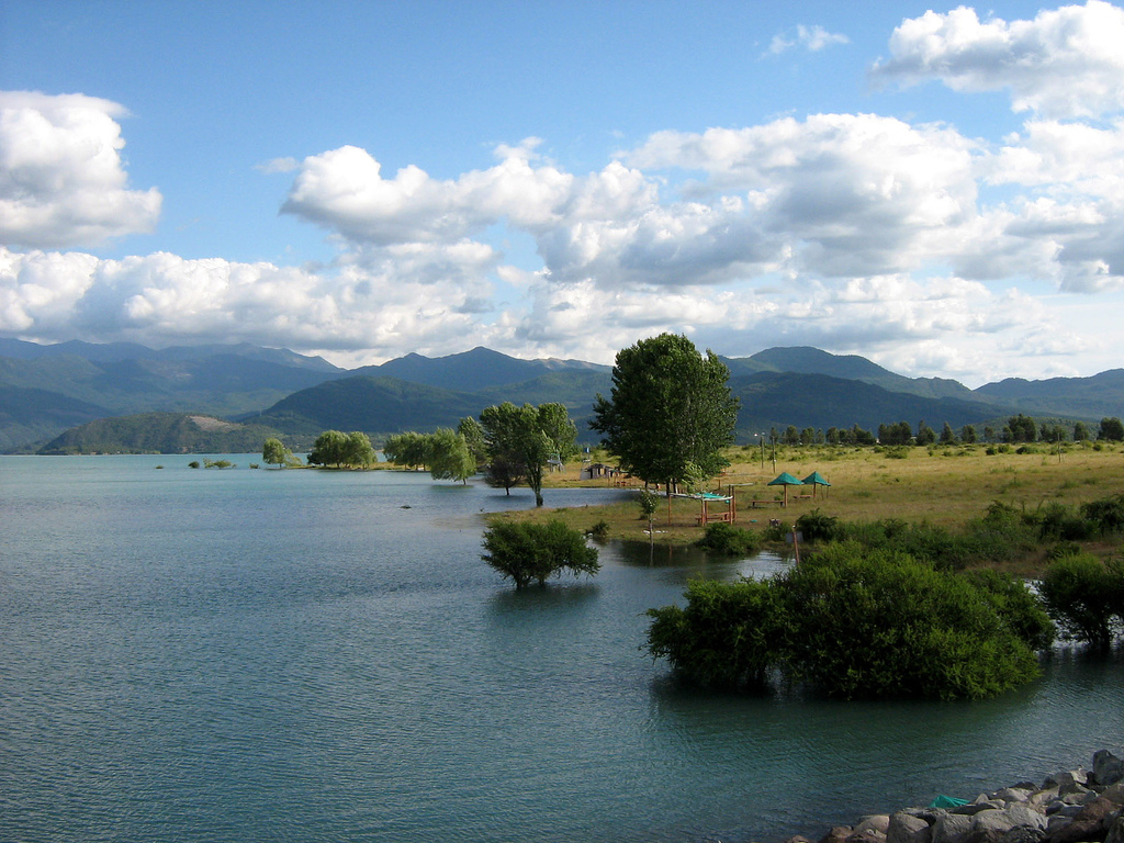


Overview and administration
The Maule is one of Chile’s first-order administrative units and is organized into several provinces and communes under the national framework of administrative divisions. Provincial seats and medium-size cities provide government services, commerce and education for largely rural hinterlands. Local governance coordinates agricultural policy, water use and infrastructure across a landscape of valley plains and mountainous terrain.
Geography and climate
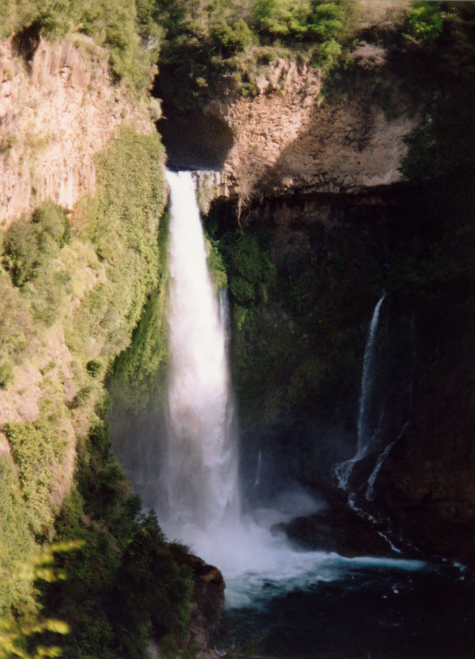
Topographically the region ranges from coastal areas and lowland valleys to Andean foothills. The climate in the central valleys is typically Mediterranean: cool, rainy winters and warm, dry summers, with colder and wetter conditions at higher elevations where snow can accumulate seasonally. Rivers fed by Andean snowmelt and rainfall are vital for irrigation, hydroelectric uses and ecosystems.
Economy and land use
Agriculture is the dominant economic activity. The Maule is widely known for viticulture and wine production, as well as fruit orchards, cereals and livestock. Forestry and agroindustry, including food processing and exports, complement farm activity. Small hydroelectric installations and irrigation infrastructure make river management a central concern for local development and environmental planning.
History, culture and cities
The region has a layered cultural history, with indigenous Mapuche presence before Spanish colonial settlement and later integration into the Chilean republic. Cultural life combines rural traditions, agricultural festivals and urban services. Major urban centers include Talca, Curicó, Linares and Cauquenes, each serving as economic and cultural hubs for surrounding rural communes.
Provinces, environment and points of interest
- Administrative provinces provide local government and often correspond to major river basins and transport corridors.
- Natural attractions include river valleys, scenic Andean foothills and coastal stretches that support recreation and biodiversity.
- The Maule River remains central to regional identity and resource use, influencing agriculture, settlement and conservation priorities.
For maps, official descriptions and further administrative detail consult regional resources and overviews of the country’s administrative divisions. General information about Chile’s geography and regions can provide broader context about where the Maule sits within Chile. The region’s coordinates and location are recorded at the coordinate reference.
Questions and answers
Q: What are the coordinates of the VII Maule Region?
A: The coordinates of the VII Maule Region are 35°26′S 71°40′W / 35.433°S 71.667°W / -35.433; -71.667.
Q: What is the capital of the VII Maule Region?
A: The capital of the VII Maule Region is Talca.
Q: How many first order administrative divisions does Chile have?
A: Chile has 16 first order administrative divisions.
Q: What is this region named after?
A: This region is named after its main river, the Maule river.
Q: How many regions does Chile have in total?
A: Chile has a total of 16 regions in total.
Related articles
Author
AlegsaOnline.com Maule Region (Región del Maule) — VII Region of Chile Leandro Alegsa
URL: https://en.alegsaonline.com/art/62933
Sources
- inemaule.cl : "Región de Maule"
- ine.cl : "Población país y regiones - Actualización 2002-2012 y Proyección 2013-2020"