Karakoram Pass
High mountain pass on the India–China frontier in the Karakoram range, historically a caravan route linking Ladakh and the Tarim basin; noted for extreme altitude, winds and glaciated terrain.
Overview
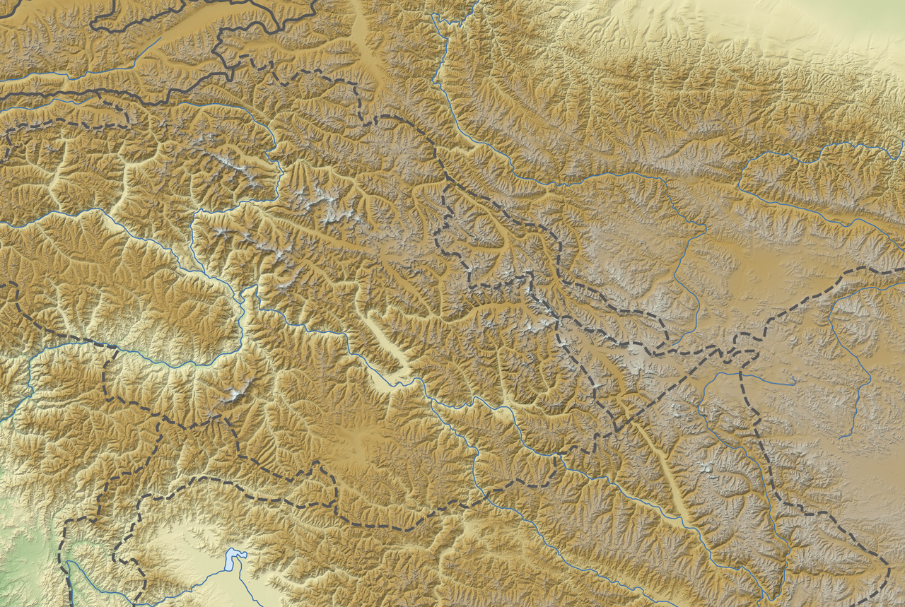
The Karakoram Pass is a high mountain crossing in the central Karakoram range that lies on the frontier between India and China. It has long been known as one of the highest traditional trans-Himalayan routes, rising to about 5,570 m (18,290 ft) above sea level. The pass forms part of the watershed between river systems draining south into the Indus and north into the Tarim basin and sits amid an austere landscape of snow, ice and exposed rock.
Image gallery
6 Images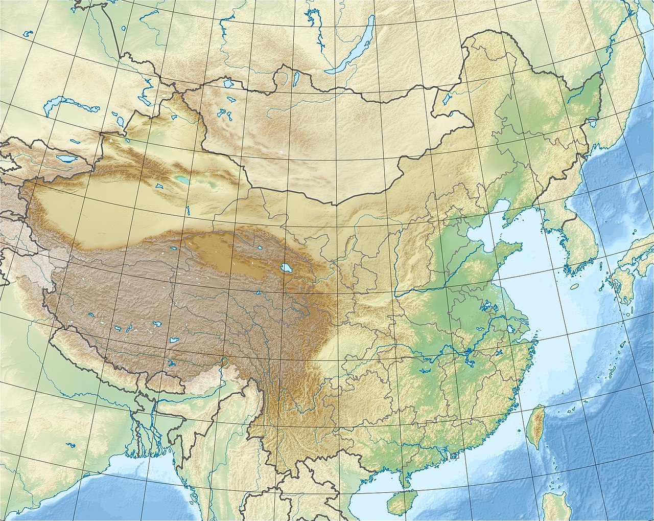


Geography and characteristics
The pass is surrounded by glaciers and steep ridgelines, with almost no vegetation or permanent water at the saddle. Conditions are dominated by violent winds, sudden weather changes and deep snow in winter; these factors make travel hazardous and increase the risk of altitude sickness. The surface is often crevassed and glacial, not a simple trodden track.
- Range: Karakoram
- Bordering states: India and China
- Elevation: about 5,570 m (18,290 ft)
- Terrain: glaciated saddle; windswept and barren
History and uses
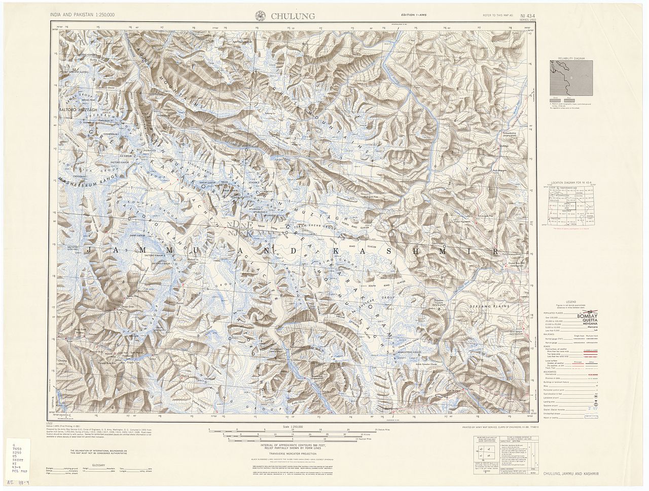
For centuries the Karakoram Pass formed part of an overland corridor used by caravans travelling between Ladakh (near modern Leh) and Yarkand and other oases of the Tarim basin. In the 19th and early 20th centuries European explorers and surveyors mapped the route as part of efforts to chart Central and South Asia. By the mid-20th century motor roads and alternative lower passes reduced its role for regular trade, though it retains historical importance as an ancient link across the high ranges.
Modern significance and access
Today the Karakoram Pass is rarely used by civilians and has limited practical access because of its extreme altitude and changing political arrangements in the border region. It remains of interest to mountaineers, historians and geographers studying high-altitude routes and the interaction of the Himalayan and Karakoram systems. For general background and mapping references see further resources: regional guides and historical summaries, or consult detailed topographic materials and travel advisories before planning any approach.
Practical travel across the pass demands specialized high-altitude equipment, experienced guides, and often official permits; many modern visitors instead use lower, engineered highways to cross adjacent ranges.
Related articles
Author
AlegsaOnline.com Karakoram Pass Leandro Alegsa
URL: https://en.alegsaonline.com/art/52275