Karimganj district, Assam — overview, history and features
Karimganj is a district in southern Assam's Barak Valley with historical ties to Sylhet. It is administered from Karimganj town and is noted for its riverine plains, cross-border connections and Bengali cultural influence.
Overview
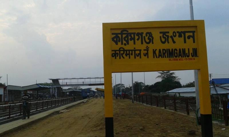
Karimganj district is an administrative unit in the Barak Valley region of the state of Assam in northeastern India. The district headquarters is the town of Karimganj. Its local Bengali name is given as করিমগঞ্জ জিলা. The area combines low-lying alluvial plains, river channels and patches of higher ground and has close cultural and social ties with neighbouring Sylhet across the international border.
Image gallery
5 Images


Geography and administration
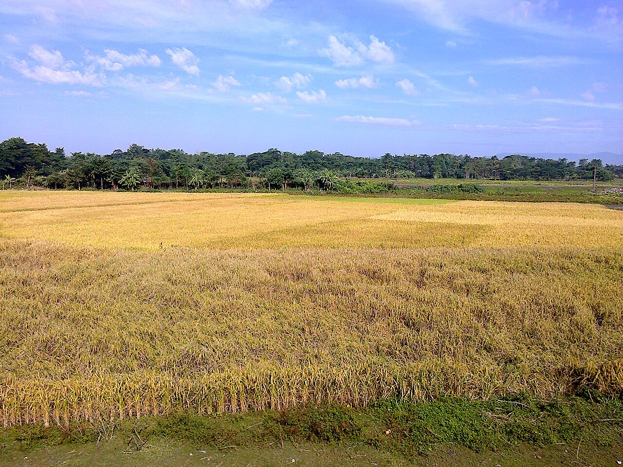
Karimganj lies along the southern fringe of Assam and is part of the Barak Valley system. The landscape is largely floodplain and agricultural land. Administratively it is organised into sub-divisions and development blocks that manage local governance, rural development and civic services. The district is served by road and rail connections linking it to other parts of the state and to cross-border routes.
History and origin
The territory of present-day Karimganj was historically associated with the larger Sylhet region under pre-colonial and colonial arrangements. During the partition of British India in 1947 the boundaries in this area were reshaped; parts of Sylhet went to East Pakistan (now Bangladesh) while Karimganj remained in India. Because of these historical links, some people in neighbouring Bangladesh regard Karimganj as culturally part of Sylhet Sylhet Division, though it is administered by India.
Society, language and economy
The district has a mixed population with Bengali language and the Sylheti dialect commonly used alongside Assamese and other regional tongues. Economic life is primarily rural and agricultural, including rice cultivation, horticulture and small-scale farming, supplemented by trade, labour migration and services in urban centres. Local markets and seasonal fairs reflect the district's cultural rhythms.
Transport, facilities and notable facts
- Transport: connected by regional roads and rail; local river channels have transport and fisheries importance.
- Education and health: a network of schools, colleges and primary health centres serve towns and villages.
- Cross-border linkages: historical, linguistic and family ties across the nearby international frontier influence commerce and social life.
For administrative and mapping references the district is identified as an Indian administrative district in official records administrative district. Karimganj's position at the confluence of geography, history and culture makes it a distinct part of the Barak Valley with ongoing local development and cross-border significance.
Further reading and local resources can be consulted through regional government and cultural sources for up-to-date administrative details and services national context.
Related articles
Author
AlegsaOnline.com Karimganj district, Assam — overview, history and features Leandro Alegsa
URL: https://en.alegsaonline.com/art/52309