
Google Maps
Google Maps is a web-based mapping service providing maps, satellite imagery, Street View, directions, traffic data and APIs for navigation, local search and location-based applications.
Overview
Google Maps is a digital mapping platform that provides interactive road maps, satellite imagery and panoramic street-level photographs of many locations worldwide. It combines global cartographic data with business listings and user-contributed content so people can find addresses, plan routes, view traffic and explore places visually. Available as a web application and as mobile apps on common platforms, it is widely used for everyday navigation, trip planning and embedding maps in third-party websites and services.
Image gallery
10 Images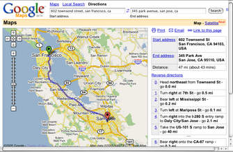




Key features
The service bundles several complementary components that help users navigate and learn about places:
- Map views: standard road maps, terrain and satellite imagery with adjustable zoom and overlays.
- Directions: turn-by-turn routes for driving, walking, cycling, and public transit, with estimated times and alternate routes.
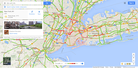
- Traffic conditions: real-time and historical traffic layers to indicate congestion and travel delays.
- Points of interest (POI): listings for businesses and landmarks with addresses, phone numbers, hours and user reviews.
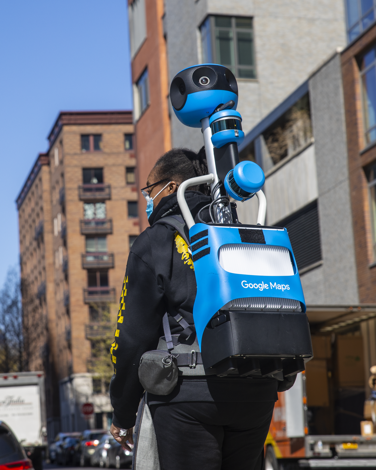
- Street View: panoramic ground-level photos that let users virtually explore streets and neighborhoods.
- Developer APIs: programmatic interfaces that let sites and apps embed maps, request routes, and access location services.
History and development
Introduced by Google in the mid-2000s, the platform evolved from earlier mapping and imaging projects and grew quickly as internet mapping and GPS-capable mobile devices became widespread. Over time Google added satellite imagery, Street View photography, richer business information and a program to enlist volunteers to improve map accuracy. The service has been updated frequently with new features, expanded coverage, and improved routing and traffic algorithms.
Technical platform and data
Google Maps runs in modern web browsers and through native mobile applications. It aggregates data from satellite and aerial imagery, municipal and commercial map sources, user contributions and on-the-ground imagery. Developers can access mapping functions via several APIs to embed maps, customize markers, compute directions, and integrate geocoding into other applications. User-contributed edits, photos and reviews are managed through community programs to keep listings and details current.
Uses, importance and limitations
People use Google Maps for everyday navigation, discovering local businesses, planning travel routes and exploring destinations before visiting. Businesses rely on it for online visibility and directions; planners and researchers sometimes use anonymized traffic and mobility data for analysis. Limitations include varying coverage and accuracy by region, occasional mapping errors, and privacy concerns related to collected location and imagery data. Google and regulators have addressed some of these issues through opt-out mechanisms and data policies.
Related resources
Further information and tools are available from official pages and documentation:
- Official product overview
- Company information
- Technology and platform details
- Satellite imagery description
- Points of interest and listings
- Directions and routing modes
- Public transit coverage
- Maps API and embedding
- Street View information
- Geographic coverage notes
- Developer platform resources
- Data formats and feeds
- Web technologies used
- Browser compatibility
- iOS app information
- Android app information
- Community and Local Guides
- Uploading photos and videos
- Related language and translation tools
- Community and reference sites
- Foundational mapping partners
Related articles
Author
AlegsaOnline.com Google Maps Leandro Alegsa
URL: https://en.alegsaonline.com/art/39687