
Google Street View
A panoramic photographic service that displays street-level imagery in mapping products, used for navigation, research, virtual tourism and urban analysis, with distinct collection methods and privacy measures.
Overview
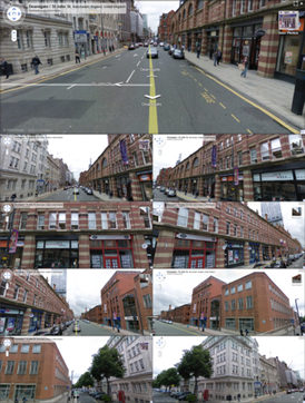
Google Street View is a feature that presents panoramic, street-level photographs together with map coordinates. It is integrated into mapping services such as Google Maps and satellite/3D viewers such as Google Earth. The service lets users look along streets, explore neighborhoods, and preview building exteriors from ground level.
Image gallery
10 Images




How imagery is collected and processed
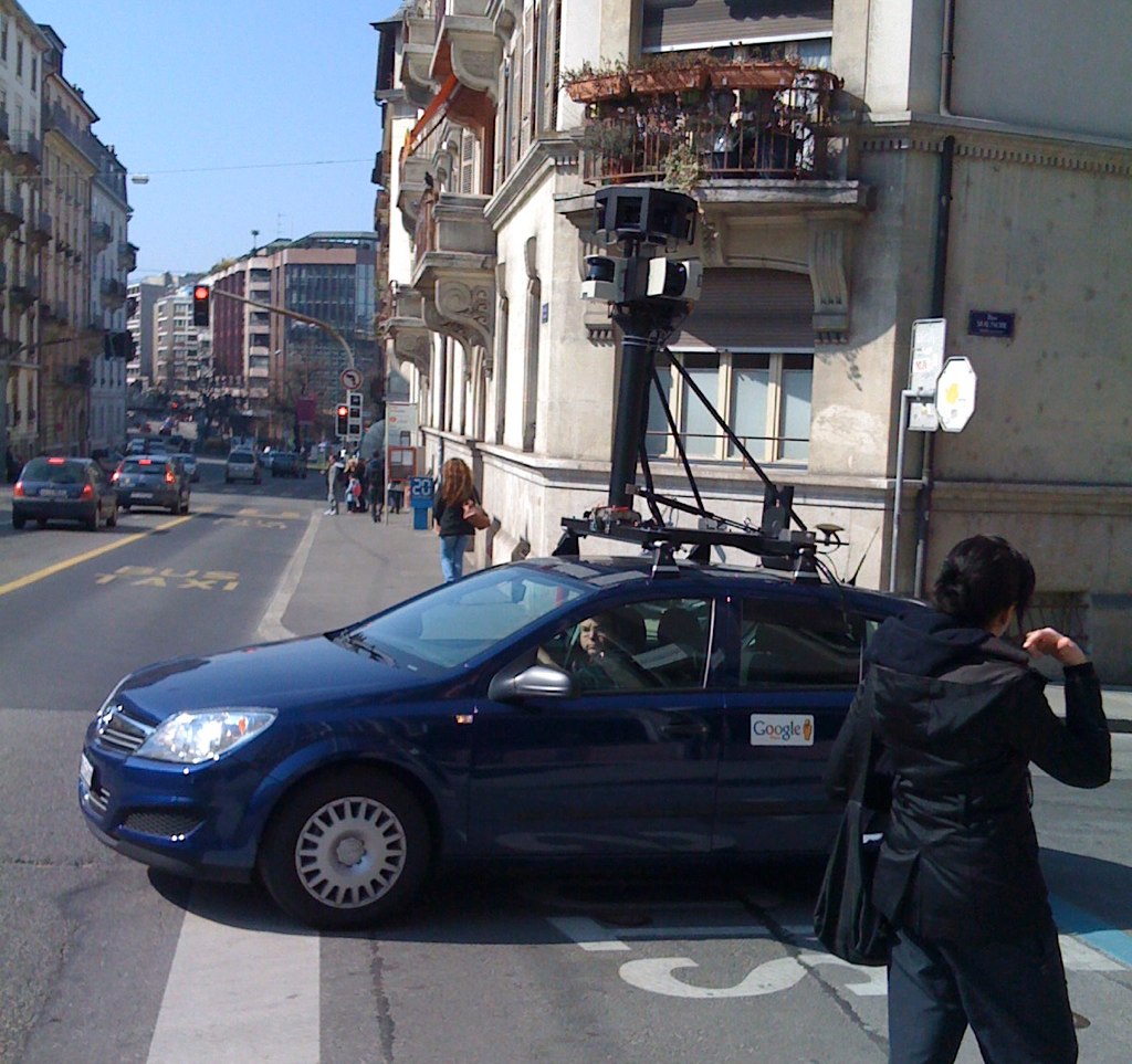
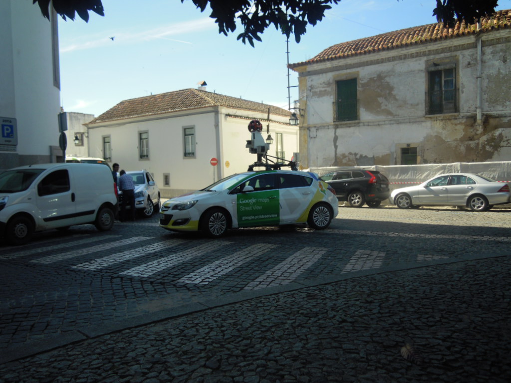
Images are gathered using a variety of platforms adapted to local terrain: multi-camera rigs mounted on cars, vans and trikes; backpack-mounted systems for trails and pedestrian areas; boats for canals and waterways; and sometimes snowmobiles or bikes. Each pass captures overlapping photographs that are stitched into 360-degree panoramas, geotagged, and aligned to map data. Automated and manual processes blur faces and vehicle license plates to protect privacy.
Uses and practical value
Street-level imagery serves many purposes beyond simple sightseeing. Common uses include:
- Route previewing and navigation, helping users recognize landmarks before they arrive.
- Real estate and business listings, offering exterior context and neighborhood views.
- Urban planning, environmental studies and historical comparisons through archived images.
- Accessibility assessments, tourism planning and remote familiarization with places.
History and development
The service was introduced in 2007 and expanded over subsequent years to cover many cities, towns and rural routes worldwide. Over time the project added indoor business photos, higher-resolution cameras, and portable systems to reach remote paths and trails. Coverage and update frequency vary by country and region; Google continues to add new imagery and update older photos periodically.
Privacy, limitations and notable distinctions
To address privacy concerns, providers generally blur personally identifying details and offer a way for property owners or individuals to request additional blurring or image removal. Limitations include uneven geographic coverage, variable image age, and occasional obstructions or stitching artifacts. Street-level panoramas differ from aerial or satellite imagery by offering an on-the-ground perspective and often more contextual detail for pedestrian-scale observation.
Access and further information
You can view street-level panoramas through mapping interfaces or by searching specific addresses and dragging the map marker into a street view. For related materials and technical documentation, consult mapping platform help pages and product guides available via Google Maps, Google Earth and resources that describe street networks and coverage policies, such as the pages linked from related street imagery.
Questions and answers
Q: What is Google Street View?
A: Google Street View is a feature used by Google Maps and Google Earth to display different streets in different parts of the world.
Q: Does Google Street View cover all parts of the world?
A: No, rural areas have little or no pictures unlike the urban areas that have a lot of pictures.
Q: When was Google Street View launched?
A: Google Street View was launched on May 25, 2007.
Q: How many countries have full or partial coverage of Google Street View?
A: Currently, Google Street View is available in 48 countries with full or partial coverage.
Q: What is the primary use of Google Street View?
A: The primary use of Google Street View is to show streets in different parts of the world to help people get better directions.
Q: Are there any cost implications for using Google Street View?
A: No, Google Street View is free to use.
Q: Which other Google features can be used alongside Google Street View?
A: Google Maps and Google Earth can be used in collaboration with Google Street View.
Related articles
Author
AlegsaOnline.com Google Street View Leandro Alegsa
URL: https://en.alegsaonline.com/art/39693
Sources
- epic.org : epic.org/privacy/googlespyfi/Keyes.pdf