Sun Kosi (Sunkoshi) — Himalayan river in Tibet and Nepal
The Sun Kosi is a Himalayan river rising near Tibet and flowing through Nepal to join the Kosi system; known for steep gorges, seasonal floods, hydropower interest and white-water rafting.
Sun Kosi (often spelled Sunkoshi) is a major Himalayan river that originates in high mountains near Tibet and flows southwest through Nepal. It is one of the principal headstreams of the larger Kosi system, which continues into India. The name combines a local word and a Nepali term: in Nepali 'sun' means gold and 'kosi' denotes a river, reflecting language and cultural associations in the basin.
Image gallery
3 Images

Course and physical characteristics
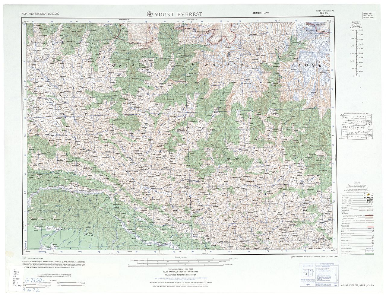
The Sun Kosi descends from glaciated highland valleys and alpine slopes, cutting steep gorges in its upper reaches and developing broader, braided channels as it moves to lower elevations. Seasonal melt from snow and glaciers, together with monsoon rains, produces pronounced variation between high summer flows and lower winter discharges. Sediment carried from the steep watershed contributes to dynamic channel changes downstream. The Sun Kosi joins other Himalayan streams, notably the Arun and the Tamur, to form the larger Saptakoshi or Kosi river system that drains into the Gangetic plain.
Watershed, ecology and communities
The river basin spans a wide altitudinal range from alpine meadows and conifer forests to subtropical valleys and floodplains. This diversity of zones supports varied plant and animal communities and traditional human settlements. Local villagers practice terrace agriculture, livestock grazing and use river water for irrigation and household needs. Riparian forests, wetlands and seasonal floodplains provide habitat for birds and aquatic life and play a role in local livelihoods and biodiversity.
Human uses and recreation
People living along the Sun Kosi rely on it for irrigation, small-scale fisheries and transport in some reaches. The river has attracted considerable interest for hydropower development because of its steep gradients and flow; planners have proposed and built projects of various scales, balanced against environmental and social considerations. The Sun Kosi is also internationally known for white-water activities: multi-day commercial rafting expeditions run sections of the river, drawing adventure tourists to its rapids, remote scenery and varied gradient.
Hazards, management and cooperation
Seasonal floods, heavy sediment loads and landslides in the upper basin can rapidly alter channels, damage infrastructure and affect communities. Flood management, river-training works, watershed conservation and early-warning systems are among the measures used to reduce risk. Because the basin is transboundary in character, effective management involves coordination between upstream and downstream authorities, local communities and disaster-response organizations.
Notable facts and distinctions
- Part of a major Himalayan drainage network that contributes to the Ganges basin.
- Combines with the Arun and Tamur rivers to form the Saptakoshi, a key river system in South Asia.
- Known for steep upper gorges, high sediment transport and pronounced seasonal flow variation.
- A popular corridor for commercial and expedition white-water rafting and an area of hydropower interest.
Related articles
Author
AlegsaOnline.com Sun Kosi (Sunkoshi) — Himalayan river in Tibet and Nepal Leandro Alegsa
URL: https://en.alegsaonline.com/art/94847
Sources
- dsalsrv02.uchicago.edu : A Comparative and Etymological Dictionary of the Nepali Language