St. Croix River (Wisconsin–Minnesota): overview, ecology, and history
A 169-mile tributary of the Mississippi forming much of the Minnesota–Wisconsin border, protected as a National Scenic Riverway and valued for recreation, wildlife, and cultural history.
Overview
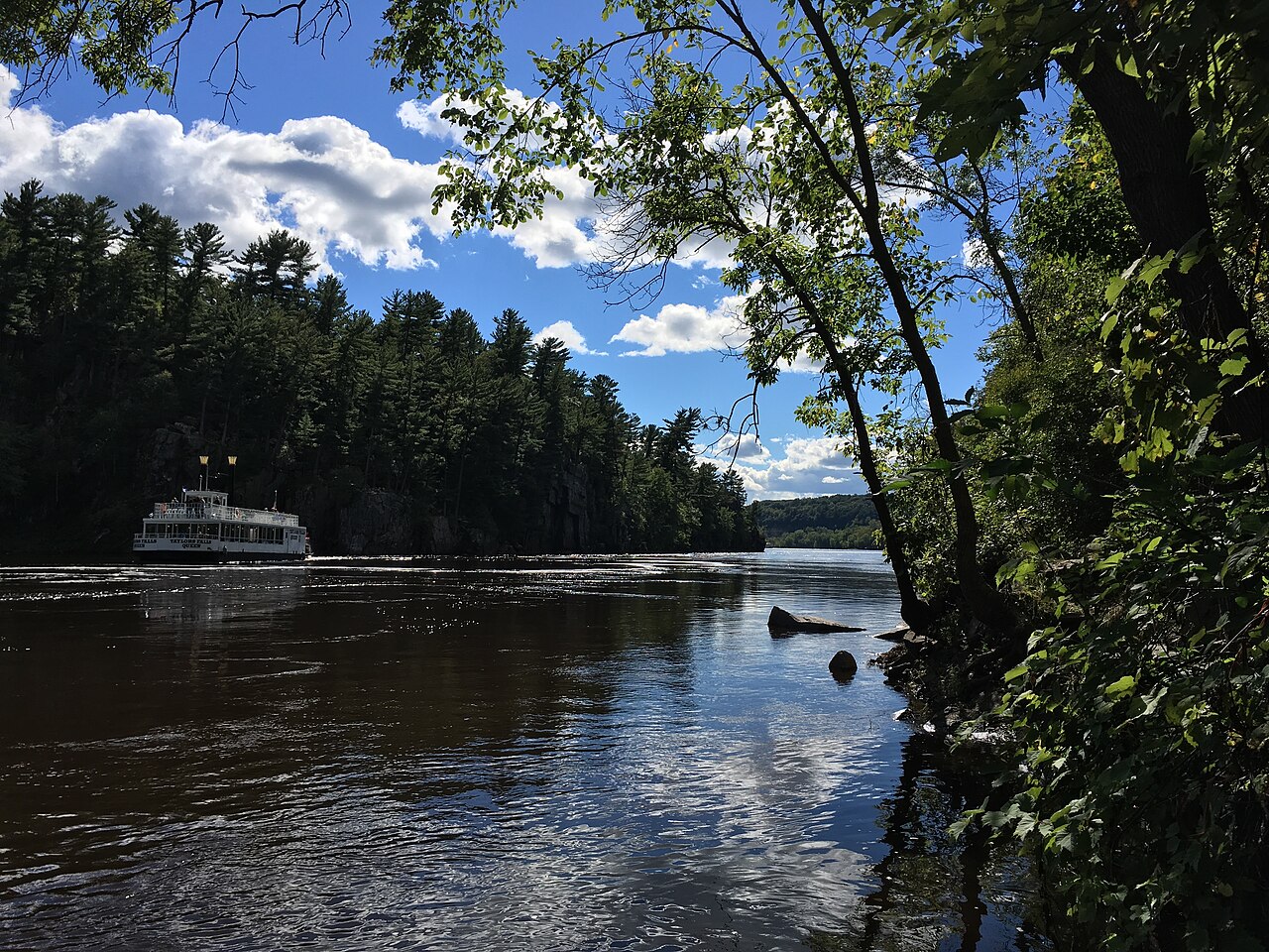
The St. Croix River (French: Sainte‑Croix) is a major tributary of the Mississippi River in the upper Midwestern United States. It is commonly cited as about 169 miles (272 km) long and for much of its lower course forms the boundary between Wisconsin and Minnesota. Representative geographic coordinates for a central point on the river are used in mapping and navigation. The lower 125 miles of the St. Croix form a distinctive state boundary corridor of islands, bluffs and backwater channels.
Image gallery
10 Images


Course and hydrology
The river drains a mixed watershed of forested highlands and agricultural lowlands, flowing generally southward to join the Mississippi near Prescott. Along its course it passes through narrow rocky gorges, broad pools and marshy floodplains. Hydrologic features include seasonal flow variation and several falls and impoundments in the upper reaches; the river system is also monitored for water quality and watershed management by state and federal agencies.
Hydropower and human uses
Historically and today the river has supported mills, towns and power generation. A hydroelectric facility at St. Croix Falls remains a visible example of river utilization; that plant contributes electricity to regional distribution systems that help serve the Minneapolis–St. Paul metropolitan area. Riverside communities developed around logging, milling and transportation uses in the 19th and early 20th centuries.
Ecology and recreation
The St. Croix corridor supports hardwood forests, wetlands and diverse aquatic life. Anglers seek recreational fish such as smallmouth bass and walleye, and the river is popular for paddling, canoe camping, boating and birdwatching. Public access points, campgrounds and interpretive sites along the corridor provide entry for recreation while managers work to limit erosion and protect sensitive habitat.
History and conservation
Indigenous peoples long used the valley for travel, fishing and settlement before contact with Europeans; later French explorers and fur traders gave the river its present name. During the logging era the river carried timber and shaped settlement; remnants of that history remain in towns and park interpretation. Much of the corridor is now protected as the St. Croix National Scenic Riverway, administered by the National Park Service, which coordinates with state and local partners to balance recreation, habitat protection and cultural preservation.
Management challenges and visiting
Ongoing conservation concerns include invasive aquatic species, shoreline development pressure and maintaining water quality across land uses. Notable river towns such as Stillwater, Hudson and St. Croix Falls provide boat launches, parks and visitor information; authoritative maps and watershed data are available through official regional resources and planning pages for the river system.
Questions and answers
Q: What are the coordinates of the St. Croix River?
A: The coordinates of the St. Croix River are 44°44′45″N 92°48′10″W / 44.74583°N 92.80278°W / 44.74583; -92.80278
Q: How long is the St. Croix River?
A: The St. Croix River is about 169 miles (272 km) long.
Q: Where does the river flow?
A: The St. Croix River flows in the U.S states of Wisconsin and Minnesota, with its lower 125 miles (201 km) forming a border between Wisconsin and Minnesota.
Q: Is it protected by any government agency?
A: Yes, it is a National Scenic Riverway under the protection of the National Park Service.
Q: Does it provide any other services besides being scenic?
A: Yes, a hydroelectric plant at St. Croix Falls supplies electricity to the Minneapolis–St Paul metropolitan area from this river's power source .
Q: What type of river is it?
A: It is a tributary of Mississippi River .
Related articles
Author
AlegsaOnline.com St. Croix River (Wisconsin–Minnesota): overview, ecology, and history Leandro Alegsa
URL: https://en.alegsaonline.com/art/93125
Sources
- viewer.nationalmap.gov : The National Map